Tumac Mountain & Lookout Site
Lookout elevation: 6,340 feet
Elevation Gain: 2,050 feet
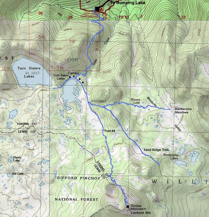
Distance: 3.75 miles
Access: Rough Gravel
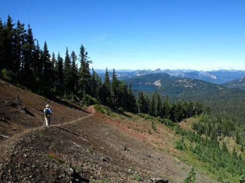
Located on the high plateau between White Pass and Bumping Lake, in an area known for many lakes and meadows is a cinder cone volcano. The volcano is located all alone far removed from other mountains so it has over 1,100 feet of prominence. Tumac Mountain was named after two Macs, McDuff and McAdam, Scottish sheepherders. Two trails access the summit and although trees are starting to grow, much of the summit still offers views. The summit was in the clouds when I visited so I took a bunch of nice pictures from the web to show the view. Tumac is most notable for the fire lookout that was once on the summit.
Access
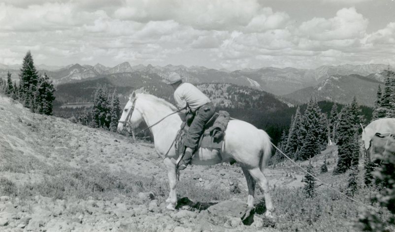
Take Highway 410 to the Bumping River Road. Follow the Bumping River Road to the lake where the road becomes gravel. It becomes the Deep Creek Road, which is bumpy and has had severe washouts in the past closing it from 2006 to 2013. Many free campsites are all along the road. At the trailhead is a small U.S. Forest Service campground. You can also hike to Tumac from Dog Lake at White Pass but it is about 8 miles to reach from there with a bit more elevation gain. The original access into the 1950's was via Summit Creek and the Soda Springs Campground. (Only a gravel road reached White Pass). Eight miles of trail (same #44) would get hikers & horse packs to the lookout.
Route
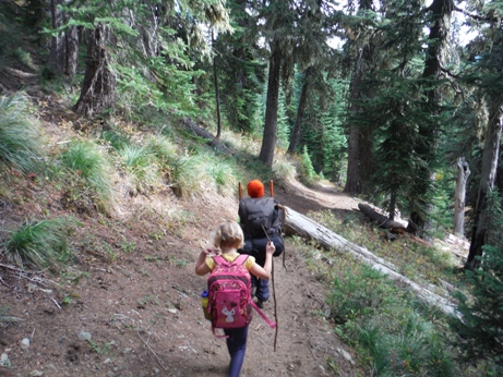
Hike on trail 1.5 miles to the smaller Twin Lakes. Take a left at the lake and go a few minutes to a trail split. Go right on trail #44 and follow to the summit another 2.25 miles. The majority of uphill after the lake is at the end. The trail from the lake can hold snow into July and appears to get very wet.
Washington Former Lookout Sites
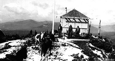
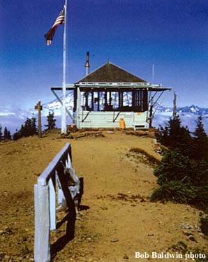
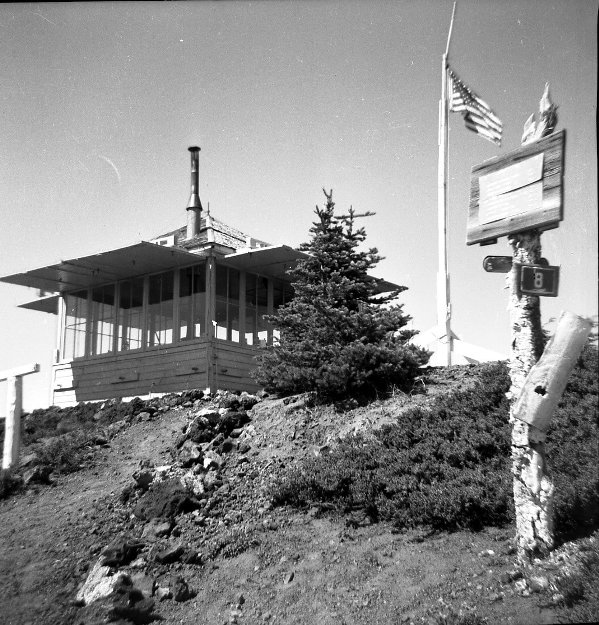
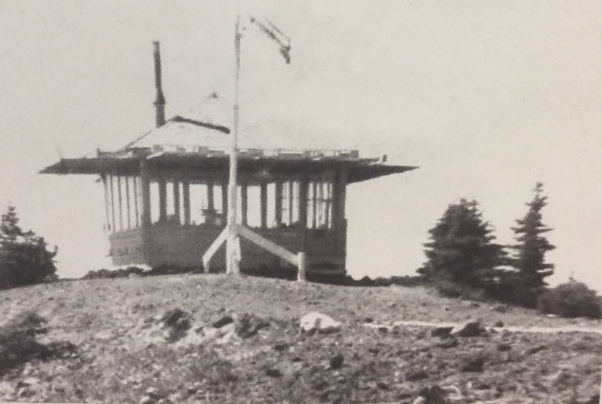
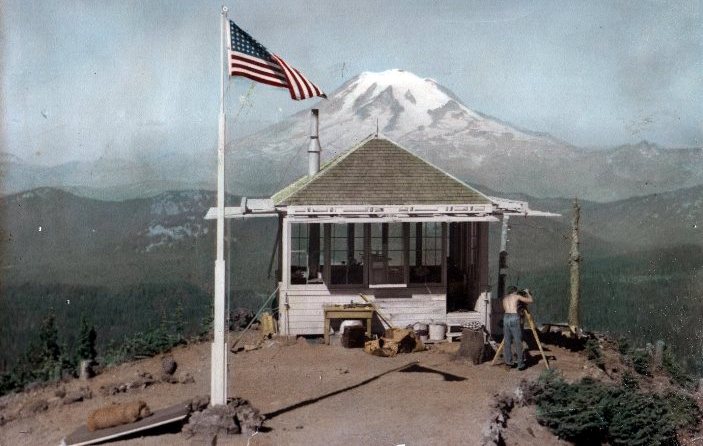
Tumac Mountain around 1937
Tumac Mountain around 1950
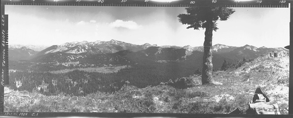
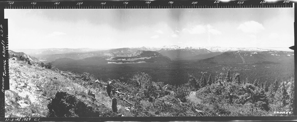
Tumac Mountain Northeast 1929
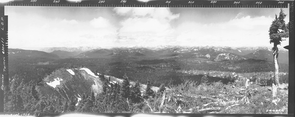
Tumac Mountain Northwest 1929
Tumac Mountain South 1929
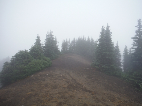

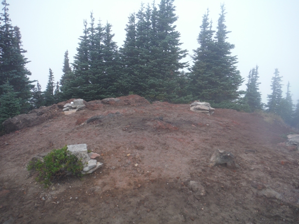

A small collection of junk at the summit
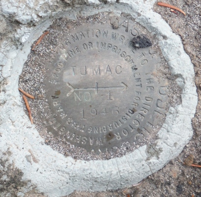
Tumac Reference Benchmark
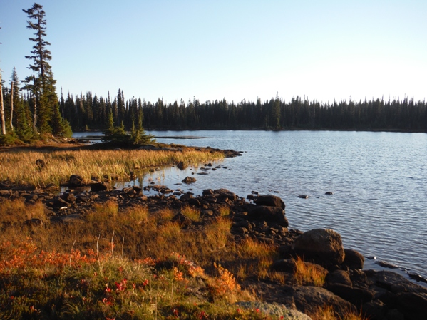
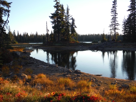
Little Twin Sisters Lake
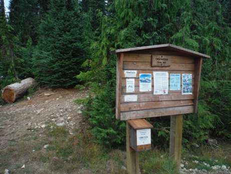
Twin Sisters trailhead
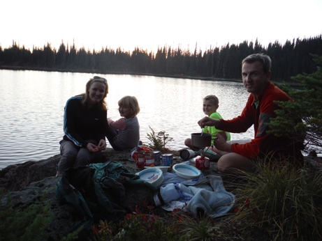
Dinner at the lake
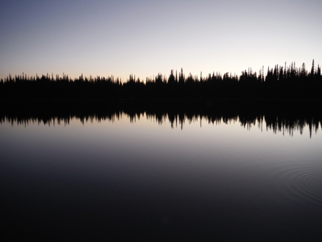
Watching the sunset and the bats fly over the lake
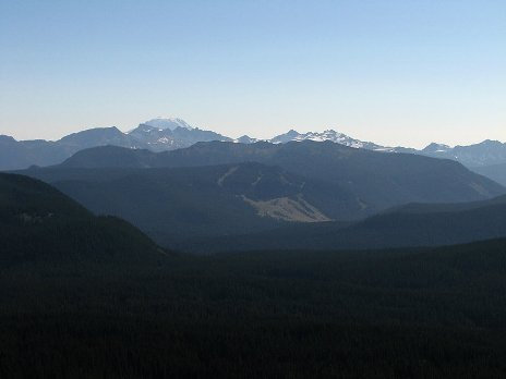
Looking south to the White Pass Ski Area
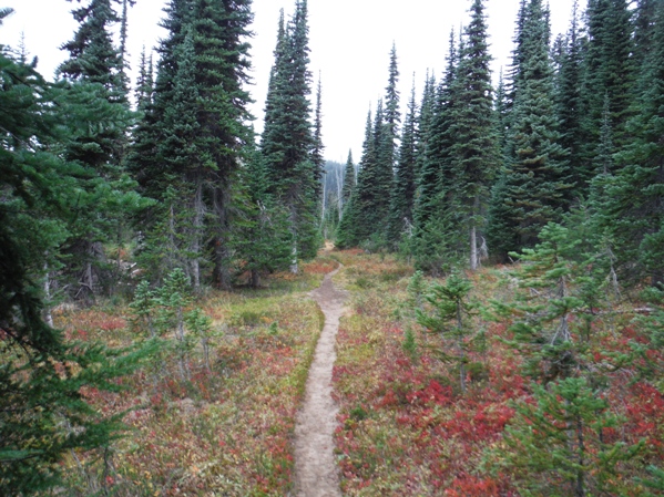
Tumac Mountain Trail
Lookout footings in 2015
Eyebolt 2015
SE from the footings 2015
Lookout History
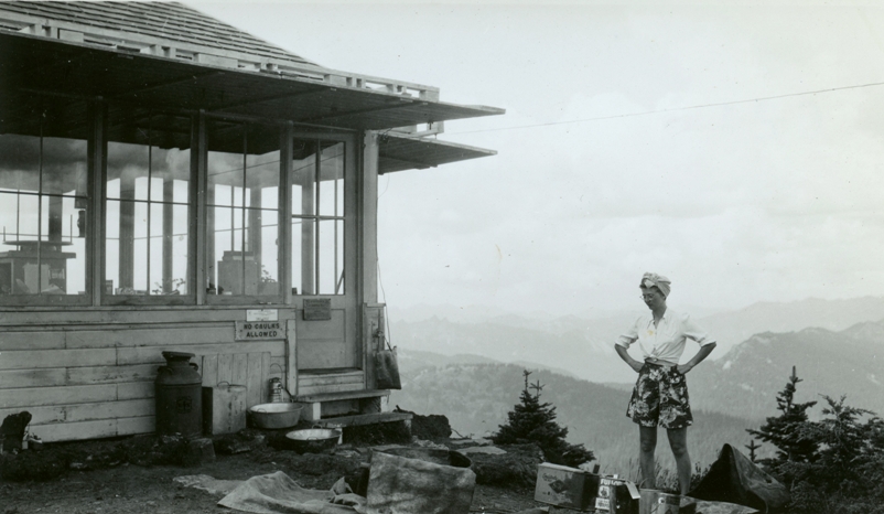
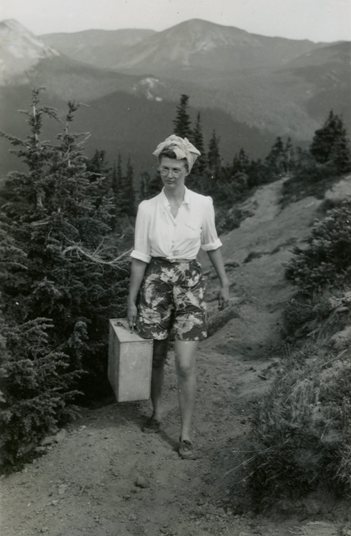
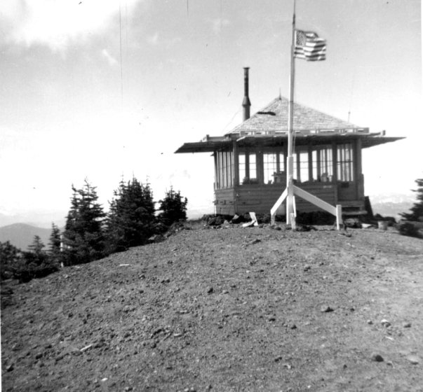
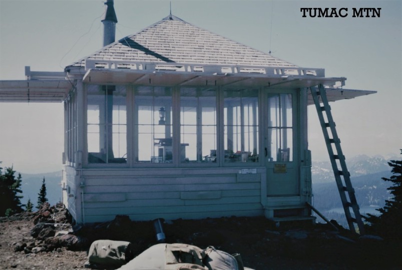
A camp was established in 1930. The trees had been cleared in the 1929 panoramics. In 1937, an L-4 cab was built. It was removed by 1968. Bob Baldwin, former lookout at Tumac is quoted as saying about the summer bugs "Either I had to stay in the lookout and roast to death, or go outside and get eaten alive."
The Daily Chronicle had a tidbit on October 17, 1961: "If Centralia College student Joe Mills thought he was going to 'get away from it all this past summer, he was sadly mistaken. Mills manned a lookout station in the Packwood district that was 20 miles northeast of Packwood. The lookout required a hike of 10 miles to reach. And yet this remote spot received 179 visitors from July 15 to Sept. 15, according to records maintained in the Packwood district of the Gifford National forest. Obviously, Mills had plenty of company to share his lonely vigil at the Tumac lookout."

Eastern William O Douglas Wilderness peaks (image taken from web)
Trail near summit (image from web)
Tumac painting 1939
Unknown Lookout
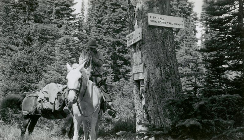
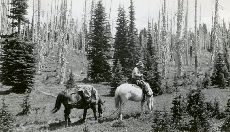
Supplies in route to Tumac Lookout
Supplies in route to Tumac Lookout
Supplies arriving at Tumac Lookout
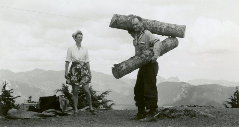
Wood supply
Checking arrived supplies
Tumac Mountain Lookout
Tumac Mountain Lookout
September 1962
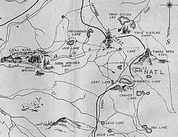
1936 Recreation Map
1963 Lloyd Raff Photo of Tumac
