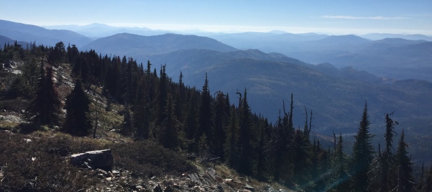


Sullivan Mountain Lookout Site
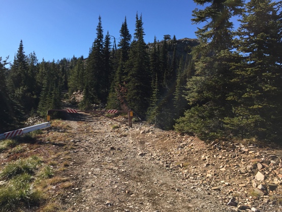
Sullivan Lookout from the gate
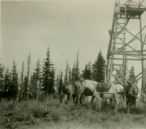
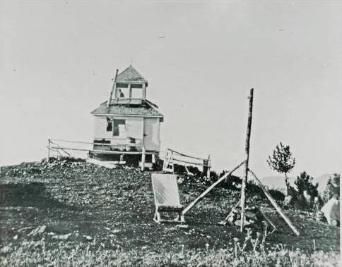
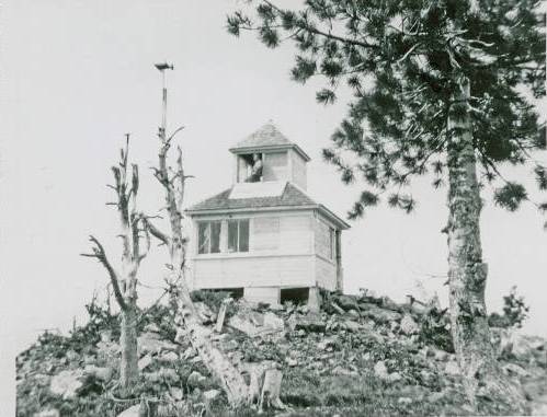
Labeled Sullivan Lake Ranger Station
WillhiteWeb.com: Fire Lookouts
1931
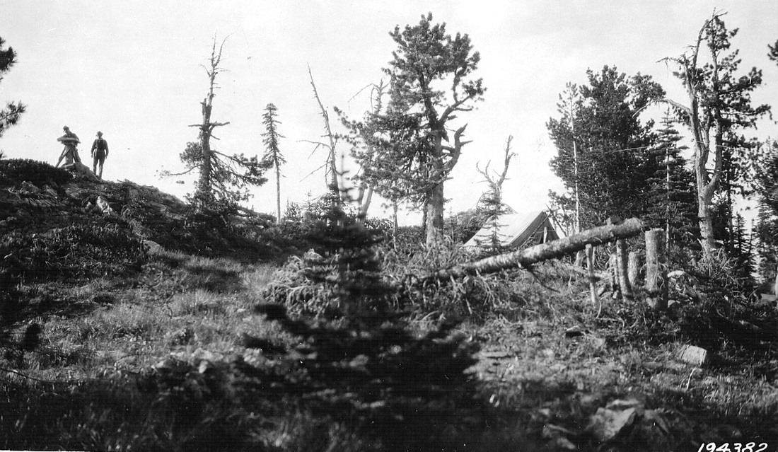
1924
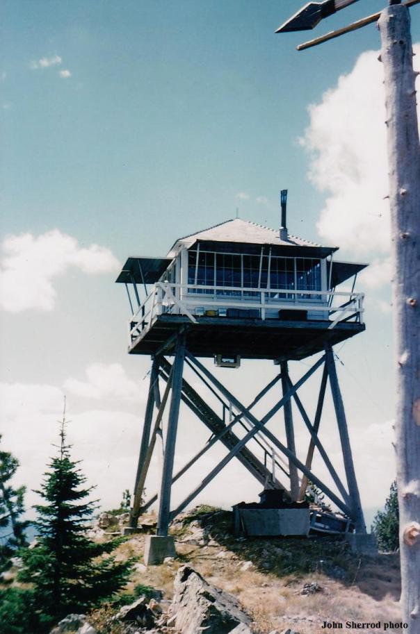
Elevation: 6,483 feet
Hiking Distance: Gated a half mile before lookout
Elevation Gain: 287 feet
Prominence: 323 feet
Access Road: High-clearance, 4WD is best
Rising above Lake Sullivan, at the edge of the Salmo-Priest Wilderness, Sullivan Mountain has both a road and trail approach.
Access
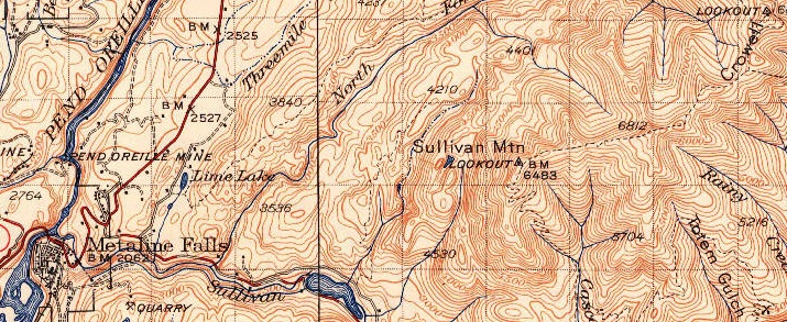
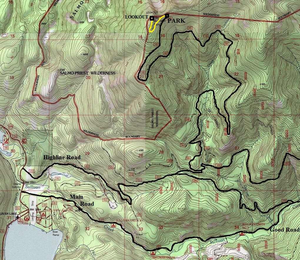
Use map below for access from Sullivan Lake. The Highline Road is most direct but the main road #22 and connector is probably in better condition. Either way, once the two routes converge, the road deteriorates into high clearance terrain. Although the road is rough, many have pushed their vehicles with small clearance up the road to the gate. But high-clearance, 4WD with good tires is probably best advised.
Lookout History
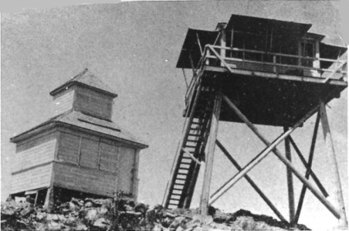
Was a camp in 1924. In 1926, a D-6 cupola cabin was built.
In 1935, a 20 foot round timber tower with an L-4 cab was constructed,
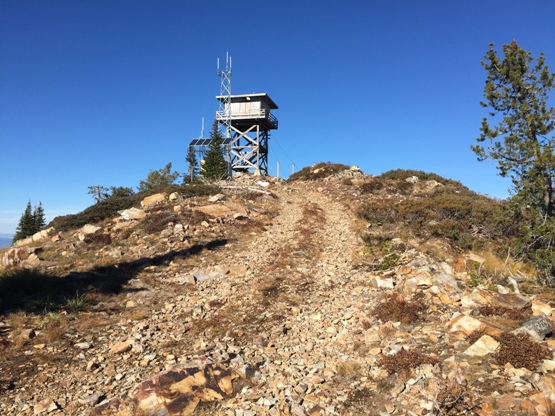
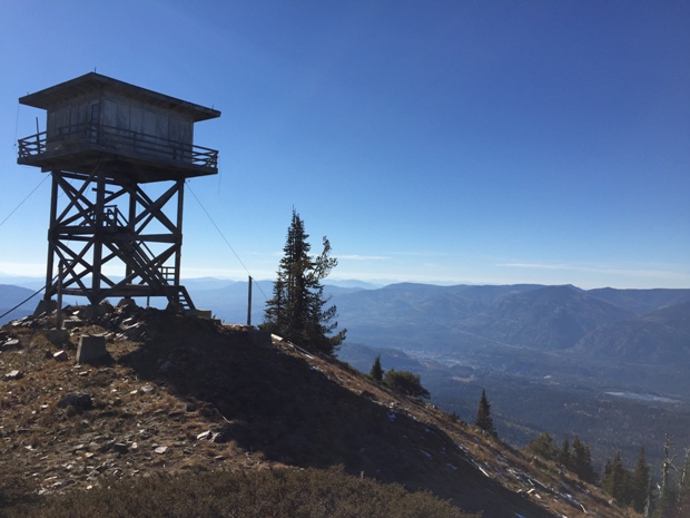
In 1959, an R-6 flat roof cab was constructed atop a 22 foot treated timber tower, final completion was in 1960. This was last used in the 1970s, then abandoned. The upper stairs were removed to limit access for over 30 years.
In 2012, interest started in refurbishing it. Local residents still consider the lookout “their lookout” since it is so highly visible overlooking the Sullivan Lake area. In 2013, Rod Fosback started recruiting help to fix up.
Route
From the gate, a half mile before the summit, just walk the road or go cross country, you see the lookout from the gate.
1937
1958
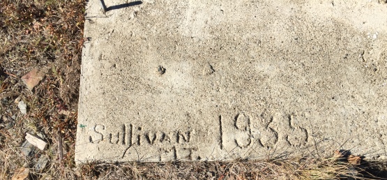
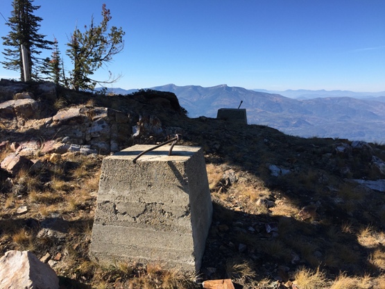
Footings from 1935, a 20 foot round timber tower with an L-4
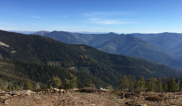
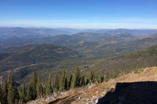
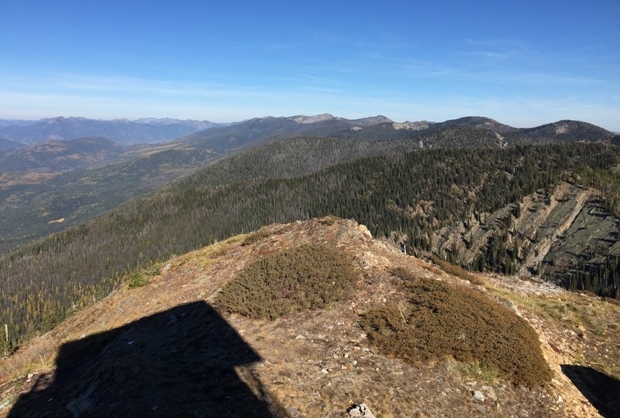
Looking NE toward Crowell Ridge
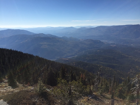
Looking south
Southwest
Northwest
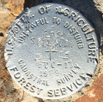
Benchmark
1942 map with 1958 update
On former footing
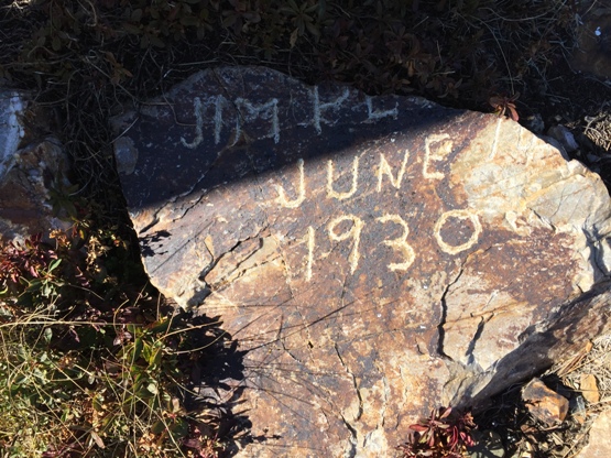
Written on summit rocks
(1926 cupola and the 1935 tower)


