


Strawberry Mountain (Okanogan National Forest)
Elevation: 4,741 feet
Hiking Distance: Just under a mile each way
Elevation Gain: 650 feet
Access: Good roads, any vehicle
County: Okanogan
WillhiteWeb.com: Fire Lookouts
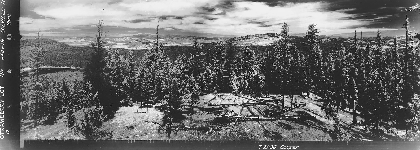
Looking North 1936
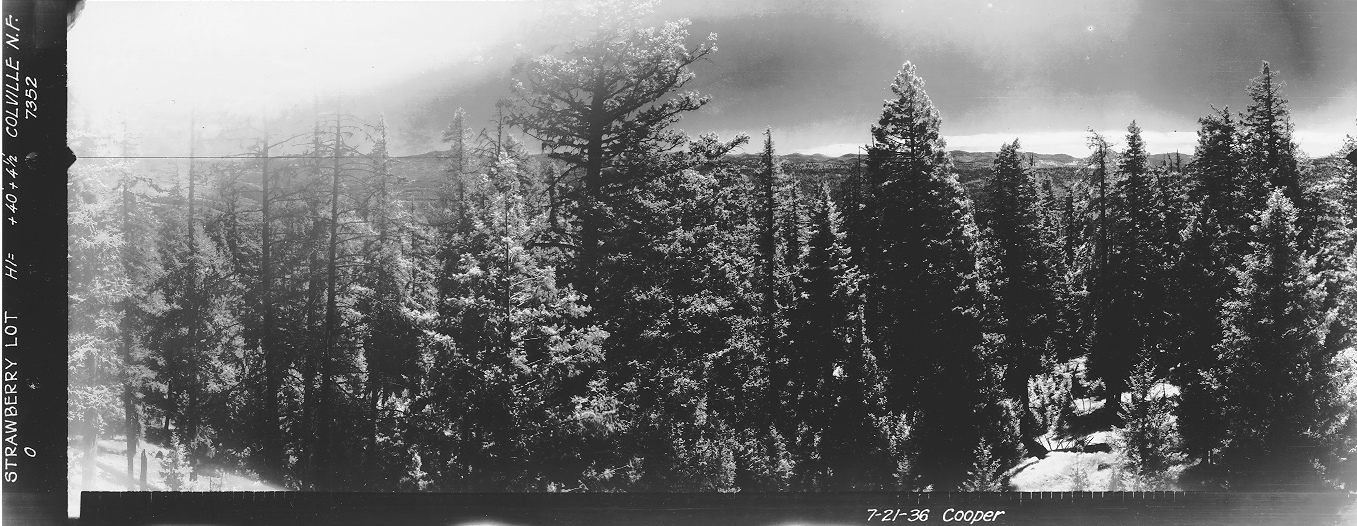
Looking Southeast 1936
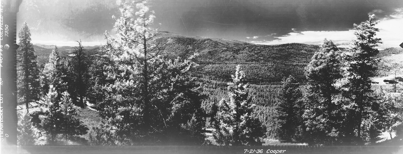
Looking Southwest 1936

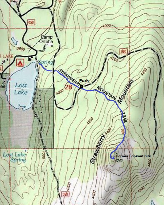
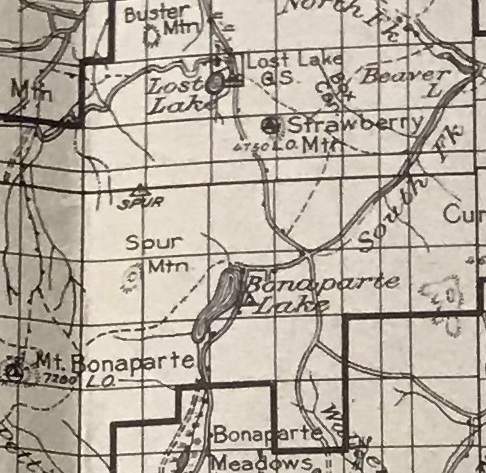
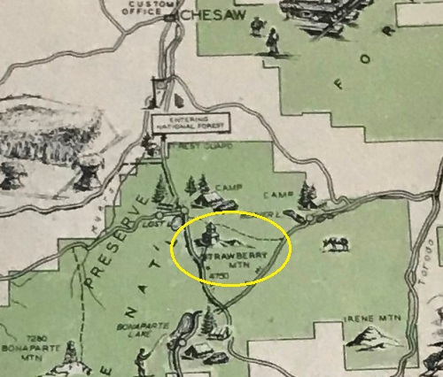
There were two Strawberry Mountains in Okanogan County with lookouts. This is the one just a few miles NE of Mt. Bonaparte between Lost Lake and Bonaparte Lake.
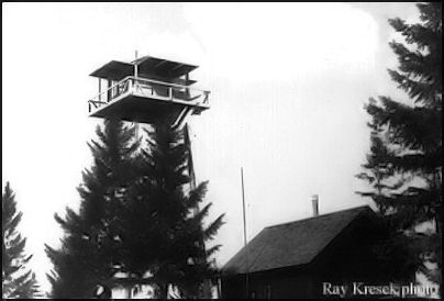
In July 1934, the Republic News-Miner reported that an emergency lookout tower on Strawberry Mountain was being built, including a road to it. The tower was a 40-foot pole tower with an L-5 cab.
In 1936 panoramic photos were taken at 40 feet plus 4.5 feet.
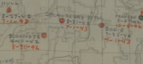
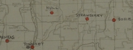
In 1942 the AWS utilized the site for aircraft detection during the war. Used August 21, 1942 to July 1, 1943. A sleeping quarters was added by AWS.
In 1954 the tower was shortened to 10 feet. Its legs were trimmed a foot at a time until it was reduced to ten feet tall for use in training lookouts in the fifties.
In 1963 it was burned. In the 1970s the mountain burned.
Access:
Find your way to Lost Lake. You can start in a few different areas but a road crosses the trail at 4,100 feet and you can park on the side of the roadway (see my map). There even may be a higher access point as a side trail comes in the main trail at 4,400 feet.
Route:
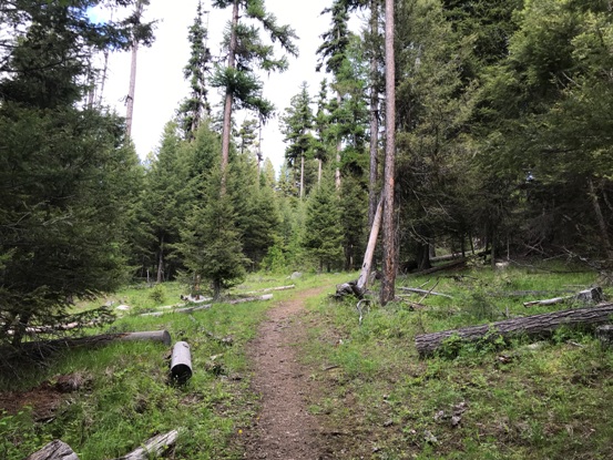
Just follow the nice trail to the top. There is only one side trail at the saddle at 4,400 feet. Go right for the summit.

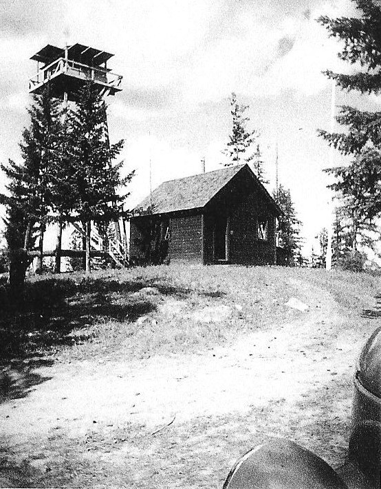

June 19, 1946
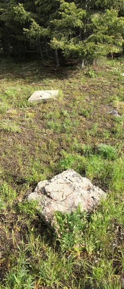
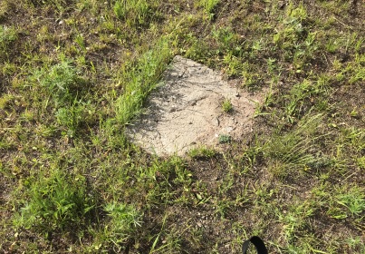
The long tradition of sitting on a footing eating lunch
From the 1930s Cariboo Trail Recreaton Guide
1935 Cariboo Trail Recreation Area
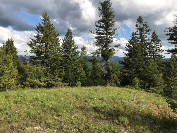
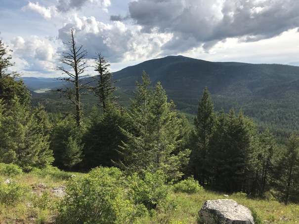
Looking east from the summit
Bonaparte Mountain from the summit
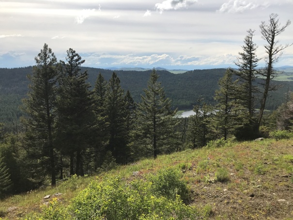
Lost Lake to the west
Two footings
Third footing almost buried
1952 Kresek photo
Strawberry Mountain trail
1936 map
AWS map showing dates
AWS map
Trail in blue
May 1, 1944 list of AWS sites and what to do with them


