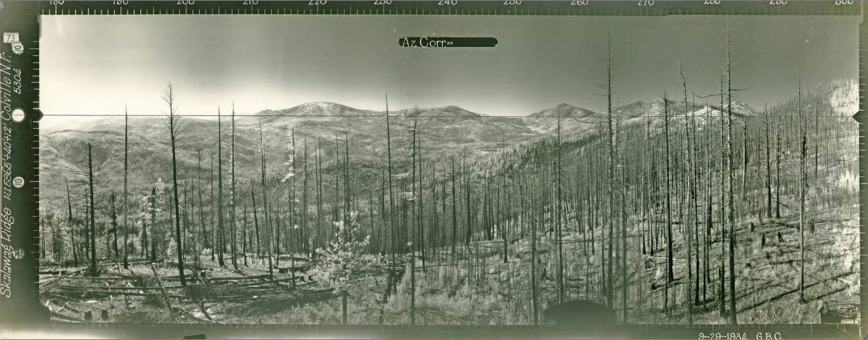


Skalawag Ridge Lookout Site
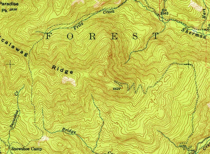
Lookout Elevation: 5,522 feet
Hiking Distance: Have not visited yet
Elevation Gain: Have not visited yet, said to be 1050 feet of gain.
County: Ferry
WillhiteWeb.com
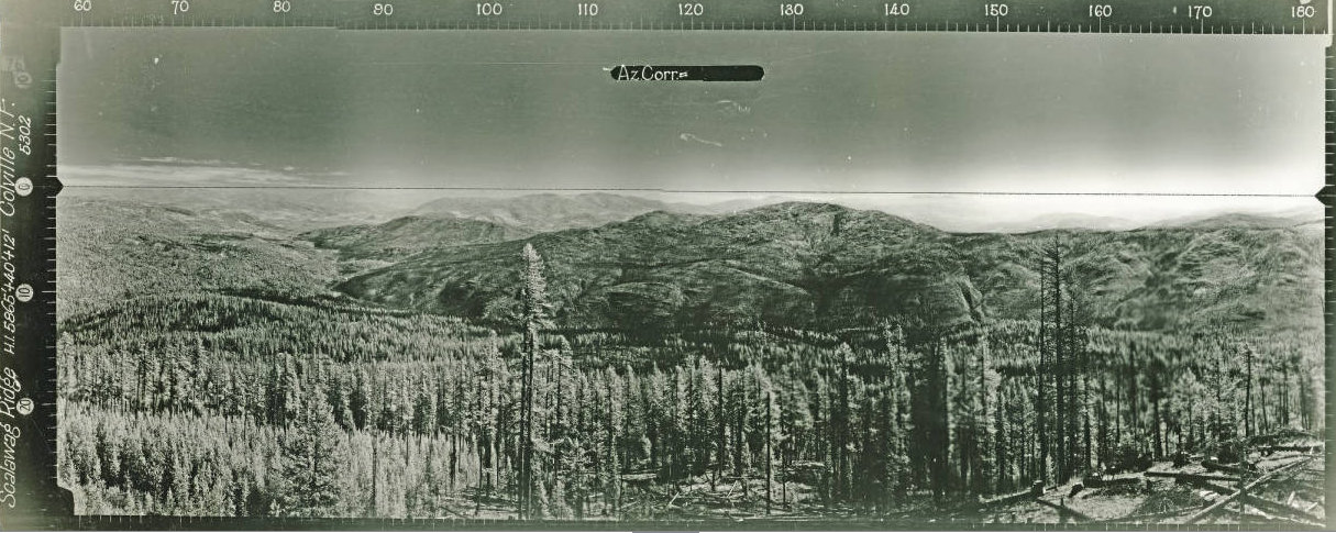
Looking Southeast 1934
Looking Northwest 1934
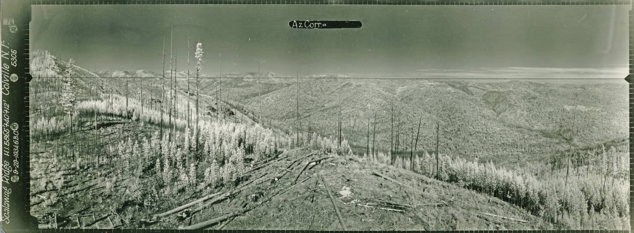
Looking Southwest 1934
The name Skalaqwag Ridge is said to be named for a homesteader who packed in supplies for U.S. Forest Service crews but kept some of the supplies for himself. Regarding the fire lookout history:
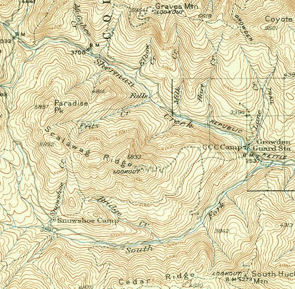
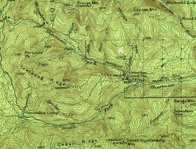
In 1930, a 35-foot timber pole platform was built with a log cabin. The lookout site is 1/2 mile southeast of the summit at the end of a long ridge.
In 1934, a 40-foot pole tower with a 12x12 foot cab was built. The work was completed by mid-June by E.E. Sizemore and crew. Panoramic images were taken from the roof on September 29 at 52 feet above the ground. Around November, crews from the Growden CCC camp began construction of the Skalawag Ridge Road described as “being constructed from the South Fork Sherman Creek Road to the Skalawag Ridge lookout tower.” Work was expected to be completed by the end of the year.
A pole platform tower was also built 2 miles to the northwest (apparently still there in the 1980s).
In the 1950s, the lookout site was abandoned.

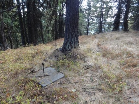
Remaining footing (image by Rod Fosback)
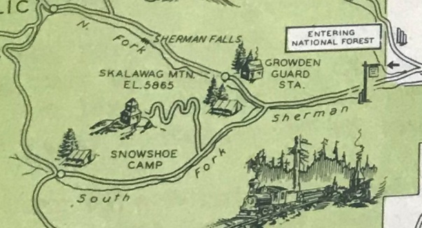
Kettle Falls Recreation Area 1935
Description from the Inland Empire Highway Recreation Guide
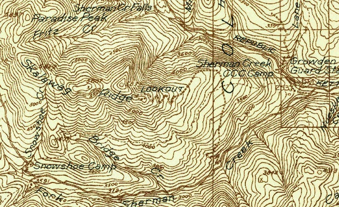
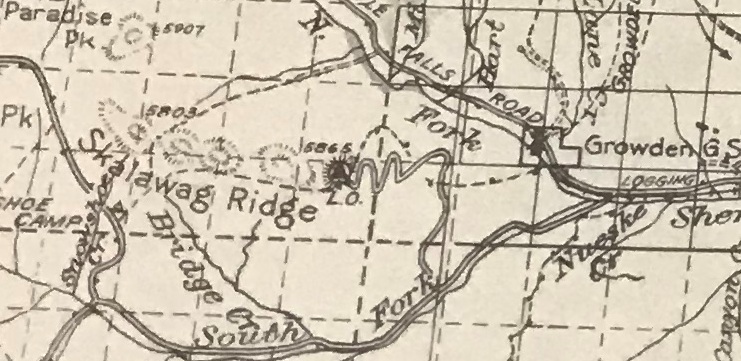
1936 Forest Service map
1951 USGS
1942 USGS, 1951 update
1942 USGS
1936 map


