

Salmo Mountain Lookout Site
WillhiteWeb.com: Fire Lookouts
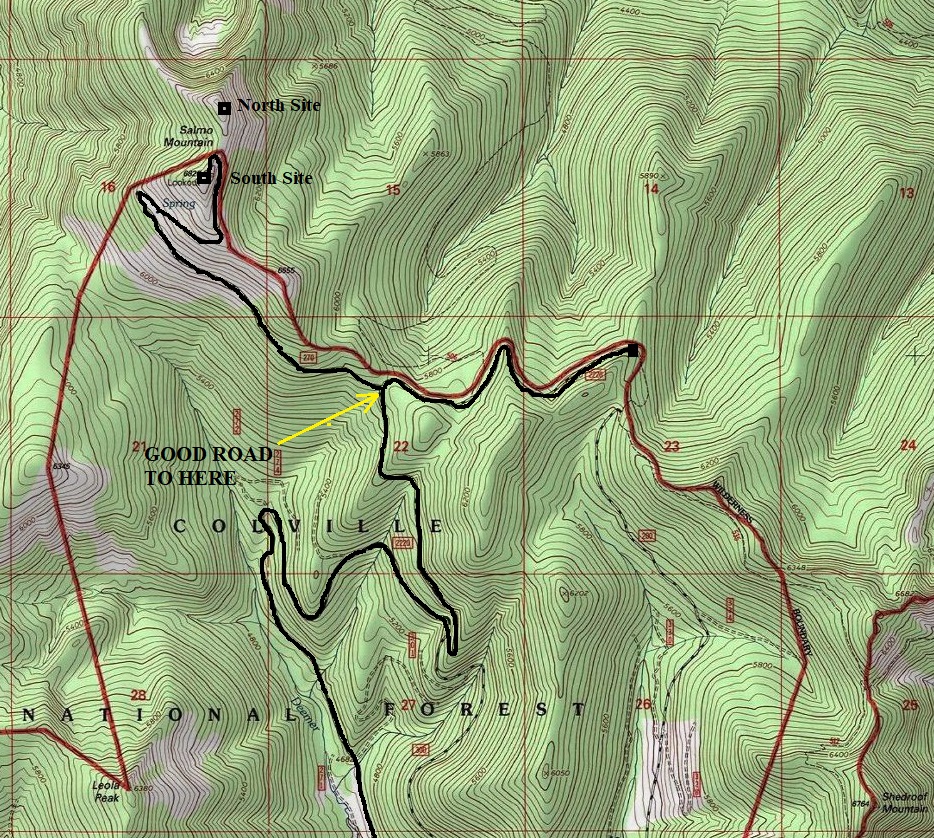
Elevation: 6,828 feet
Hiking distance & gain: Drive-up (or 2 mile road walk, 908 foot gain)
Prominence: 1,120 feet
Access Road: Very nice gravel to final two miles, fair road after that.
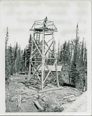
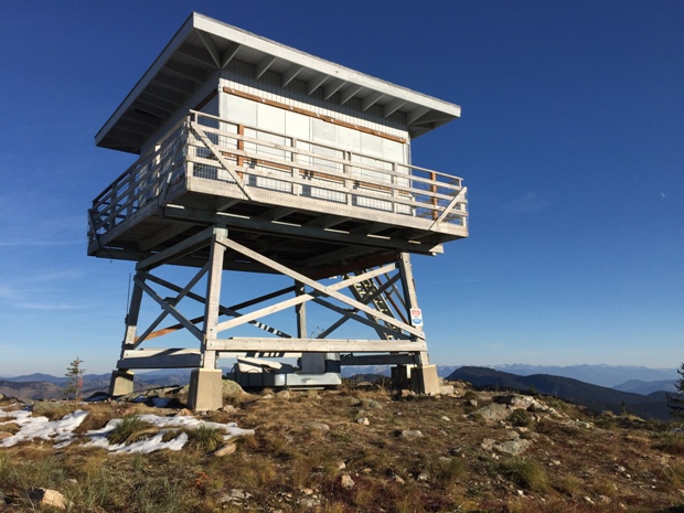
Old Salmo Mountain Lookout (south site)
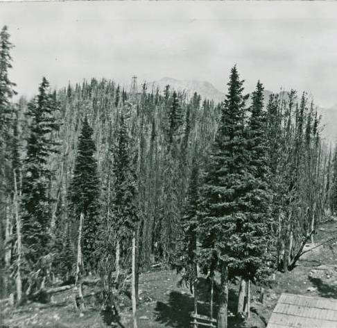
Old Salmo Mountain Tower (south site) with view to north tower
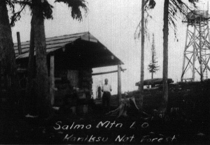
Salmo North site in 1929
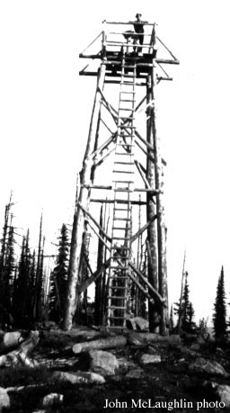
Salmo south site in 1931
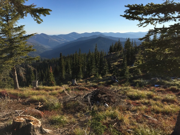
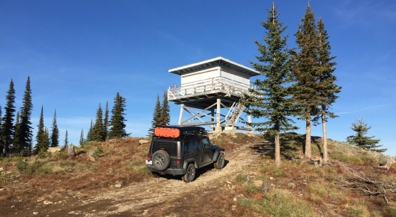
The site borders the Salmo-Priest Wilderness with great views into it. If you want to visit all four corners of Washington, Salmo would be the TOP SITE to visit in the northeast corner of Washington. You can easily look at the swath of cut trees representing the border two miles to the north, or the Selkirk Range of Idaho to the east. There are two sites here a short walk between both.
Access
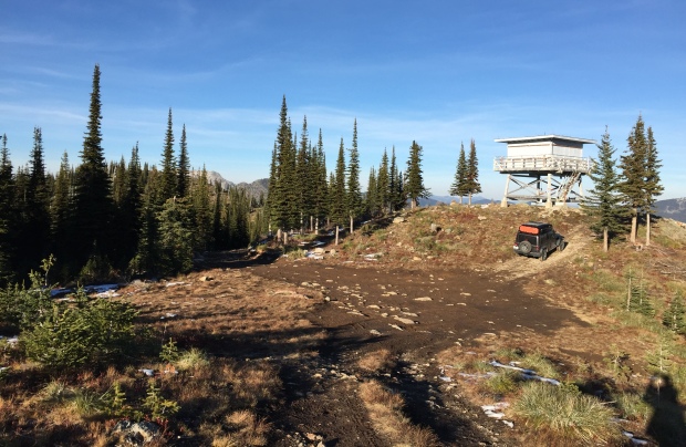
From Metaline Falls, drive north on Highway 31 for 2.1 miles to Sullivan Lake Road. Turn right and drive 4.9 miles to FR #22. Take FR22 for half a mile to a three-way fork. Take Road #2220 for 12.8 miles to #270 (on left), the summit road to Salmo Mountain. If you hit the end of the road, you went too far. The final 2 mile road is subject to maintenance. Most cars can probably make it although some might choose to park and walk if the road is muddy.
Lookout History
In 1927, there was a 35 foot pole platform tower on the south summit and a crow's nest tree platform on the north summit. In 1929, a log cabin was built at the south summit and a pole platform tower on the north summit. About 1933 a 30 foot L-4 was constructed on the south summit. In 1964, the present 10 foot treated timber tower with R-6 flat cab was built on the south summit. This structure is on the National Historic Lookout Register. It was last staffed full-time as a fire lookout in the mid-1970ís although during certain thunderstorms it is staffed. In the summer of 2007, preparations were being made for the rental program installing lightning protection, re-roofing, railing work and painting. Work continued in 2012, still discussing what need to be done to restore for the rental program. In 2016 it received a grant to complete repairs, to be used for exterior paint, roof patching, and hardware for the windows. Matching funds from the Forest Service and employees/volunteers through the Passport in Time Program worked on the project in 2017.
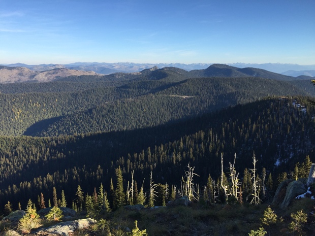
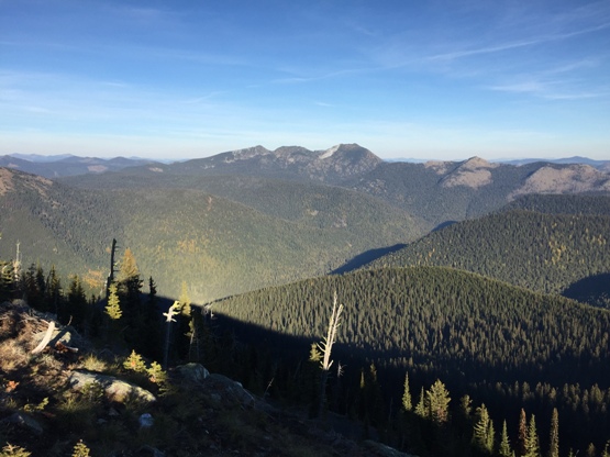
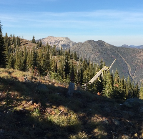
Same view as left in 2018 (Ripple Mountain in distance in Canada)
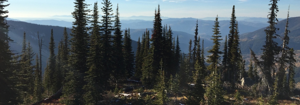
Shedroof Mountain
Snowy Top in Idaho
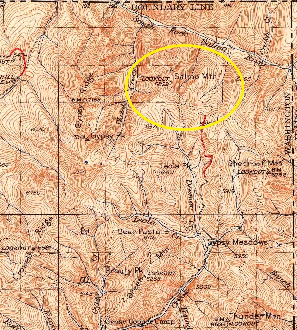
1942 map with 1958 update
West
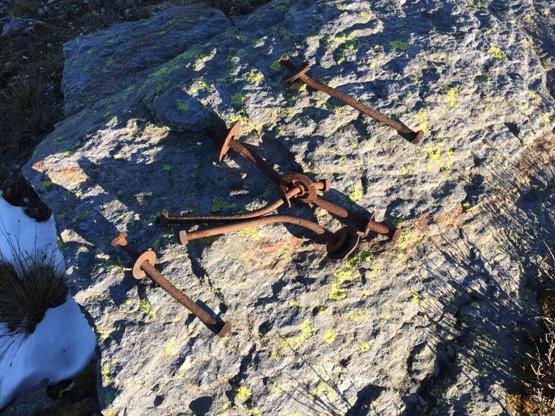
Bolts from the north lookout site
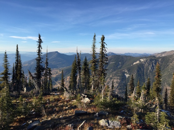
Looking south
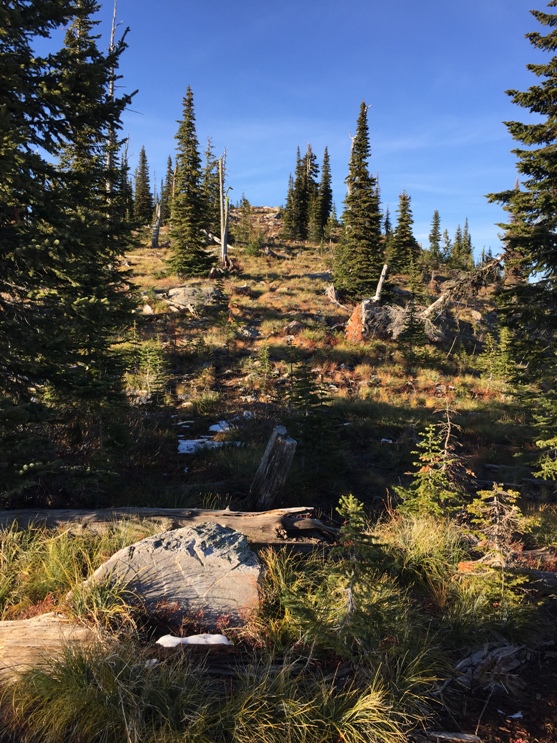
Hiking up to the north lookout site
Lookout site area
Salmo Mountain Lookout
Lost Mountain in Canada (view from north summit)
End of Salmo Mountain Road
The north site is on the higher north summit, just a short hike from the last switchback on the road. The north tower was almost at the summit, just before you get there.


