

Mount Hull Lookout Site
Lookout Elevation: 4,619 feet
Hiking Distance: 0 to 3/4 mile
Elevation Gain: 0 to 400 feet
County: Okanogan
Access: Good Gravel Road to last 3/4 mile
WillhiteWeb.com: Fire Lookouts
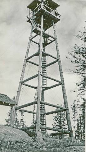
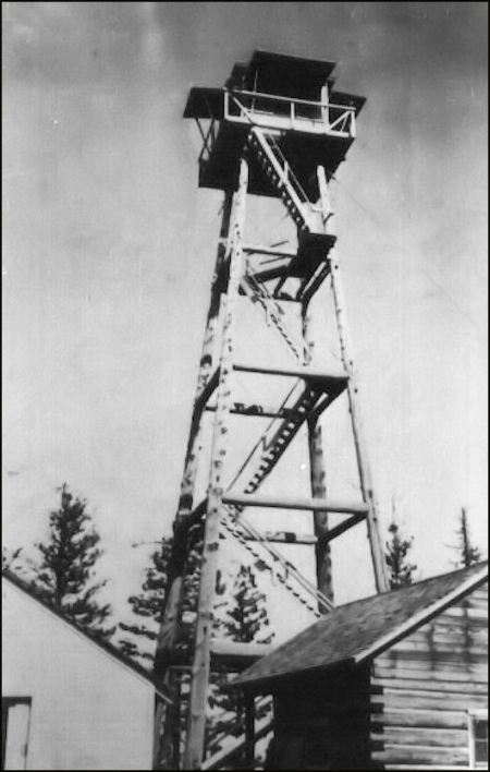




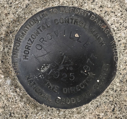
In 1925, the USGS placed a benchmark called Oroville at the future lookout location. They described Mt. Hull as being 1.5 miles to the SE. In time, this location became known as Mt. Hull even though this is not the highest point. Mt. Hull has a huge rockclimbing area on the SW face, National Forest covers most of the mountain, while the southern chunk of mountain is covered with homes. It is also known for its Bighorn Sheep herd.
On May 4, 1934, the Republic News-Miner reported that the road to Mt. Hull is progressing under the supervision of John Wagner, foreman. A lookout tower will be constructed on Mt. Hull when the road is completed.
On May 25, 1934 the road to Mt. Hull lookout had been completed and the construction of a tower had been started at that place.
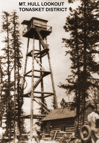
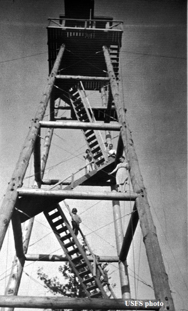
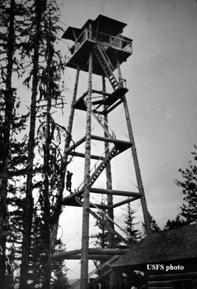
On September 16, 1934, panorama photos were taken at 60 feet plus 15 feet. The Kresek inventory says it was a 72 foot pole tower with an L-6 cab.
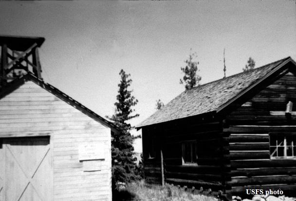
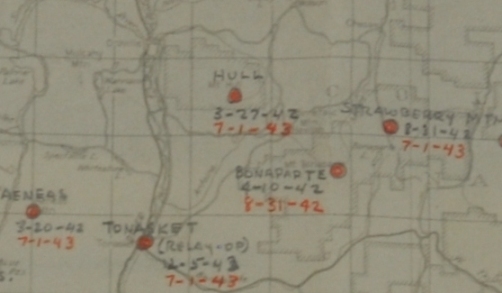
On March 27, 1942 the lookout was used by the Aircraft Warning Service to spot enemy aircraft sneaking in from Canada. Improvement made by the AWS included sleeping quarters and a wood shed.
On July 1, 1943 the station was deactivated as an AWS site.
Sometime in the 1940s, the tower was discontinued.
Sometime in the 1950s, the tower was pulled down and the adjoining log cabin was donated to the Oroville Boy Scounts for their use. But the cabin burned in the 1960s, leaving only a heli-pad on the summit.
In the 1980s, the Mount Hull firefinder became the center of attraction in the L-6 tower cab which traveled along with Ray Kresik to fairs all over the Northwest.
Access & Route:
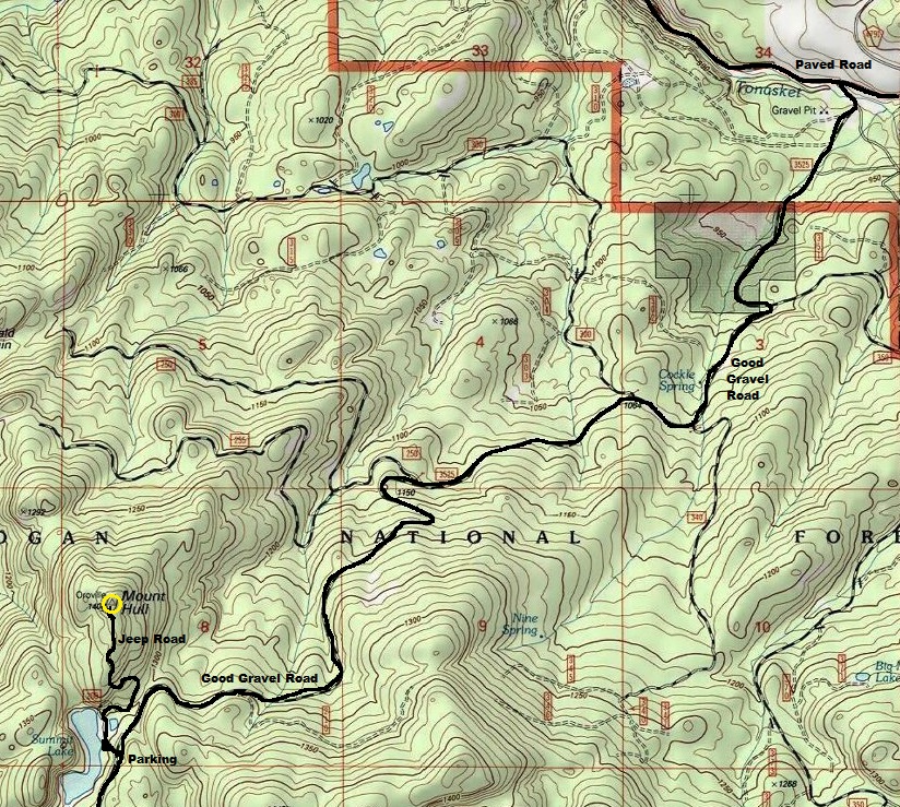
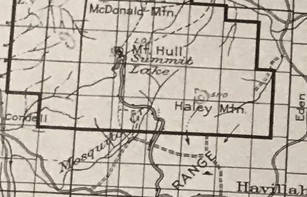
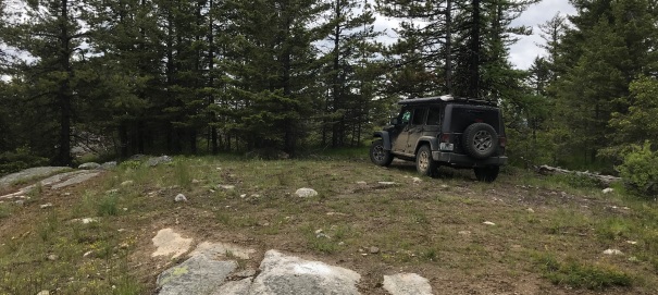
Use the road system shown on topo map below. It turns off the Chesaw Road that goes between Oroville and Chesaw. The gravel road should be well graded to Summit Lake. Most will want to park at the lake but a high-clearance 4WD vehicle can drive all the way to the summit. The mosquitos are really bad in this area. Visited in 2020.
Looking Southwest 1934
Looking Southeast 1934
Looking North 1934
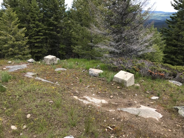
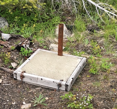
Two footings at the summit
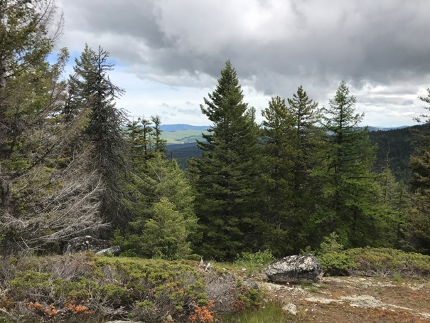
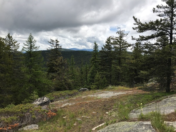
Very little view at the summit

At the top
Mount Hull Lookout Tower
Oroville Benchmark 1925
Unknown at summit
Access in March of 1942
From the Cariboo Trail recreation guide
1936 Tonasket map
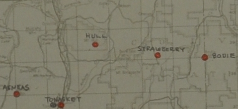
Two AWS maps that show Hull
Route from Chesaw Road out of Oroville


