Mount Bonaparte
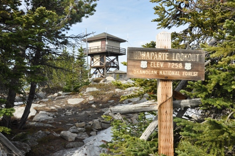
Elevation: 7,258 feet
Distance: 3 miles
Elevation Gain: 2,200 feet
Access: Good gravel
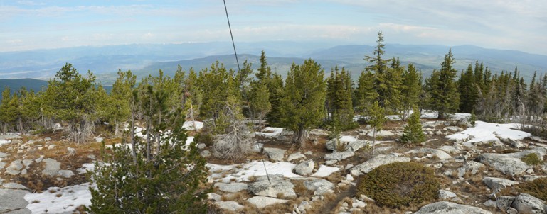
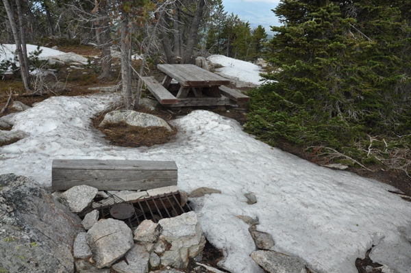
Mount Bonaparte is the highest peak in the mountains just east of the Okanogan River in NE Washington. It stands alone with 3,537 feet of prominence. This makes it the 31st most prominent mountain in Washington State, and 230th in the lower 48 states. Its the third highest peak in all of NE Washington. There are several trails that go up Bonaparte but this report focuses on the most direct and highest access. A few campsites are near the summit buildings, one even has a picnic table and a fire pit.
WillhiteWeb.com
Access
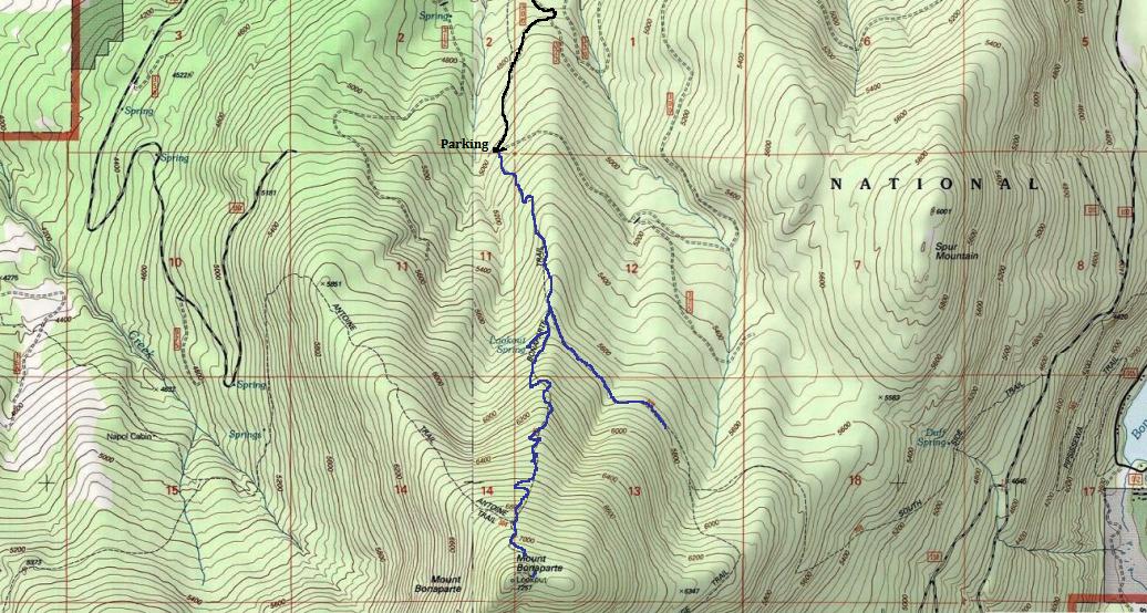
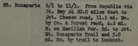
From US-97 in the town of Tonasket, take the paved Tonasket-Havillah Road to Havillah, a scenic 15.5 mile drive. Turn east onto W. Lost Lake Road. Follow West Lost Lake Road for 0.8 miles until arriving at a T road intersection. At the T, turn right. This is the official start of FS-33. Follow FS-33 for 3.3 miles. Turn right onto Road 300. Follow Road 300 for 2.5 miles until the sharp left bend in the road where the upper trailhead is located. (A lower trailhead is located at 1.2 miles).
Bonaparte Trail
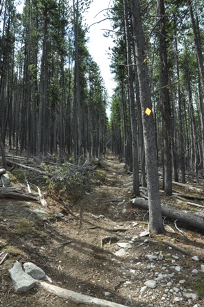
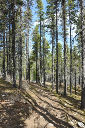
The trail up the north side starts out steep but after a half mile or so, the grade gets easier. At around a mile, the Bonaparte Lake trail comes in from the left at 5,700 feet. A few yards further, a trail to the right goes to Lookout Spring. The spring is about 300 yards away from the main trail. As the trail continues up the mountain, a few switchbacks have been made to make it easier. You can see remnants of when the trail just went straight up the mountain. Trees shade most of the route to the summit. Snow can remain on the trail late into the spring since the trail is on the north side of the mountain.


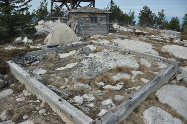
Foundation for the 1930 wooden tower
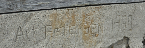
Written in the foundation is Art Petersen 1930
Summit campsite under snow
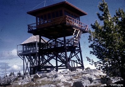
1914 and 1961 Lookouts
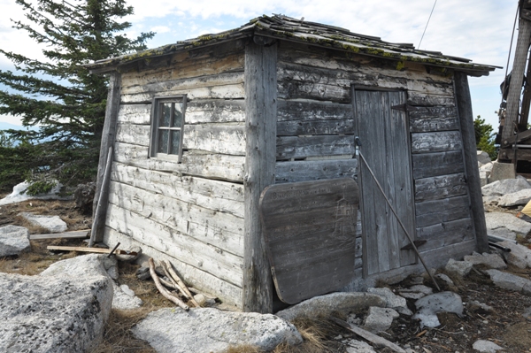
1914 lookout cabin
Mount Bonaparte Trail
Mount Bonaparte Trail
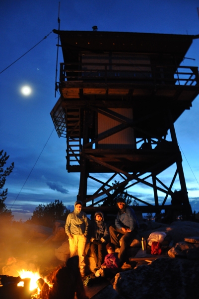
Campfire on the summit
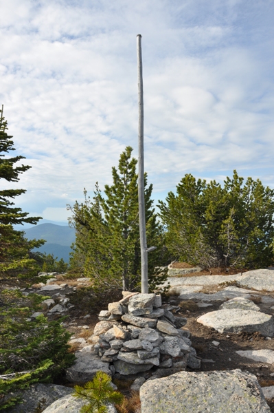
Flagpole
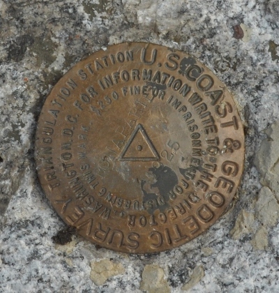
1925 Bonaparte Benchmark
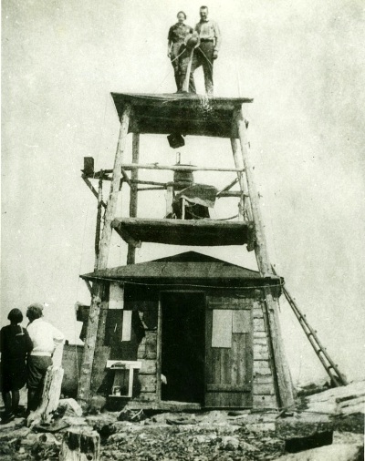
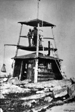
Original 1914 cabin & Lookout Tower
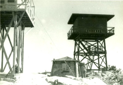
1930 & 1961 Lookouts (Photo in 1962)
All three lookouts
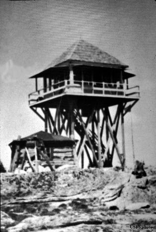
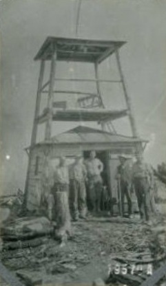
1914 & 1930 Lookouts
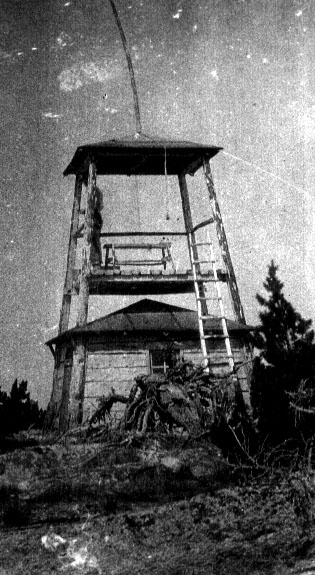
1930 Lookout
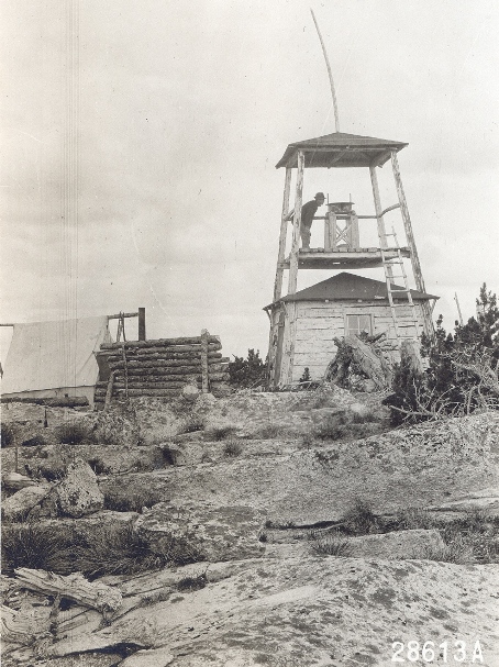
1914 Lookout
1914 Lookout
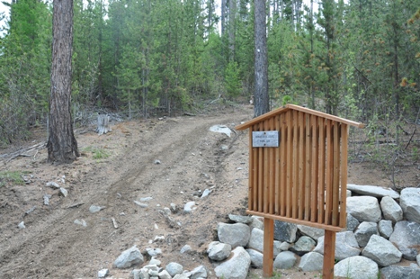
Trailhead
Lookout History
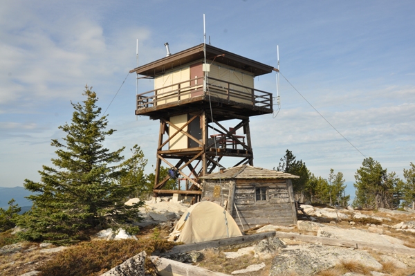
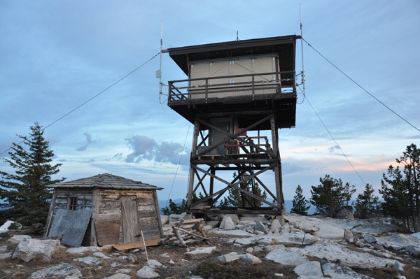
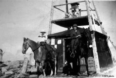
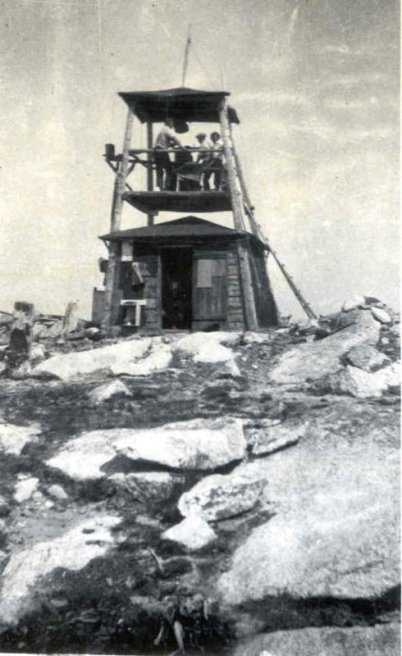
In 1914, a 12x12 foot slant-walled cabin with 15 foot covered platform tower was built. The cabin is still there but the tower on top of the cabin is gone.
In 1919 the lookout was Bergan Moran and he used a heliograph for communication. Trail access was just 4.5 miles.
In 1920 and 1921 the lookout was Fred Schmelling.
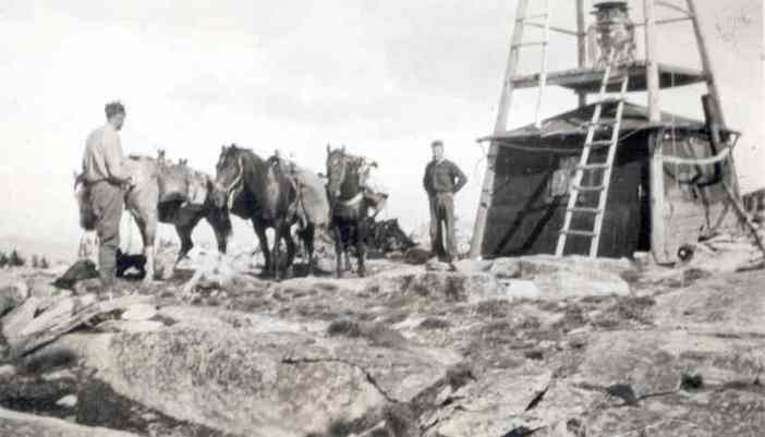
In 1925, the lookout was a Mr. Horning who had a dog that had seven puppies while stationed at the lookout.
In 1928, the lookout was a Mr. Petty. Lookout Petty was returning to his station with a pack load of grub when he met two bear on the trail. The bear were too friendly to suit Mr. Petty, who hastily discarded his pack and climbed a tree alongside the trail. The bear nosed around the pack and kept Mr. Petty up the tree for about an hour and a half, after which the bear padded up the trail. Mr. Petty decided the best pace for him for the balance of the day was at the foot of the mountain, so he hastily scrambled down the tree and beat a hasty retreat to the nearest farmhouse for the night.
In 1929, lumber for a new Lookout on Bonaparte Mountain was purchased and was packed to the top of the mountain by Gilbert Roundy of Entiat and Tom Kroupa of Chesaw. Gordon Sly also helped pack up lumber. They used 12 head of horses in their pack string.
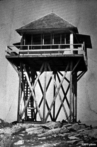
In 1930, a 16-foot wooden tower with cab was built. It is gone but the foundation still exists.
In 1934, panoramic images were taken at 14+5 feet above the ground.
In 1933, a forest fire was discovered near Leese by the lookout on Bonapart and Dugout mountains and reported to Ranger Taylor at Tonasket. With a crew of C.C.C. Boys from the Leese camp the fire was soon put under control, in fact before it attained one quarter of an acre in size.
In 1942, the lookout site was used by the AWS, activated on April 10, 1942 and deactivated on August 31, 1942.
In 1961, the present 20-foot timber tower with an R-6 flat cab was built which is staffed every summer.
In 1969 and 1970, the lookout was a Miss Dianne Woods.
In the 2000s, there was extensive maintenance and the R-6 got at hip roof.

Looking north 2015
Looking Southeast 2015
Looking Southwest 2015


Looking north 1934
Looking Southeast 1934
Looking Southwest 1934
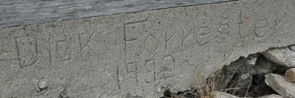
Written in the foundation is Dick Forrester 1930


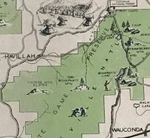
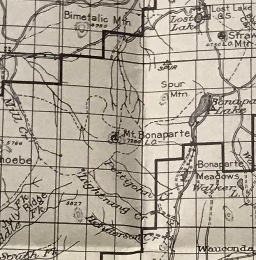
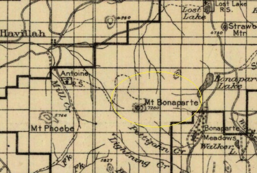
Colville National Forest map 1917
Tonasket Ranger District map 1936
Mid-1920s
Access on March 31, 1942
Cariboo Trail Recreation Area map 1935
AWS observers on April 8, 1942
1925 with Ted Buckley and Stanly Haming
The north ridge trail


