

Mebee Pass Lookout
WillhiteWeb.com: Fire Lookouts

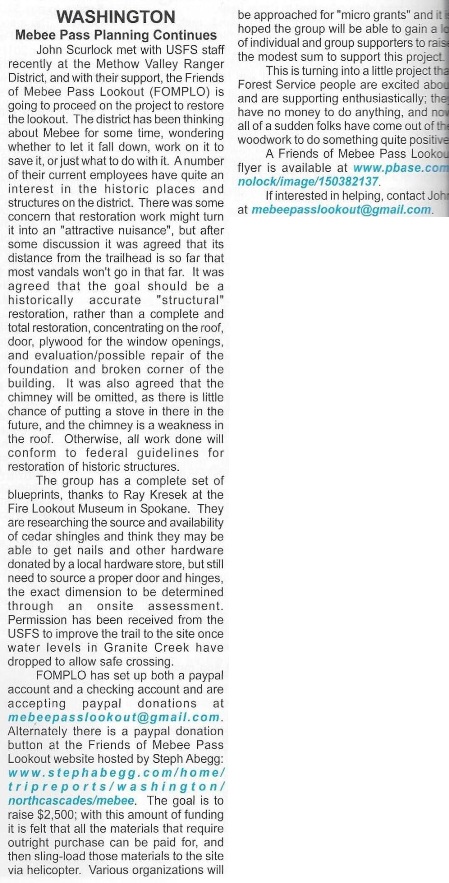
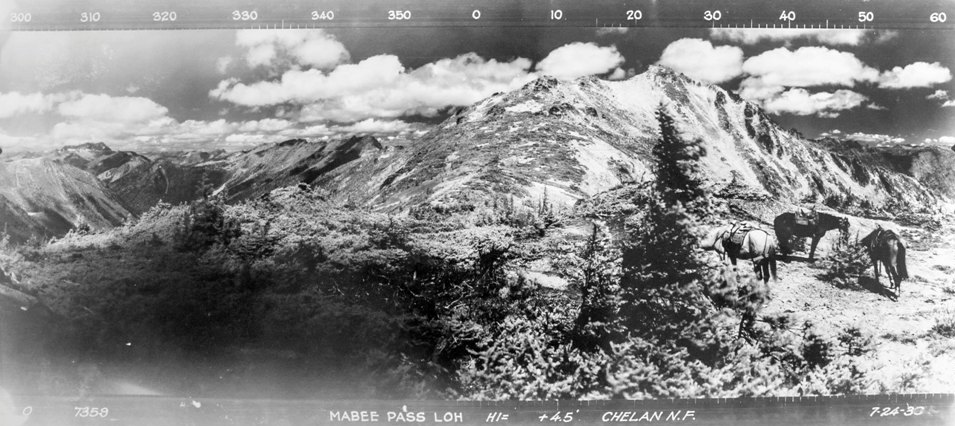
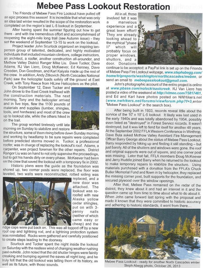
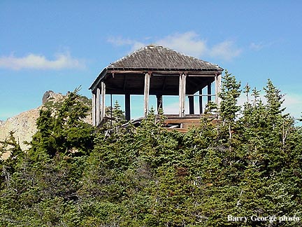
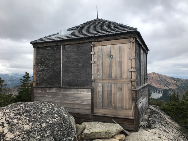
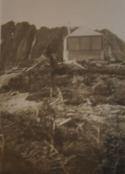
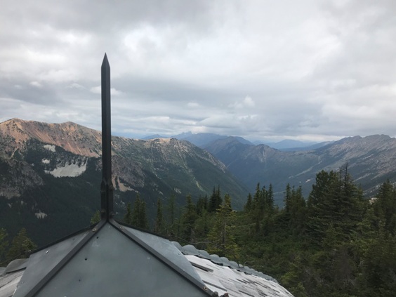
The lookout at Mebee Pass was built sometime in the mid-1930s. We know from a newspaper article on September 2, 1933 in the Wenatchee Daily World, that Tracy Heath was finishing a structure on Setting Sun Mountain and would next be going to Mebee Pass to build a structure. So at the soonest, it was built in 1934. But, the pictures and information in the 1936 panoramics appear to show no lookout yet as of July 24, 1936. Whenever the construction date, the structure was an L-5 cab, one of the last known standing of this type. At some point, the station was abandoned, I have seen dates from 1941 to 1954. Some preservation work took place in 2002 and again in 2013-2015 (see below).
Access:
Take Highway 20 several miles East of the Diablo Overlook to the East Creek Trailhead, right off the highway, well-signed.
Elevation: 6,960 feet
Hiking distance: 8.5 miles one-way
Elevation Gain: 4,462 feet in, 900 feet out
Access: Paved
Route:
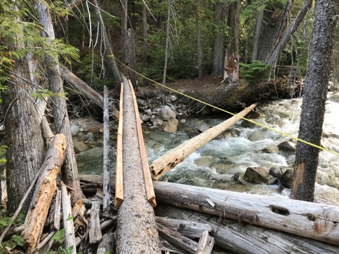
This route is on a trail that had been abandoned. Volunteers have done a considerable amount of work cutting logs out but more have fallen. Also, brush will continue to grow and make trail finding difficult in places. There are also sections of trail completely gone. Routefinding is necessary, although the more people using the trail, the more an established a route will form. Currently the bridge near the trailhead is out. In late summer, you can ford the river. A temporary bridge has been made upstream about 5 minutes. Once you drop down to the river, continue on the trail, past some campsites, through some talus, and find the new bridge. Once across the river, the trail is just up the hillside.
Looking North in 1936
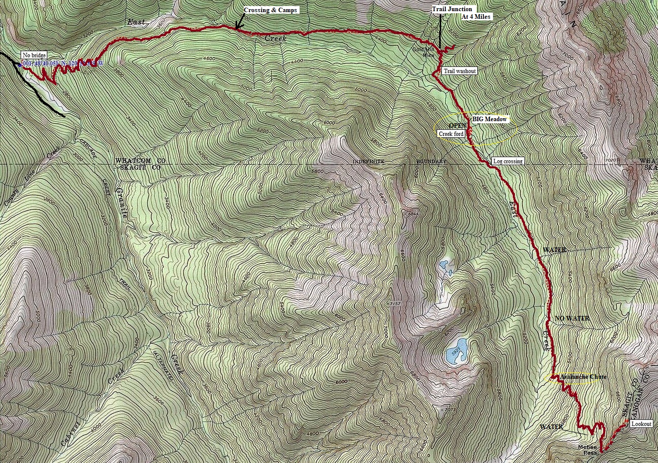
Trailhead to the East Creek Crossing (2.5 miles)
This is the most maintained section. The trail climbs steeply out of the Granite Creek Valley and into the East Creek Valley. There are a few downhill sections near the end. Just before crossing East Creek, there are some nice camping spots along the river.
East Creek Crossing to the Gold Hill Mine Junction (1.5 miles)
This is a good section, put your long pants on, the brush is about to begin. The trail gradually climbs through a nice forest to the junction. You are now half-way there.
Gold Mine Junction through the Washout (1 mile)
From the mine junction, the trail will pass some mining debris, then the trail will drop considerably. Soon, the trail hits a major open area with a large creek coming down the mountain. While standing at the creek, you have two options here but be aware that the trail is going to drop about 200 vertical feet. One route drops down the creek bed, sometimes through waist high brush, following flagging (hopefully), until almost reaching East Creek. Option two: when the trail reaches the creek, drop down about 20 feet and find a trail/route through the vine maple. This route traverses across the vine maple staying at about the same elevation as you were. The route is pretty good (as good as it can be with vine maple) but gets you across the open avalanche area and back into the forest on the other side. Once the forest is reached, the trail disappears. Now you just drop down the forest 200 vertical feet until you run into the trail.
The East Creek Crossing Inside the Meadow
Now that you cleared the Washout, the trail continues up-valley for a half mile or so. A few sections of blow down making things difficult. Soon you pass through a few small meadows (avalanche chutes). The BIG meadow is the issue. You will know you are at the BIG meadow when you are looking at an open area that goes up both sides of the valley, with East Creek at the bottom. Your goal hear is to do a downward traverse, all the way to East Creek, cross the creek, and climb up the embankment on the other side of the valley. You could also just cross the wide meadow, follow the treeline down to East Creek, cross the creek and look for the trail on the other side. Now on the south side of East Creek, a faint trail in the meadow will lead to the timber and get you back inside the forest.
From the Meadow to the Cross Back
This short section of trail on the south side of East Creek is on a faint trail in the forest. There is one point, you will lose the trail, just go left toward East Creek and you will get back on it. There is a log to use for a bridge to cross back over to the North side of East Creek. Once back on the north side, the route is easy going, up the forest for a few miles.
The Final Push
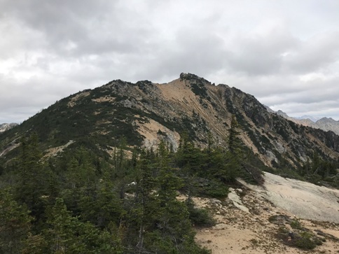
The final few miles that climb up to the pass are in good condition. Down low, there is one avalanche track where the trail switchbacks about 4 times up. The brush is overgrowing but just be aware that the route goes up this. From the pass, just hike up the ridge (no official trail) through brush and dirt, to the top of the highest knob where the lookout is hiding.
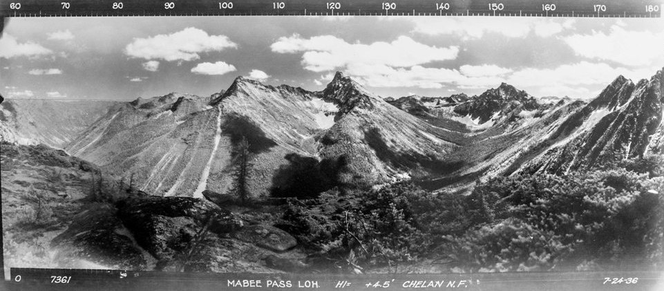
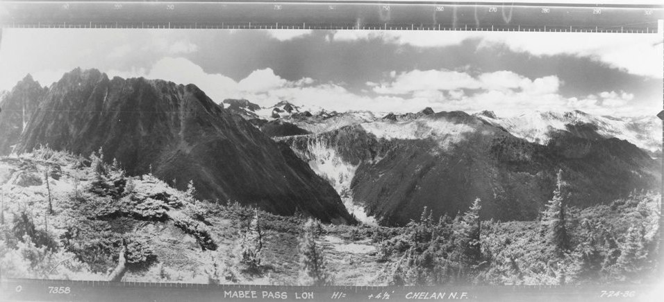
Looking Southwest in 1936
Looking Southeast in 1936
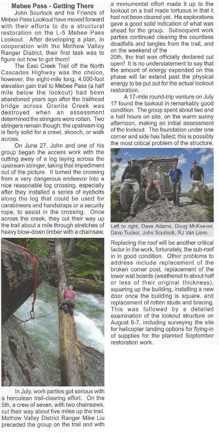
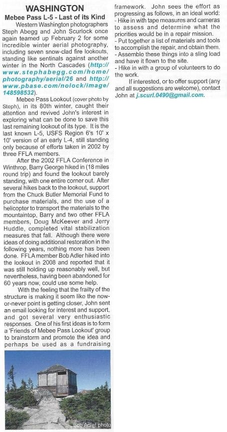
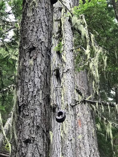

The only insulator I saw the entire trail was at about the 2 mile mark
Looking at Mebee Pass
Mebee Pass Lookout
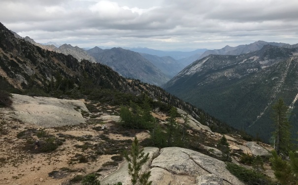
Looking down the Methow Valley
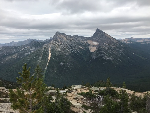
Looking north to point 7482
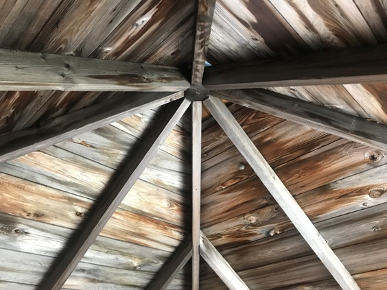
Inside Mebee Pass Lookout
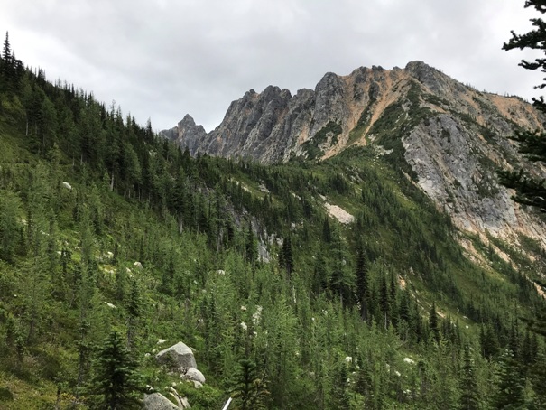
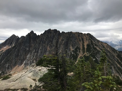
Ridge south of Mebee Pass
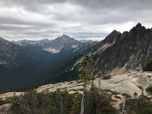
Looking down the East Creek Valley (trail route)
Bridge crossing in 2019
Why some old lookout sites have no footings
Looking up to the head of the Methow and Mt. Harding
Holliway Mountain and Golden Horn
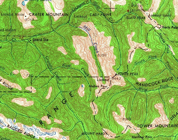
Lookout shown on the 1955 USGS map


