

Lorena Butte Lookout / Twin Buttes
WillhiteWeb.com
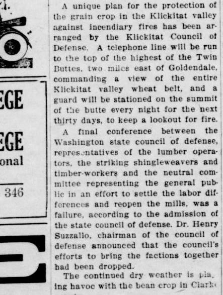
Lorena Butte (Twin Buttes) was named after the wife of an early pioneer family. In 1917, the summit of Lorena Butte was used for protection of the grain crop in the Klickitat Valley against incendiary fires. A telephone line was run to the top of the butte, and a guard was stationed on the summit of the butte every night for thirty days to keep a lookout for fire.
In 1937, the first known structure was developed with an L-4 cab.
In 1953, Irving Bath, owner fo the butte property and former editor of The Goldendale Sentinel, leased one acre of land on top of the butte to the DNR for fifty dollars a year.
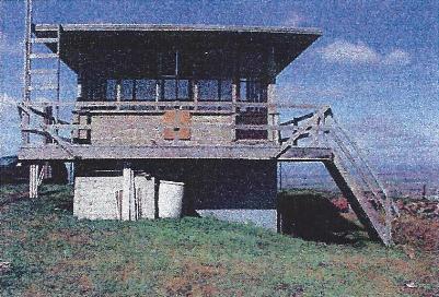
In 1954, a DNR cab was built. The Goldendale Sentinel stated that the new lookout rested on an 8-foot rock foundation and that it replaced the former post at Simcoe Butte, as the local site afforded a better view of the timber stands.
In 1954 the Biennial Report of the Forestry Division said "Lorena Butte Lookout in Klickitat County has a 14x14 ground house on concrete floor foundation. The lookout is equipped with a new type cab designed and engineered by the Division Engineer and prefabricated in the shop during the winter. This new design has reduced by 40 per cent the number of sizes and pieces on the prefabricated building. It is more weather tight and is equipped for cooking and heating with bottle gas. The latter feature eliminates the fire hazard created by use of wood-burning stoves and chimneys in the old type cab."
In 1974, a DNR live-in cab atop a 10-foot concrete slab base was built.
In 1993, Lonena Butte was staffed for the last time. It operated the last three years as a volunteer site manned by Kathy Marshal.
In 2005, on December 15, a newspaper article from the Goldendale Sentinel gave the following story: "Nine windows have been broken out of the Lorena Butte Lookout near Goldendale, according to a man who reported it to the Klickitat County Sheriff's Office. Matt LeFever, 21, believes the damage may have been caused by kids who told him they are in sixth grade. LeFever, who lives next to the lookout, told police that he drove two kids to the Goldendale Library at approximately 4:15 p.m. Monday from near the lookout. He said he gave them a ride because they appeared to be 'freezing' on the roadside. He said he passed two other kids on the outskirts of town. He also said four sets of tracks were visible in the snow going to and from the lookout. LeFever said he learned of the broken windows from the kids, who told him they were broken out of the structure. Now on private property, the lookout was erected in 1953, said LeFever, who has been restoring it for several years."
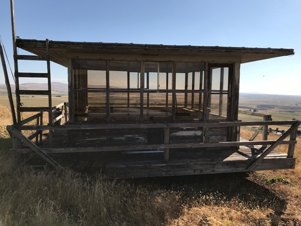
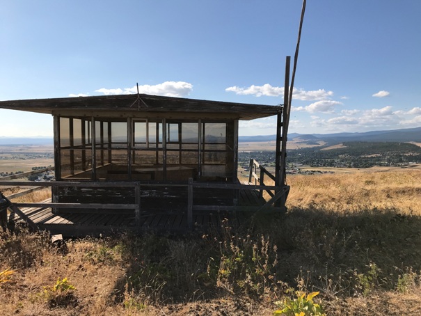
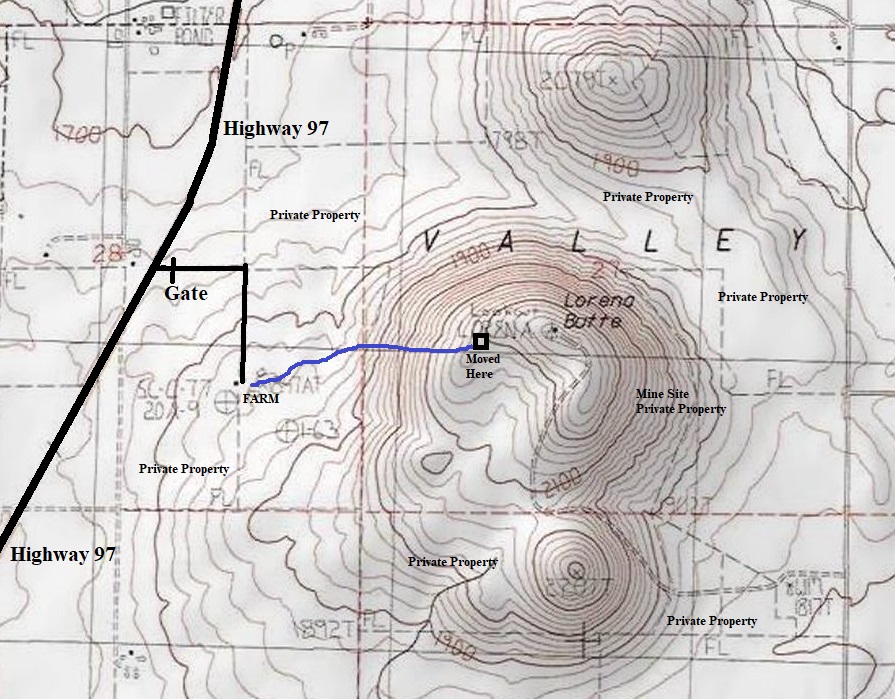
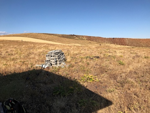
In 2006, the cab was moved from the summit down the ridge to the southwest due to local mining operations. The 10 foot concrete slab base built in 1974 remained. The private owners of the cab say the lookout has occasionally been staffed in the new location during high fire danger times.
In 2013, in late July was one of those times, a major dry-lightning storm moved through the valley and the DNR sat on the mountain top watching as several new fires developed.
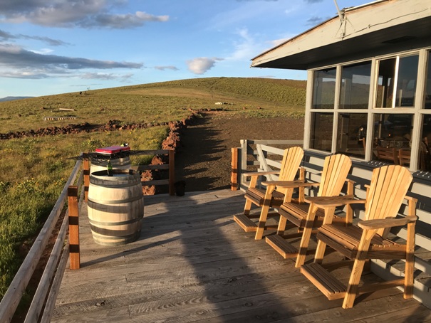
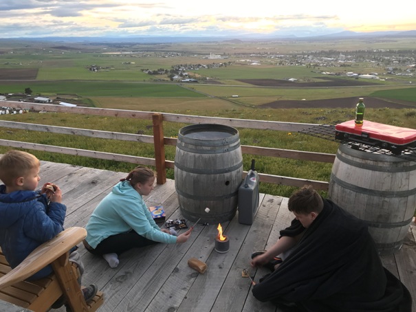
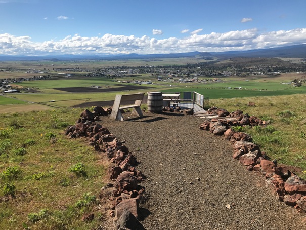
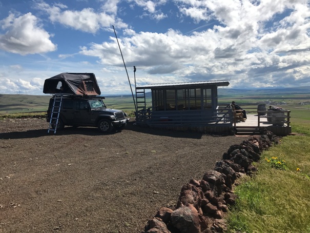
Currently: The lookout is rented out by the landowner.
Access:
This lookout is on private property. You must have permission from the owners who have been super accommodating to visitors who get permission. There is security on site due to the mining operations on the butte. To get permission, contact the Lefever Holbrook Ranch at 509-773-3443. They also have a facebook page that you can message them.
Elevation 2,291 feet
Hiking Distance: 1/2 mile
Elevation Gain: 350 feet
County: Klickitat
Access: Paved
Route:
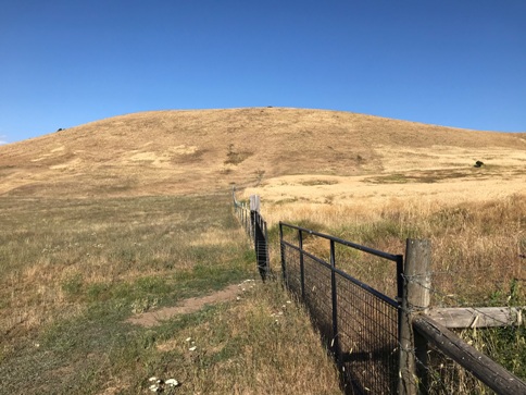
Once permission is obtained, you will be advised where to park on the ranch. From there, you can go directly up the hillside or walk a grassy road.
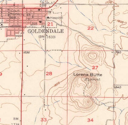
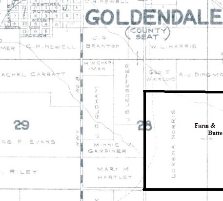
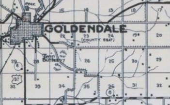
I came across this while doing a newspaper search online for lookouts in Washington. This is the Lynden Tribune, August 16, 1917. Lorena Butte was also known as Twin Buttes as shown on the Metsker map below from 1950. Now we know that Lorena Butte was used 20 years prior to when we first thought.
The area of the Lefever Holbrook Ranch, which includes Lorena Butte was once owned by Lorena Norris as shown on this 1934 Metsker Map. Her obituary in 1958 says she took an active interest in the improvement of education and agriculture in the Goldendale community. She was one of the first to grow dry-land alfalfa in Klickitat Valley on her farm at the foot of Lorena Butte, which is named in her honor.
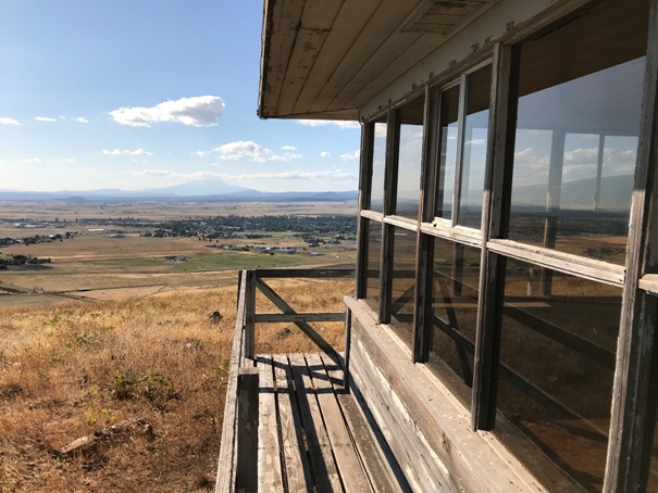
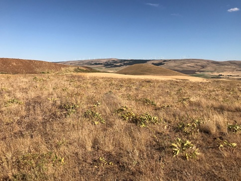
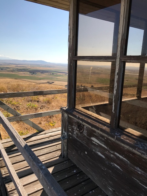
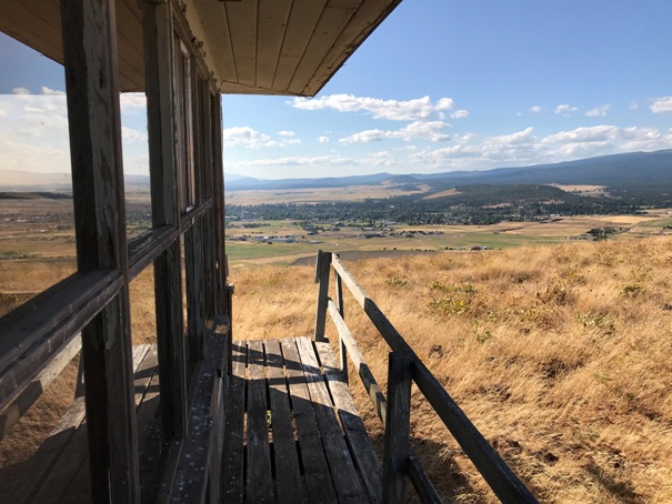
View to Indian Rock, the Klickitat County Highpoint
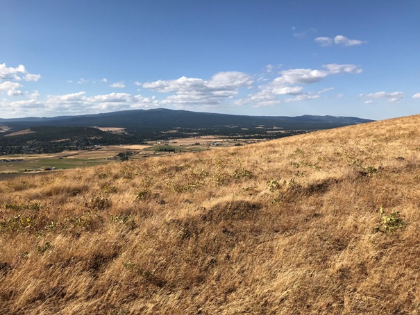
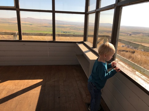
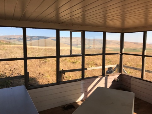

Northwest
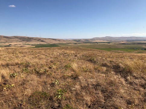
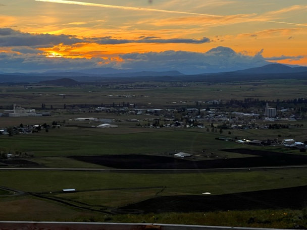
Looking west with Mt. Adams in the distance
Lookout moved down from the summit up there
Looking East with a wind farm on the horizon
Looking SE
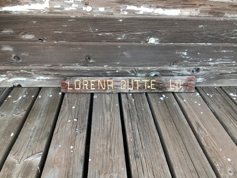
Lorena Butte L.O. sign
Route taken up to the lookout
Looking south
Lorena Butte Lookout before rental upgrades
Late 1950s
If it isn't clear to you, this is private property with a security guard and permission is a must.
Lorena Butte from the private gate off Highway 97
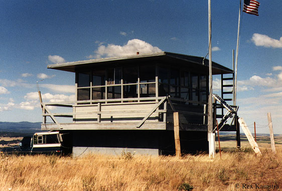
Before the move, photo by Rex Kamstra
Before the move, photo from Presby Museum and Klickitat Co. Historical Society
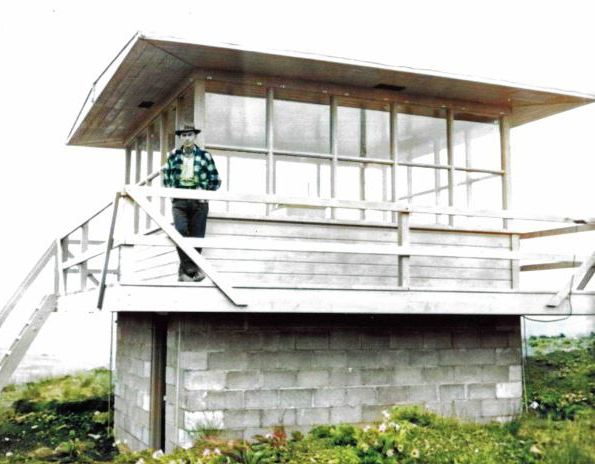
1954, Oscar Mullins, Warden in charge of the Glenwood District. Picture is from the west side, looking east, at the original location of the building, elevation 2,291 feet at the time, but now mined away to about 2,000 feet.
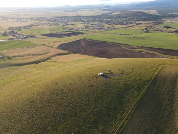
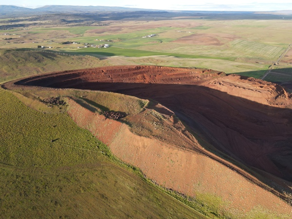
The mine from a drone above the lookout site
The lookout from a drone
1950 Metsker shows them as Twin Buttes
New deck added
Making smores
Picnic area
Sunset and Mt. Adams
New parking area and deck for guests at the rental
Lorena Butte Lookout before rental upgrades


