
Keller Ridge - Unknown Site
WillhiteWeb.com
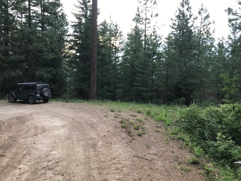
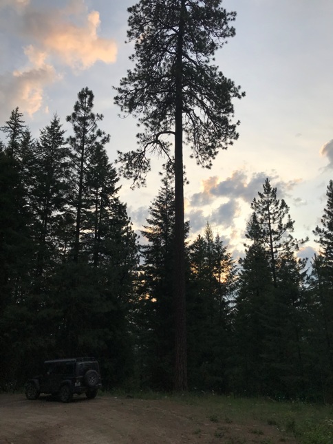
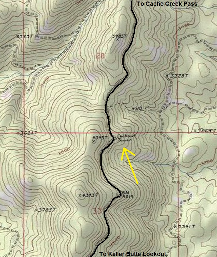
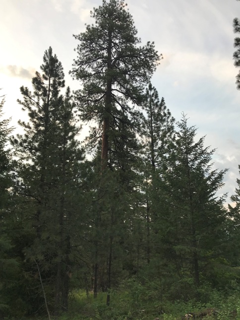
I have no information about this spot other than current USGS maps place the words Lookout Tower at the location. The bend in the road is wide and there is plenty of room to have been a tower, including just below the road. Itís also noteworthy that there are several trees here that are very old and tall. I was looking up several for possible crows nests. Hopefully more information can be found in the future explain this label on the map.
Access:
Leave the paved Cache Creek Road at the pass (Cache Creek Pass) and follow the ridge road south to the location. This ridge road is in pretty good shape although subject to logging operations closures and road damage.
Elevation 3,840 feet
Hiking Distance: Drive-to
Easiest access is from the north
On USGS map as Lookout Tower
Tall Pine Trees
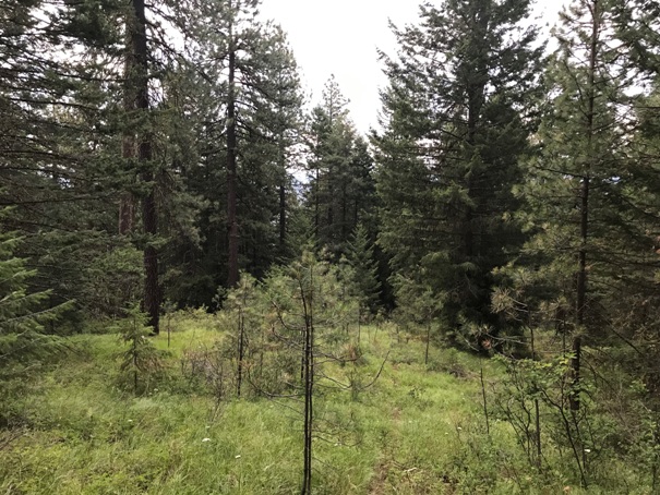
Just down from the road is an open area on the little ridge that drops
Wide pull-out area along the roadway


