
Johnny George Lookout
WillhiteWeb.com
Elevation: 4,090 feet
Hiking Distance: Drive-up
Access: Most vehicles if dry conditions
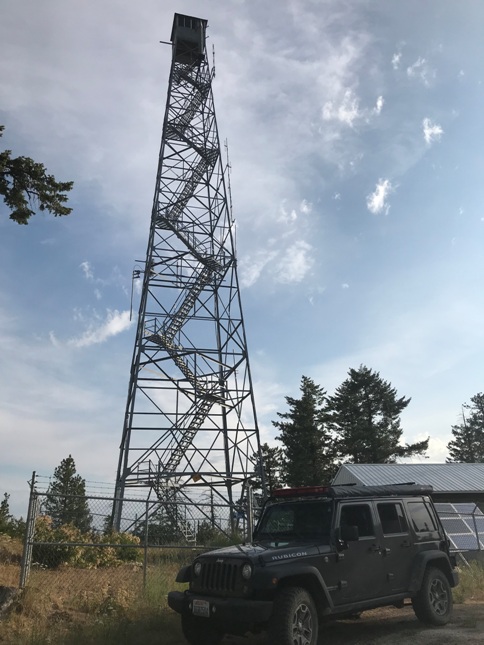
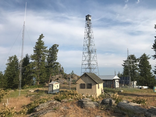
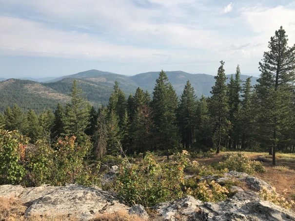
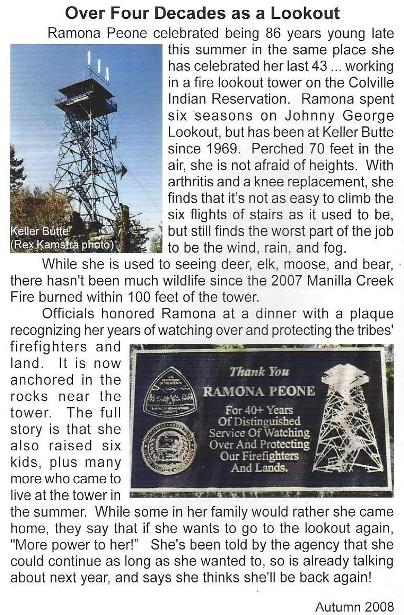
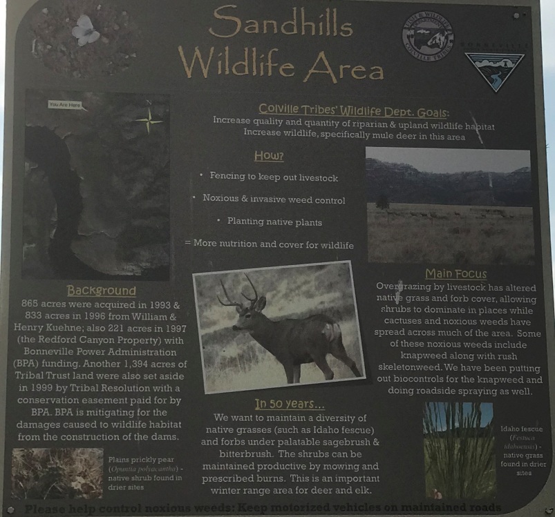
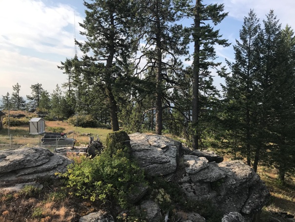
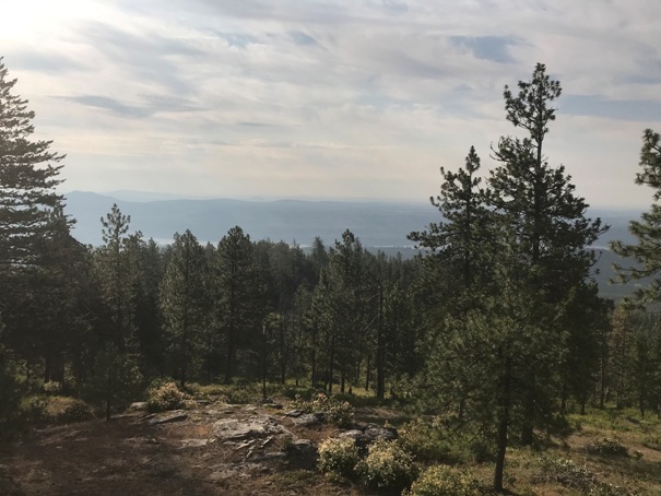
Although you can drive to it, the area around Johnny George feels as remote as any backcountry in Washington. Much of the access route is within the Sand Hills Wildlife Area, with signs along the way explaining the habitat. The summit offers some views between the trees. Unfortunately, views from the tower are not possible as it is behind a locked fence. The 100 foot steel Aermotor tower was built in 1938 by the CCC. The tower is the only one ever on the site, and is staffed sporadically.
News tidbits found by Ron Kemnow:
July 22, 1937: “The Colville reservation is to have a 120-foot steel lookout tower erected this fall on Moses mountain and a 110-foot steel lookout tower will be built also this fall at George mountain.” (The Wenatchee Daily World)
July 17, 1943: “Many teachers are employed this summer as fire lookouts in the Colville national forest, according to Chief Ranger Mel Robertson of Nespelem. Mr. and Mrs. Walter Peterson, Malott, on Johnny George lookout.” (The Colville Examiner)
November 7, 1960: "This is a 110-foot steel tower with steel shelter on top and was built in 1938 by the CCC. Living quarters is a 20 ft. x 15 ft. Quonset hut in fair to poor condition. This lookout is 60 miles from the Agency and 3 miles from intersection with the Hellgate Mill road. The access road is in fair to good condition. Radio reception is good. Water is 1.5 miles distant. Wood for fuel is in good supply. The site is a flat area 70 feet x 70 feet, earth with loose rock. The tower and lookout shelter are in good condition generally. The windows should be replaced with vertically pivoted sash with tinted panes for maximum visibility. Replacement of worn wooden stair treads is needed. The dwelling cabin has outlived its usefulness and can no longer be considered fit for occupancy. It should be replaced as soon as possible." (Inspection Report)
Access:
Surprisingly, in 2019, the route was signed the whole way, at each of the 3 major intersections. Given how remote this area is, any vehicle could make it there (as long as the roads are dry). There is a small section of softer sandy dirt that would be mud in a heavy rain.
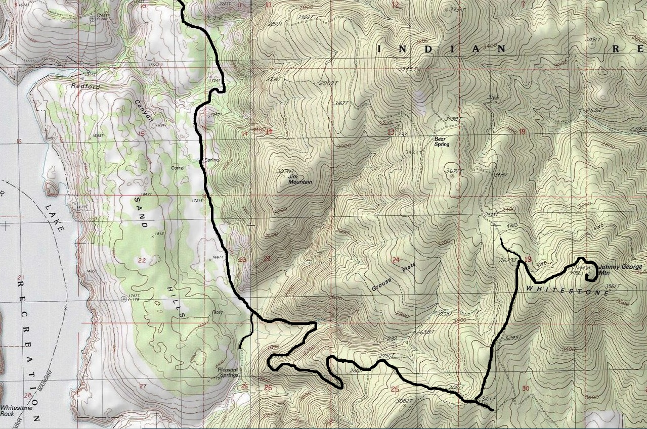
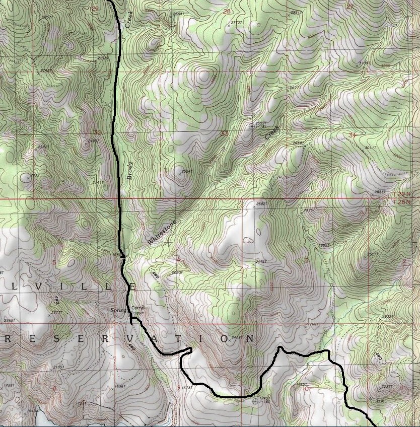
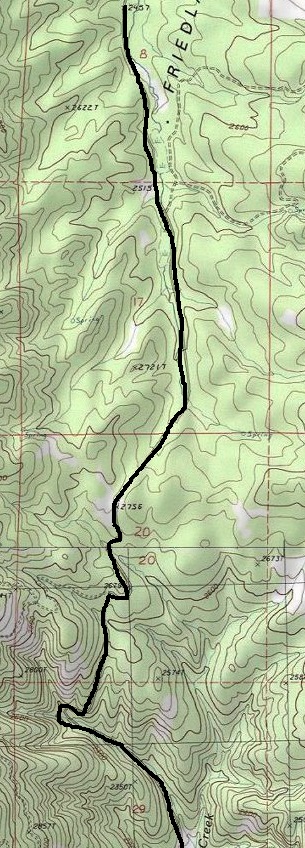
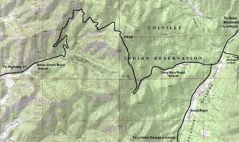
From the Keller Ferry, go north to Keller. Just north of town, take the Silver Creek Road (very nice gravel road) over the pass and down to Frelander Meadows. At a major intersection, signs point right for Johnny George Lookout. Follow this nice forest road south almost to the Columbia River, then east along the river. Stay on the main road until a final major Y (signed) where you go left up to the lookout. You almost can't go wrong. I went back this same way because I thought the full loop did have a washout on the East side of the mountain.
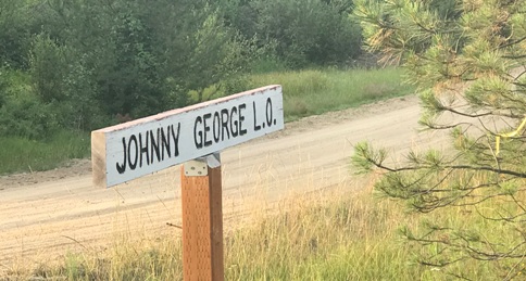
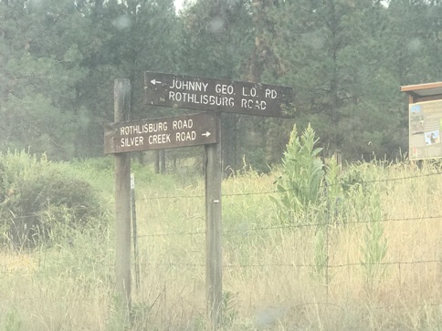
Sign off the Silver Creek Road
Signs near the Columbia River turn-off
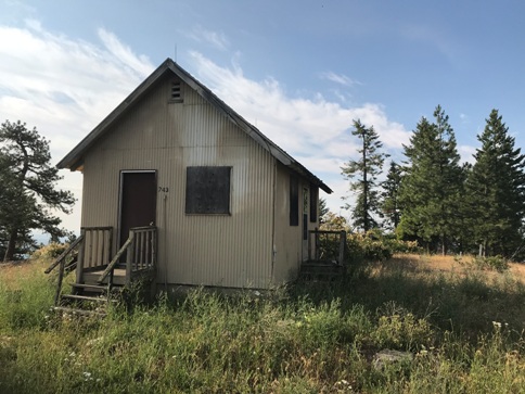
Johnny George Lookout
Johnny George Lookout
Views Northeast
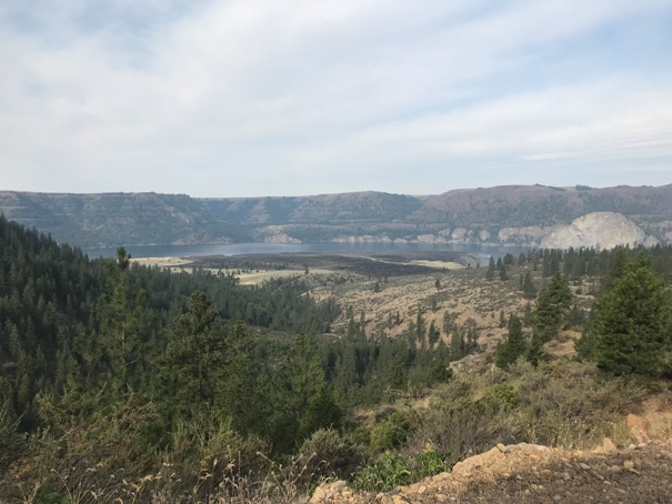
View of the Columbia River on the way up
Views from the summit of the Columbia River
Summit rocks
Access from the Silver Creek Road
Below: signs that are along the route describing the Sandhills Wildlife Area


