

Jackknife Mountain Lookout Site
Lookout Elevation: 5,080 feet
Hiking Distance: Have not done yet
Elevation Gain: Have not done yet
County: Ferry
WillhiteWeb.com: Fire Lookouts
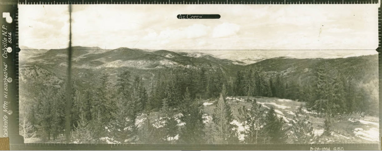
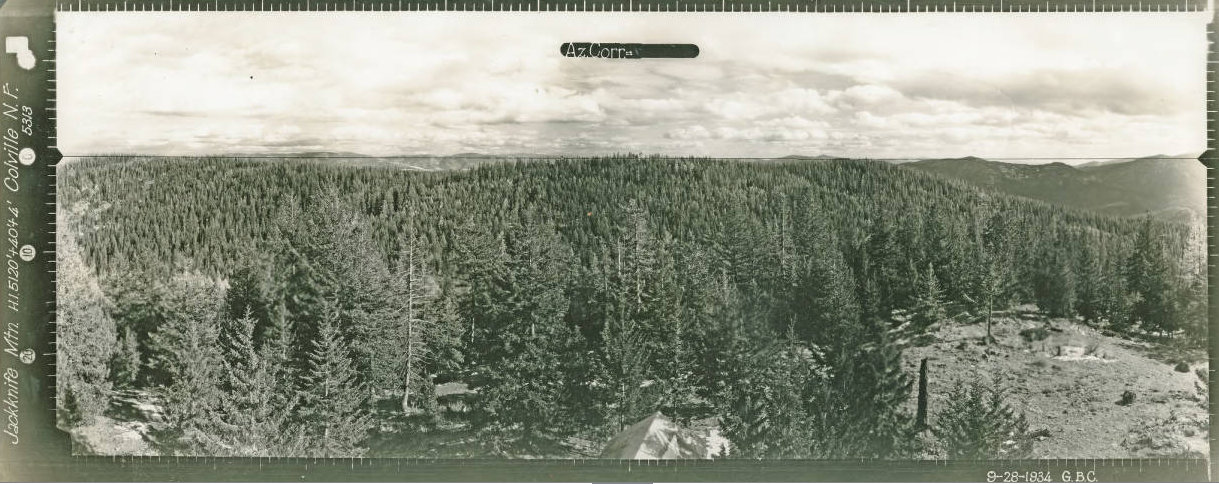
Looking North 1934
Looking Southeast 1934
Looking Southwest 1934

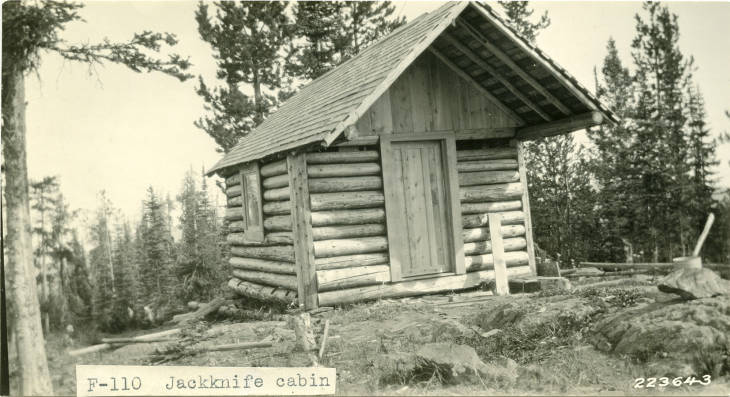
In 1923, during the fall, Ranger Foote constructed a cabin and a tower on Jack Knife Mountain. The tower was 50 feet high, had a 14-foot base and a 6-foot platform on top. The tower had 3 bents with double cross braces on each side of each bent, all braces were dapped into the corner posts and thoroughly nailed making the structure absolutely solid. All corners were guyed to large stumps, the guy lines were tightened by use of turnbuckles. There was absolutely no vibration to the tower. The only vibration a person might feel from the top would possibly be from his knees, Ranger Foote put up this tower and also a cabin for a cost of $350.00.
In 1927, a Mr. Hougland built an enclosure on the lookout tower during the fall.
In 1929, the lookout was Randolph Riley of Colorado Springs, Colorado.
In 1933, crews were finishing the Jackknife Trail from the south from Deadman Creek.
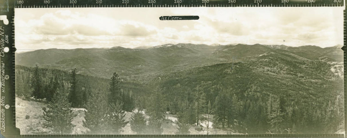
In 1934, panoramic photos were taken. There was some kind of ground structure below.
In 1939, concrete was poured for the foots of a round timber tower.
In 1940, a 45-foot wooden tower with L-4 cab was built.
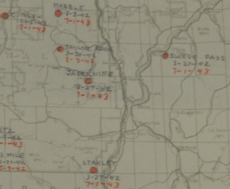
In 1942 the site was utilized by the AWS. Activated: August 27, 1942; Deactivated: July 1, 1943.
In 1944, the lookout was Miss Helen Gilbert. She got ill in August and was placed in the Mt. Carmel hospital in Colville. During her week in the hospital away from her lookout duties, Miss Ollie Mae Gilbert took over duties. She was visited during this entire week by Miss Beverly Nixon.
In 1945, the lookout was Beverly Nixon & Roberts Reed.
In 1948, the lookout was Betty & Donald Frances.
In 1952, the tower was removed.


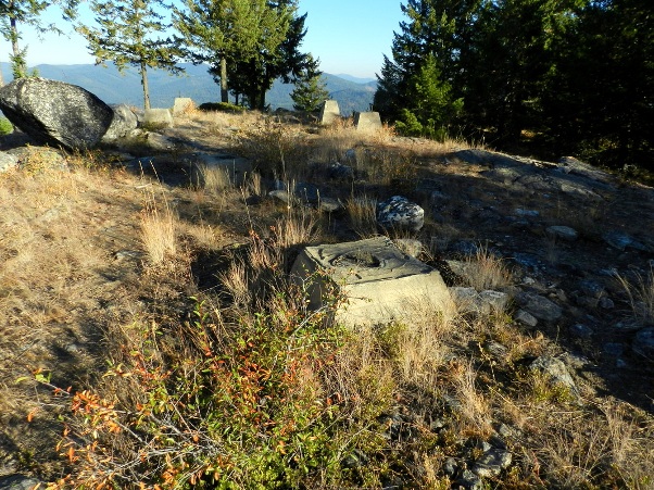


Ron Kemnow photo
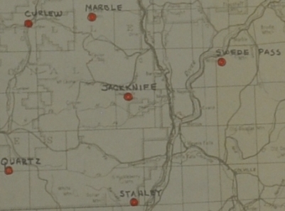
AWS map with dates
AWS map
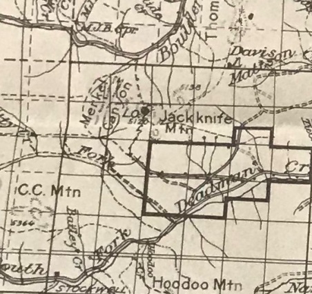
1936 Kettle Falls forest service map
March 31, 1942 access at this time
Jacknife phone connection during AWS
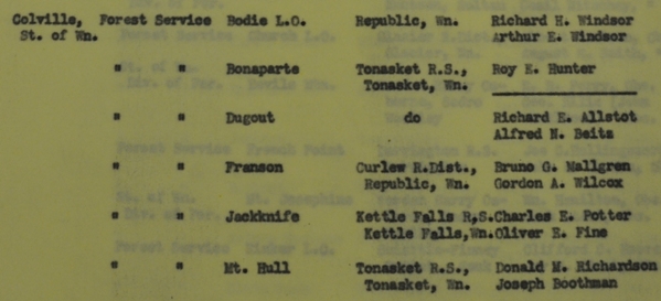
April 8, 1942 observers during AWS
AWS Jackknife Post
What to do with after the war, on National Forest Land, existing station, reconditioned, to retain for the Forest Service. Sleeping quarters was added with AWS funds.
