

Franson Peak Lookout Site
Elevation: 3,786 feet
Hiking Distance: Drive-up
Access: High Clearance best for upper portion
WillhiteWeb.com: Fire Lookouts
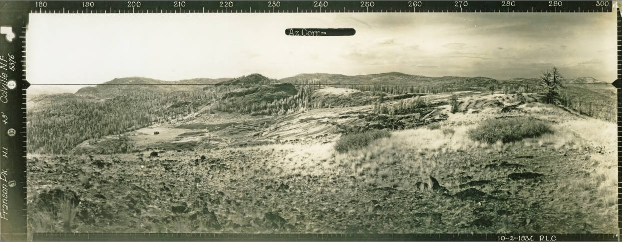
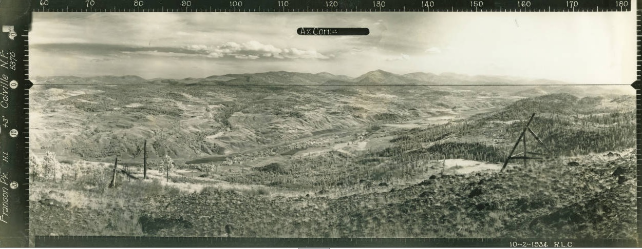
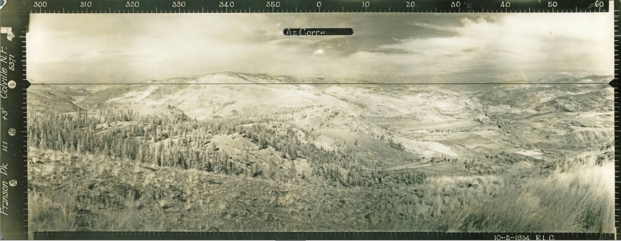
Looking North 1934
Looking Southeast 1934
Looking Southwest 1934
1934

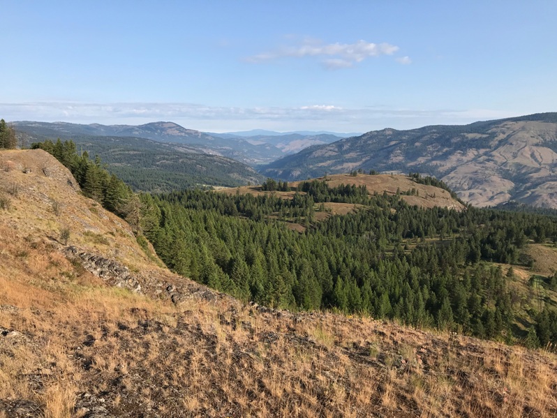
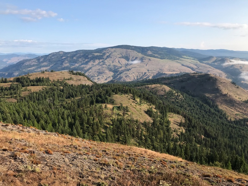
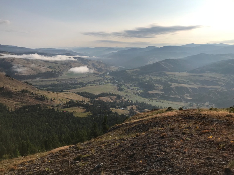
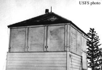
Franson Peak is a low elevation lookout built over the town and valley of Curlew. In 1934, an L-5 cab was built.
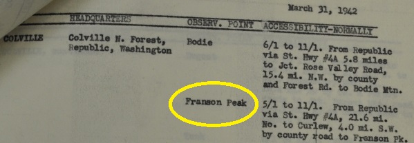
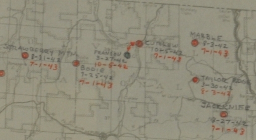
From March 27, 1942 to October 5th, Franson was used by the AWS for plane spotting. The AWS station was moved down for the winter to Curlew through the winter and into the summer, until discontinued on July 1, 1943.
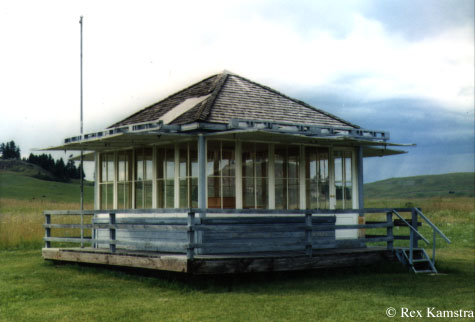
In the 1950s, a 15 foot timber tower was built with an L-4 cab. This cab is now at the Molson Museum.
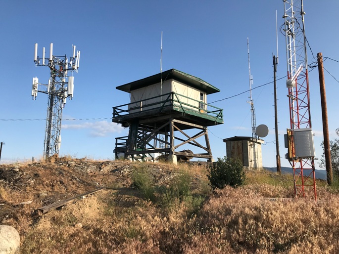
In 1986, a 15 foot tower with live-in cab was built. It was last staffed by the DNR in 1995.
October 7, 1944: “Due to manpower shortage, women played a larger part than ever before. Fire lookout points were manned by women. Miss Alevida Webb of Ellensburg on Franson peak near Curlew." (The Colville Examiner)
Access:
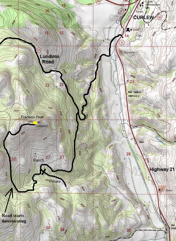
Just before reaching Curlew, turn left on Lundimo Meadows Road. This nice gravel road will take you up to the left turn for the Franson Road. Follow Franson Road up, passing a few ranches along the way. At a prominent Y intersection, go right uphill. Follow this road to the summit.


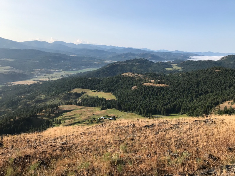
Franson Peak

Franson Peak Lookout in 2019
Looking Northwest
Looking Northeast
Looking North
Looking South
Looking West
AWS map showing Franson dates and the move down to Curlew dates
At the Molson Museum
AWS observers in 1942
Access in 1942
Listed as a summer AWS post
Access map


