

Dugout Mountain Lookout Site
Future visit to come.....
Elevation 5,364 feet
County: Okanogan
WillhiteWeb.com

In 1930, an L-4 cab was built.
The Republic News-Miner on September 26, 1930 said: “L. L. Hougland, assistant Supervisor, with another crew, has been on Dugout mountain south of Aeneas where they have been building a lookout which will serve the south half, an area hitherto invisible and where will be stationed a lookout fireman who will be provided with horses for emergencies.” & “Ranger Buckley has a crew engaged in building a telephone line connecting Aeneas mountain with Dugout mountain.”
On September 15, 1934, panorama photos taken.
In 1936, the USGS placed a benchmark here, calling it a high wooded peak with a lookout.
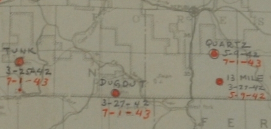
On March 27, 1942 the site was used daily by the Aircraft Warning Service during WWII until July 1, 1943.
In 1953 the lookout was abandoned
In 1956 the USGS visited their benchmark and said the lookout tower and house had been completely removed.


Looking North 1934
Looking Southeast 1934
Looking Southwest 1934
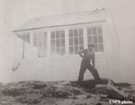
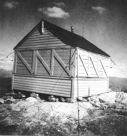

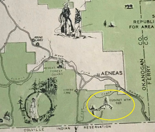


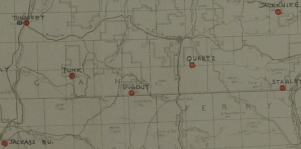
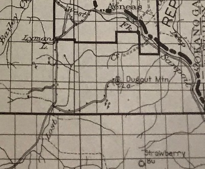
Dugout Mountain Lookout
Dugout Mountain Lookout
1935 Cariboo recreation area map
1936 Tonasket map

AWS observers in 1942 were Richard E. Allstot and Alfred N. Beitz
AWS accessibility report in 1942
AWS maps
Dugout was in Colville National Forest on National Forest Land, an existing station, retain for the forest service, sleeping quarters added with AWS funds.
Recreation Guide when the lookout was still standing.


