

Copper Butte Lookout Site
Lookout Elevation: 7,135 feet
Hiking Distance: Have not visited.
Elevation Gain: Have not visited.
County: Ferry
WillhiteWeb.com: Fire Lookouts


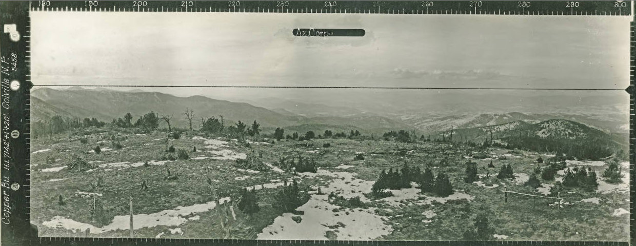
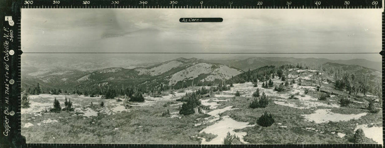
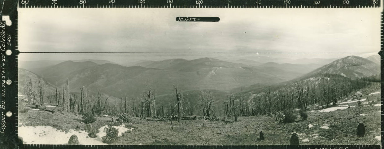
Looking North 1934
Looking Southeast 1934
Looking Southwest 1934
Copper Butte is the highest point in both Ferry County and the Kettle Range.
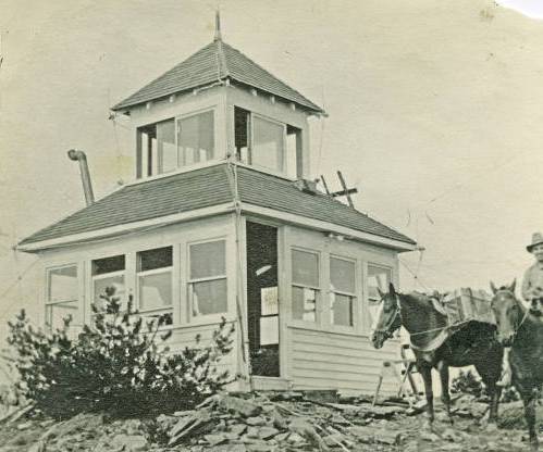
In 1921, a cupola cabin was built. The Spokesman-Review reported on the event in July saying “Supervisor Pagter of the Colville national forest reports that construction has begun on the Copper butte lookout tower. This butte is the highest in the Kettle river range on the north half of the reservation and commands a fine view of the surrounding country. It will be necessary to use pack horses to get the material to the top of the mountain and the rangers have a hard task ahead of them. A telephone line to this point is also under construction and five men under Ranger Wheeler have the line about half completed. The wires will follow the summit from Lookout mountain, where a lookout station is established, to Copper butte. The forest service is already constructing a trail from Profanity peak south and it is planned to have a complete summit trail from the Canadian boundary on the north to the south half of the reservation. This will be a big factor in fire detection, as rangers will use this trail in their patrol and, with a telephone line near the trail, fires can be immediately reported to the district rangers. The use of this trail in connection with the lookout point will increase control of fires in this forest by at least 50 per cent."
The Republic News-Miner reported, “Ranger Wheeler and five men are constructing telephone line from Lookout Mountain to Copper Butte, which will be a lookout point for the summer. It is the plan to have a summit trail from the Canadian boundary south to the South Half line and a telephone line paralleling it all the way. This trail will be used by the Forest Service in Fire Protection as it will reach all the high points of the Kettle Range of mountains which command views of the surrounding country. The Lookout tower for the Copper Butte is now being cut by Ranger Hougland and Guard Treavitt. When it is cut it will be packed in by horses to Copper Butte, the highest point in Kettle Range, at which time construction will start.”
By the middle of August 1921, Willard Zwang was helping Mr. Doner build the lookout station at Copper Butte.
In 1925, the USGS mentioned a lookout house on the summit as a 12 by 12 square surmounted by a cupola 6 feet square on the summit of the peak. They also give the bearings of some guy wires and building corners.
In 1934, the USGS returned and mentioned that the Forest Service lookout building saying that the benchmark station is 16 feet NE of the lookout building.
In the 1950s, the cupola was removed.
In 1994, a fire burned nearly 11,000 acres of forest surrounding Copper Butte.


