


Buckhorn Mountain Lookout Site
Elevation: 5,602 feet
Hiking Distance: Mile or less
Elevation Gain: 800 feet
County: Okanogan
WillhiteWeb.com: Fire Lookouts
Looking North 1934
Looking Southeast 1934
Looking Southwest 1934
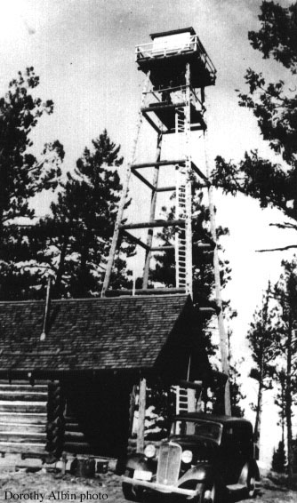

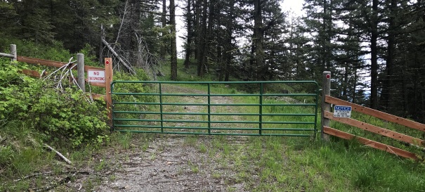
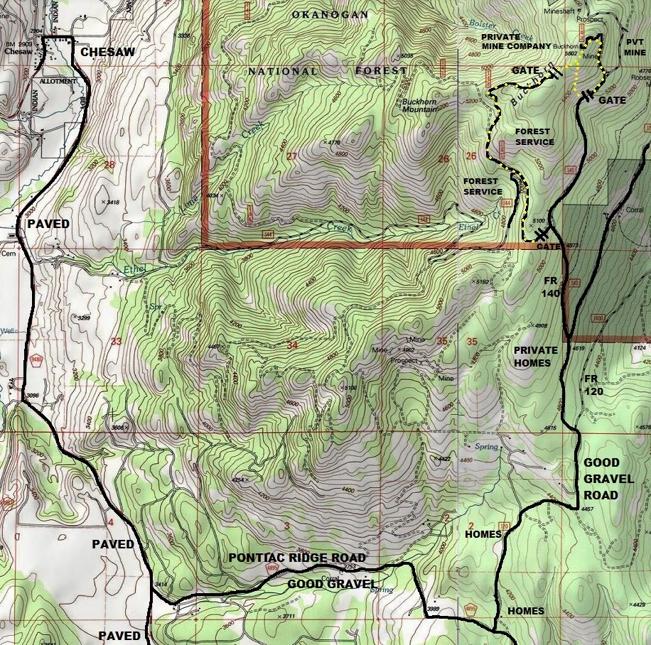
Reaching the summit is easy but has an issue. The summit is owned by a mining company who has placed gates and signs saying no trespassing. The entire north side of the mountain is a surface mine. The summit is just spared. With new towers being built on the summit, the highpoint seems to be safe from destruction. The access on Forest Service land on the south side gets one to within a quarter mile of the top. The main gate on the east side closest to the summit is signed no trespassing but the main use of this minor road is for the communication structures. Mining activities use other road systems. Still, with mining equipment, and the mine being very controversial, your presence may not be welcome not knowing your intentions, hence the no trespass signs now installed.
A more stealth route is to park at the Forest Service gate around a half mile back from the closer gate. This road traverses to the west side of the peak and up abandoned roads to near the summit on the west side. The property line is once again reached (and signed no trespassing) but traveling on the ridge in the forest to the summit, you would unlikely be noticed by anyone.
About 4 miles from the Canadian Border, Buckhorn is a large mountain with 2,202 feet of prominence. There is public land near the top sandwiched between a strip mine to the north and private homes to the south. Only route below should be used.
On August 2, 1929 a Mr. Mitchell called up the Colville District and reported a storm over the Chelan traveling north. Immediately the emergency plan was thrown into action and emergency men sent out from all districts. About 4 p.m. the storm hit the Colville and started some 40 fires. One bolt of lightning started a fire within 200 yards of Frank Woodruff, the emergency man sent on top of Buckhorn Mountain. It was immediately put out by him. (Six Twenty-Six)
On May 27, 1932, the Republic News-Miner reported a reconstruction job hadmade a road available to the top of Buckhorn Mountain where a lookout would be placed that coming summer.
On July 8, 1932, the Republic News-Miner reported: that Assistant Supervisor Hougland left Wednesday for Buckhorn Mountain, where he will be met by Ranger Taylor of Tonasket. It is planned to make a study of Buckhorn Mt., to determine height of tower, location and other important data necessary for the construction of the new lookout building. He also plans to visit Bonaparte lookout on the trip.
On July 22, 1932, the newspaper reported that work would begin on the Buckhorn Lookout soon and that it would be a 70 foot tower.
In 1933 the tower was built with an L-6 cab. The tower only had a ladder access, no stairs.
In 1934, panoramic photos were taken at 70 feet plus 5 feet.
In 1957 the USGS placed a benchmark in a boulder under the center of the lookout tower.
In 1958 the tower was removed.
Access and Route:
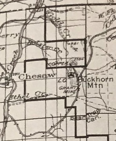
1936 map of area
Access from Chesaw
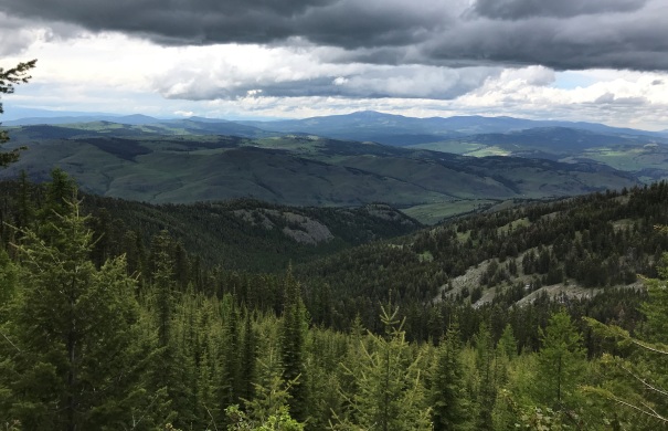
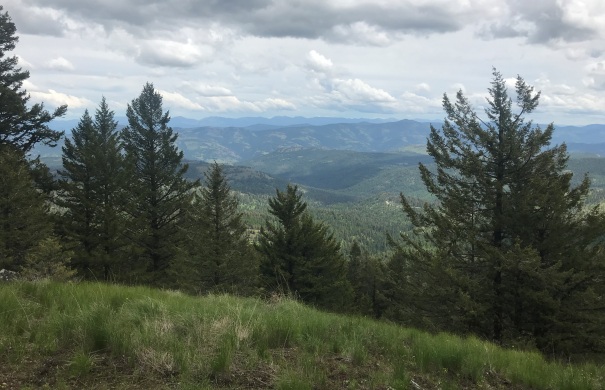
View south from near the summit
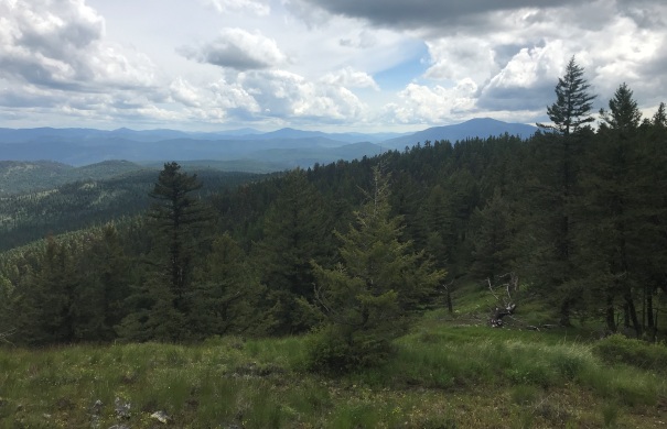
View east from near the summit
View to the west in route to the summit
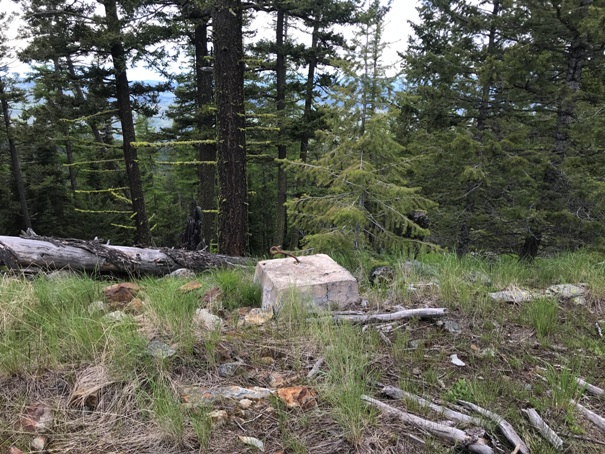
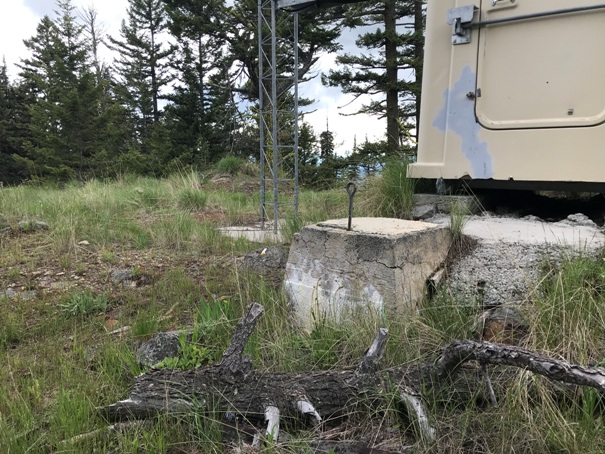
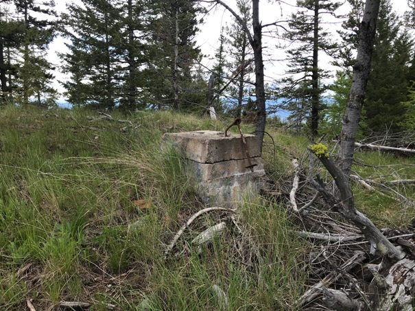
Footing
Footing
Footing
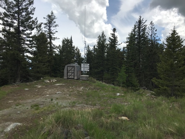
Buckhorn Mountain Lookout
Gate near summit on East side at end of Forest Service road.
Summit view north
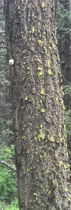
A few phone insulators are still on the trees on the Forest Service approach road
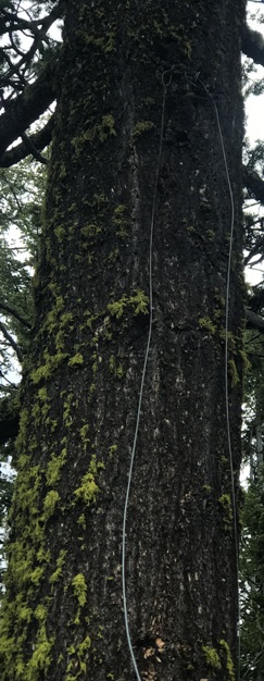
Phone line on a tree at the summit


