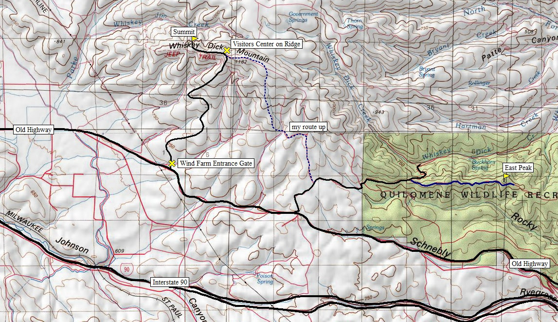
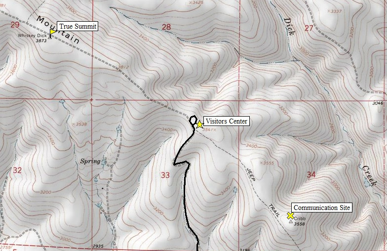
Whiskey Dick Mountain is the highest point in a large area of land east of Ellensburg and north of Interstate 90 as it drops from Ellensburg to Vantage. There is a somewhat popular hike here described in a few books. Almost all reports are wrong about the location of the true summit. Most people visit the eastern summit. Others go to the communication sites, but the true summit is west of that. The highest point is on the Wild Horse Wind Farm. I made it to the com sites without being spotted but traversing the ridge west, I had to pass many construction workers and PSE employees along the mainline road and visitors center. They called security on me. The real story is that security did not have time to react so they sent someone else with a radio to intercept me and order me down. The guys that approached me were from a wildlife consulting firm counting bird losses from the wind project. They were nice but security was on the radio and they were not taking my trespass lightly. They would not let me walk the last 2 minutes to the summit. I was asked to bike down the main road (or be driven) and check in with security. I had not come up the road I was told to go down but I had paid good attention to the topography on the way up and knew I could get down the mountain and just before reaching the security booth at the bottom, cut over to the abandoned road that I came in on. As I was traveling down the mountain, I was being slowly followed by a vehicle confirming I was headed down. I was able to do my escape route without being noticed, biked about 10 minutes as fast as I could off the property, tossed the bike in the truck and got the heck out of there. The good news is that they have a new paved road and visitors center just below the true summit. The public tours there I believe are by reservation only but it might be possible to just ask permission. The farm website now says certain access is allowed for hunting and other activities, you just need a permit. Or, just stick with the eastern summit which has good views and flower displays in spring.
Puget Sound Energy Wild Horse Wind Farm
The visitors center was under construction at the time, just east of the true summit
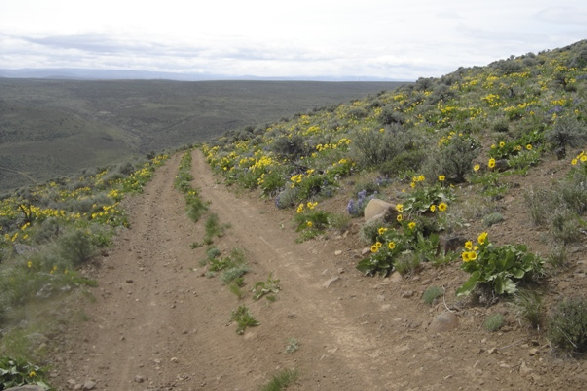
This is the flower display Whiskey Dick is known for. I did the eastern most peak before I went into the restricted zone.
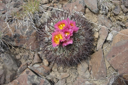
Hedgehog cactus is the only native cactus in Washington
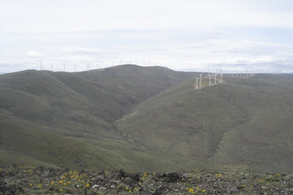
Wind farm from eastern summit of Whiskey Dick
These things were huge, 350 feet tall
In Colville, take State highway 20 east (3rd Avenuue) to Aladdin Road (before the airport). Turn north on Aladdin road and head for Leadpoint, 33 miles away. In Leadpoint, turn right onto the signed Silver Creek road , #4720 and it will soon turn into FS road 7078 at 1.5 miles. Soon after the
Whiskey Dick Mountain
Distance: 1-5 miles
Elevation Gain: 260 feet to 1,900 feet
Summit Elevation: 3,873 feet
Access: Any vehicle
WillhiteWeb.com

Access:
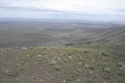
View south from the East summit
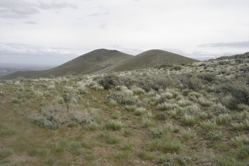
The east summit from the 4WD start point
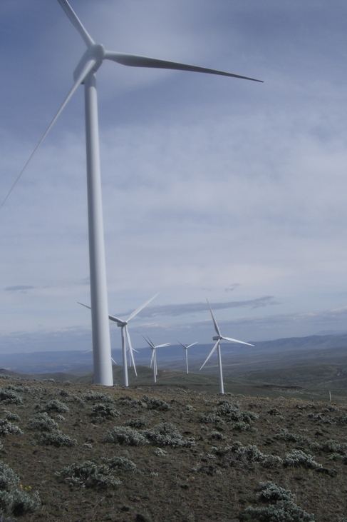
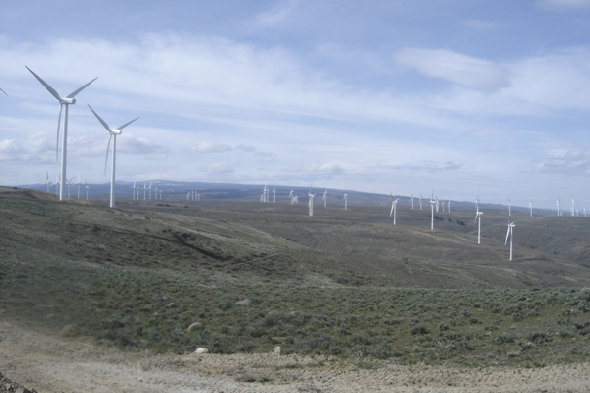
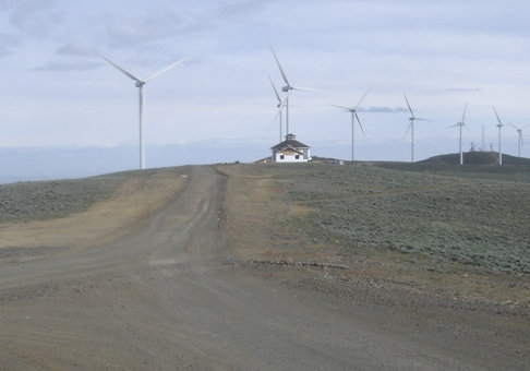
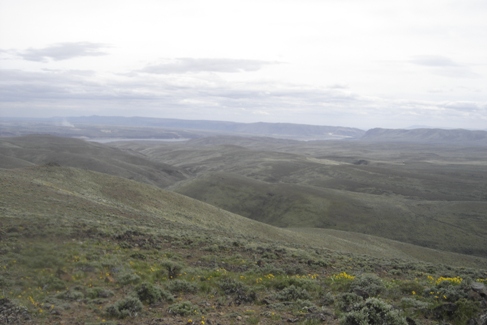
View east from the eastern summit to the Columbia River
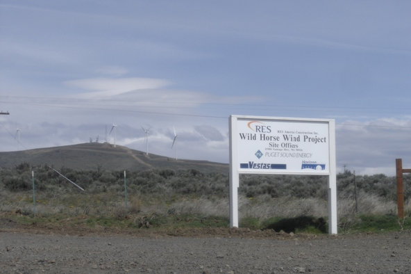
From the Vantage Highway, looking up to the communication towers on the Wind Farm
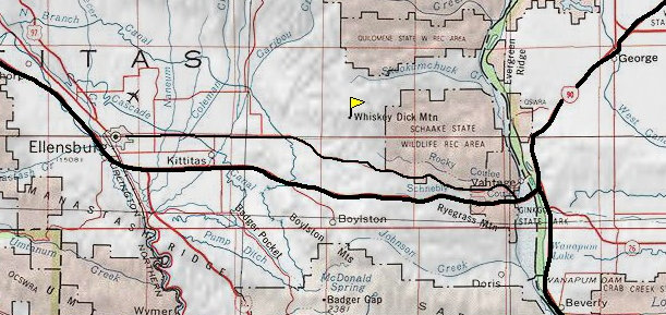
Map showing the location of Whiskey Dick Mountain
The east peak is in the Quilomene Wildlife Recreation Area
Map of the summit area


