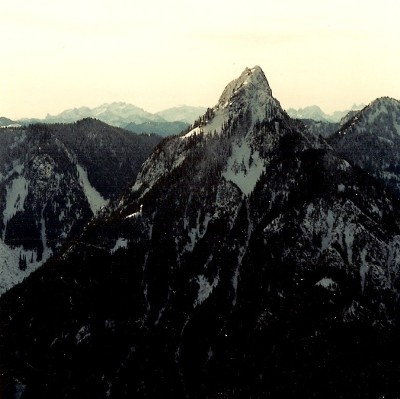
With a name like Troublesome, this mountain should attract many adventurous hikers and climbers. The trouble with Troublesome is the considerable ascent requiring some route finding skills and brush beating. The reward is a mountain top that oversees much of the Wild Sky Wilderness and the Monte Cristo Peaks.
Flood damage has closed the road in the vicinity of Troublesome Mountain. But, access is possible a short distance from the gate. At this time, follow these directions:
Drive US Highway 2 to just west of milepost 50 and turn north on Beckler Road (FS #65). Proceed north, going over Jacks Pass to the junction of FS #65 and FS #63. Go straight on FS #63 and continue 0.7 miles to the gate. Park here at Garland Mineral Springs, taking care to not block the flow of local residents permitted to enter the area. The general public can walk or bike the road beyond. The road is closed for seven miles from this point all the way to Index.
Once repairs are made on the Index-Galena Road (FS Road #63), the following access is faster and will also reach the base of Troublesome Peak. Take Highway 2 to Index. Go north on the Index-Galena road to reach the south slopes of Troublesome Mountain.
For current information on the road contact :
Skykomish Ranger District: (360) 677-2414
Troublesome Mountain & Double Toil Peak
Distance: 4 miles
Elevation Gain: 5,000 feet
Summit Elevations: 5,433 feet & 5,427 feet
Access: Paved
Washington Hiking & Climbing

Access:
Troublesome Traverse including Double Toil Peak:
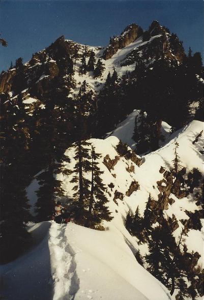
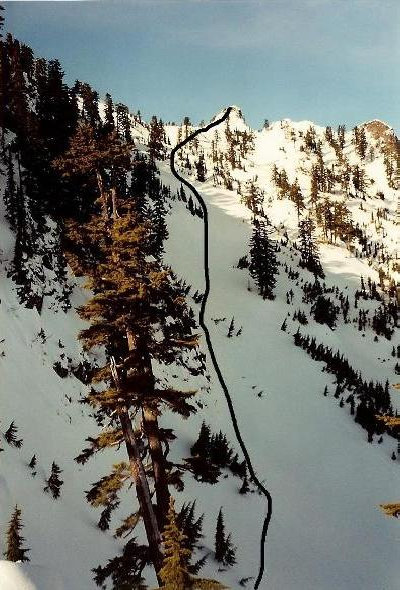
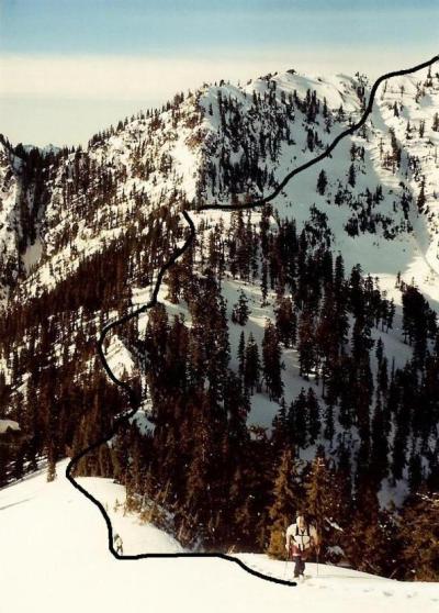
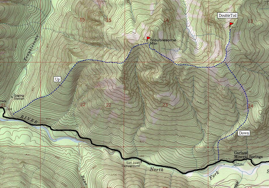
The starting point is just east of the Troublesome Creek Campground. The SE ridge of troublesome fans out there so park anywhere nearby and start climbing up into the woods. Surprisingly for this region, the low elevation brush isn't bad at all, thanks to a dense forest canopy. The ridge doesn't get very defined until about 3,300 at which point the ridge is about to turn due east. The first views open at this point but only to the rocky false west summit of Troublesome Mountain. Continue climbing, now on a west running ridgeline. Slopes get much steeper but are still forested. Around 4,700 feet you'll be forced to turn northeast now as you hit a mega drop-off into a drainage. Northeast will take you toward the false summit but you skirt the eastern side to reach the final 400 feet of climbing to the summit. Going west again, the climb to the summit is straightforward, just have crampons and snowshoes if in winter. The snow conditions could vary greatly with all the different directions the ridges face.
From the summit, you can see the entire ridgeline to Double Toil but a section of rocky outcrops looks like an impasse. To avoid them, you can easy traverse below on the northeastern side. Once the ridge is regained, the route to the summit of Double Toil Peak is a nice walk/snowshoe.
To decend back down to the Garland Mineral Springs area, you'll want to study the map, have an altimeter, and a compass in hand. If you use GPS, some pre-programmed waypoints would be helpful. I say this because we dropped down the only way we thought existed and it was steep and well hidden. There were a few times we cliffed out and had to traverse left or right. Although the contours look to provide some fairly easy terrain, we just didn't see it. Nothing required ropes but there were a few brush repels here and there. Still, there could have been another way, we just didn't see it. Looking at the topo map, a less direct decent, going more to the east from 4200 feet, then west at 3600 might have been better although not obvious while there.
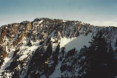
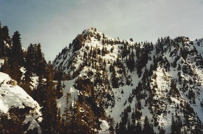
Western false summit from 3,500 feet
Final 400 feet from the 4800 foot ridge
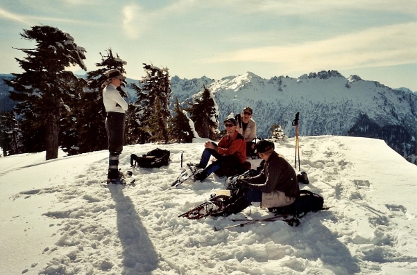
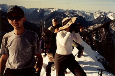
Crowd of 6 on Troublesome
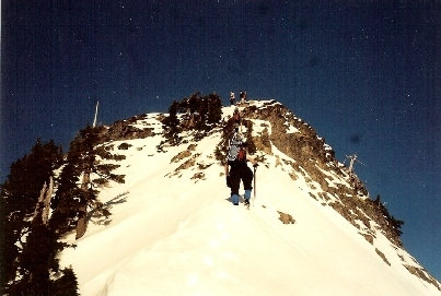
Arrival on the summit
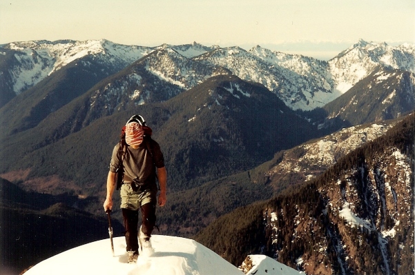
Final few feet to Troublesome Mountain summit
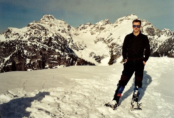
Enjoying the summit of Double Toil Peak
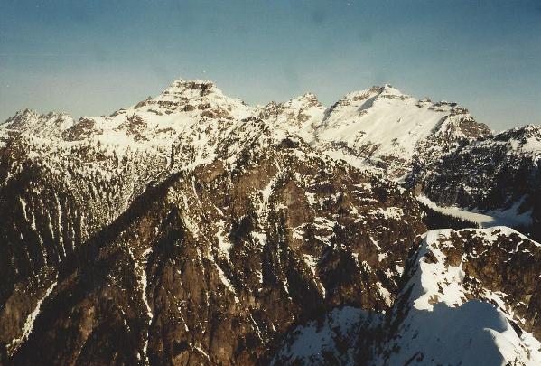
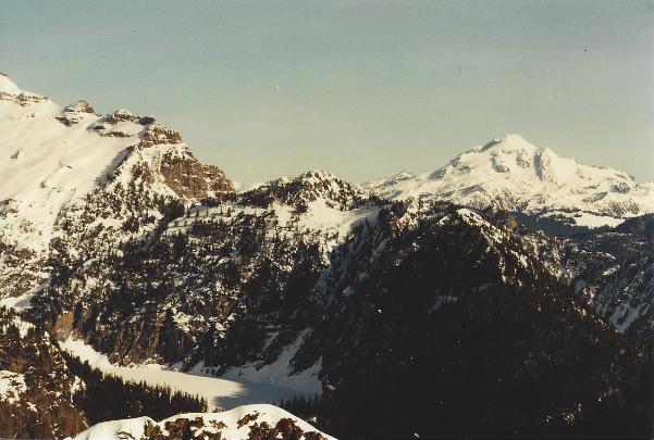
Views of Columbia Peak, Columbia Glacier & Kyes Peak
Climbing ridge to Double Toil, looking at route from Troublesome
Traverse below Troublesome to saddle for Double Toil
Double Toil Peak while in traverse from Troublesome Mountain
Columbia & Kyes Peaks
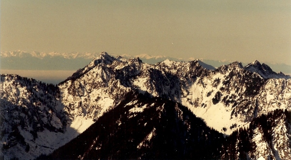
Mount Stickney & Olympic Mountains
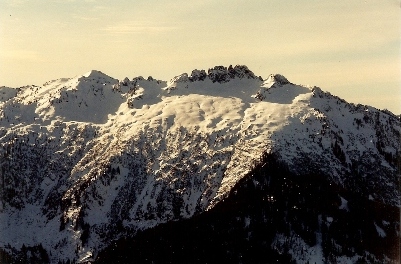
Northeast Face of Troublesome Mountain
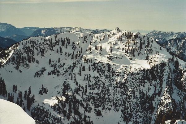
SW to Spire Mountain
Glacier Peak
Bear Mountain
