www.willhiteweb.com - Hiking, Climbing and Travel
This mountain has no name but the three given above have been used before. It is not a very exciting peak but it is noticeable while driving highway 410 to Mt. Rainier. Fire and logging haven't been very good to it but this gives way to some great views.
"Mountain of Snags" "Sun Top Quad 2" "Peak 4973"
Distance: 1 mile or less
Elevation Gain: 400 feet
Summit Elevation: 4,973 feet
Access: Gravel Roads
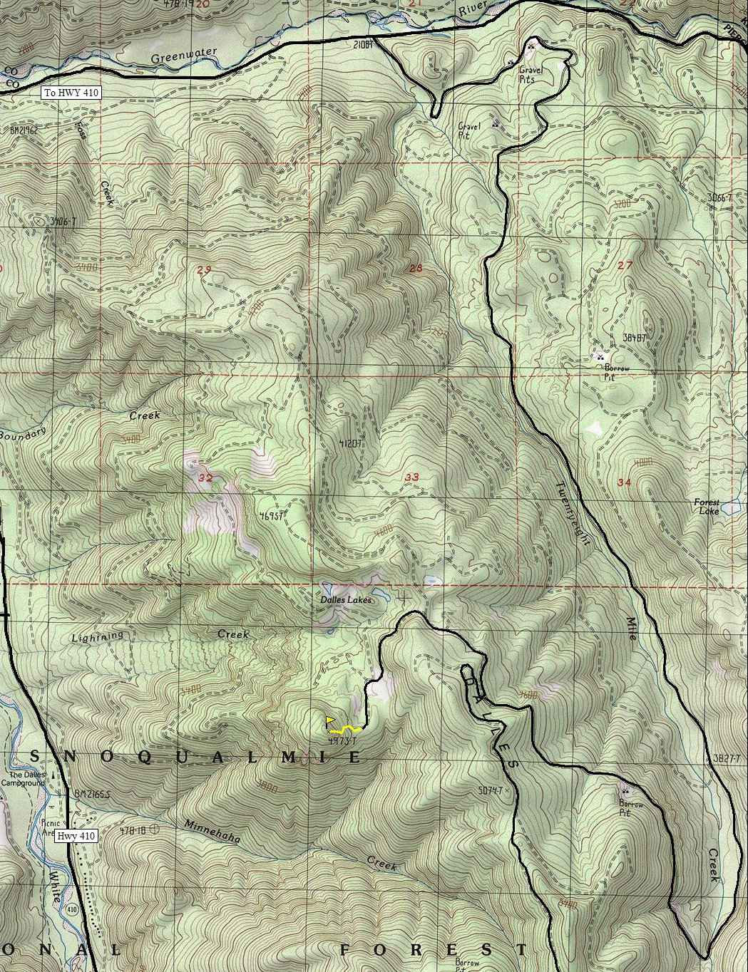
Take State Route 410 past Greenwater 1.8 to a left onto paved Forest Service Road No. 70. Follow it 5.7 miles to gravel Forest Service Road No. 72. Follow the map below but roads do change a lot in these parts.
Access:
Drive as far as you can before the road has been abandoned. I don't show it on the map since I don't know where that is anymore. Walk the old road to the east side and base of the peak. Scramble up the peak.
Route:
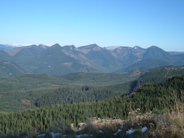
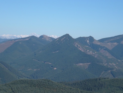
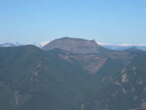
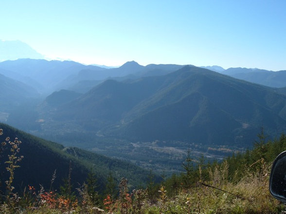
View north to Kelly Butte
Looking down on the White River Valley
Colquhoun Peak and Pechugh Peak
Colquhoun Peak, Pechugh Peak and Pyramid Peak
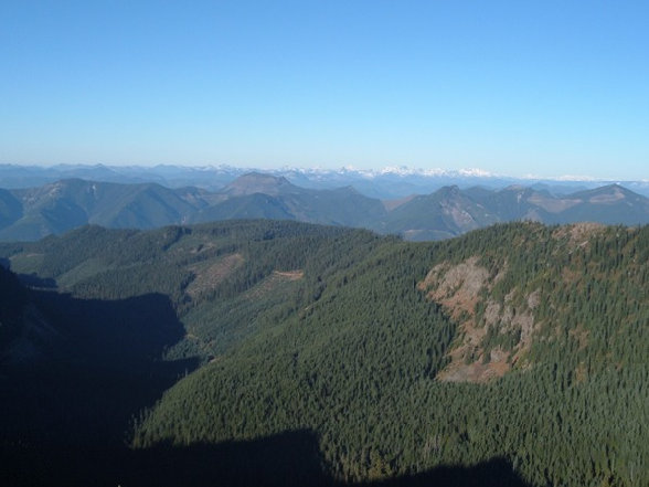
Alpine Lakes Wilderness in distance with the snow
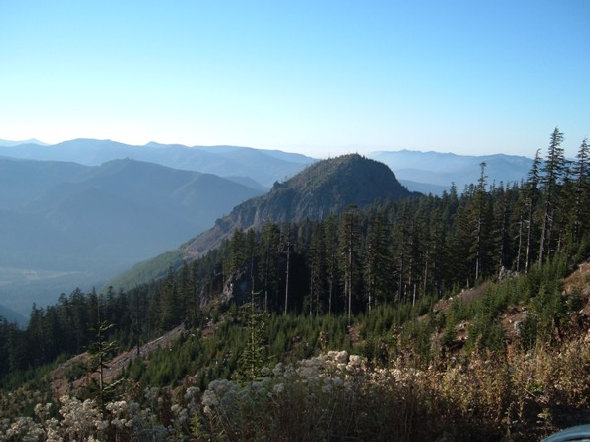
View of the mountain while driving to it
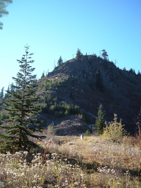
At the base at the end of the old road
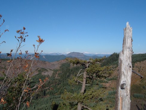
Views NE from the road
FS 70
FS 72


