
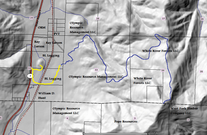
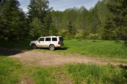
As of 2012, this access was not posted with any signs or gates, it was just a road into the woods. From Elbe, take highway 7 south. From the Mineral Road North, it is 4.6 miles further. The large pull off on the left immediately forks into two roads. Follow the right/south one that parallels highway 7. Follow it for 0.8 miles the end, at a impromptu campsite. The road is overgrowing, crosses a apprehensive bridge as well as some railroad tracks. You can always just park at the highway and walk.
WillhiteWeb.com - Washington Hikes & Climbs
Storm King Mountain
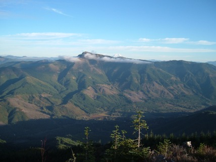
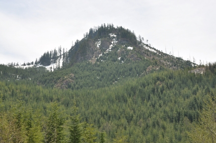
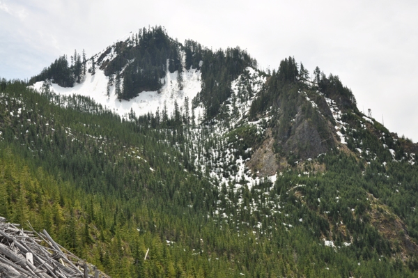
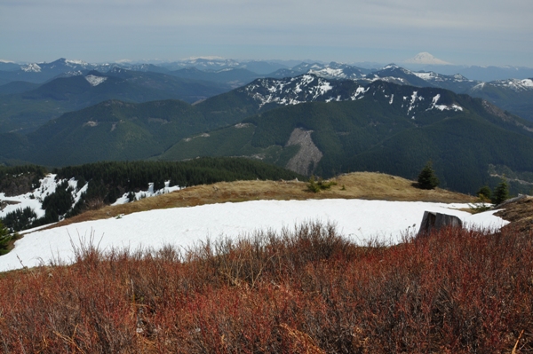
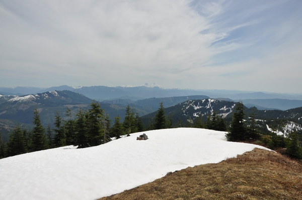
Storm King Mountain is identified on nearly all maps as a regional marker. Storm King is the highest mountain in the immediate area east of highway 7 between Elbe and Morton. The summit has a prominence of 2,230 making it the 106 most prominent mountain in Washington State. The view from the summit is unobstructed and offers a great perspective of the three volcanoes and their surrounding minor mountain ranges. The mountain is riddled with logging roads and the local logging companies are fairly good about non-motorized use.
Distance: 5 miles
Summit Elevation: 4,750 feet
Elevation Gain: 3,000+ feet
Access: Paved or Dirt
Route:
Access:
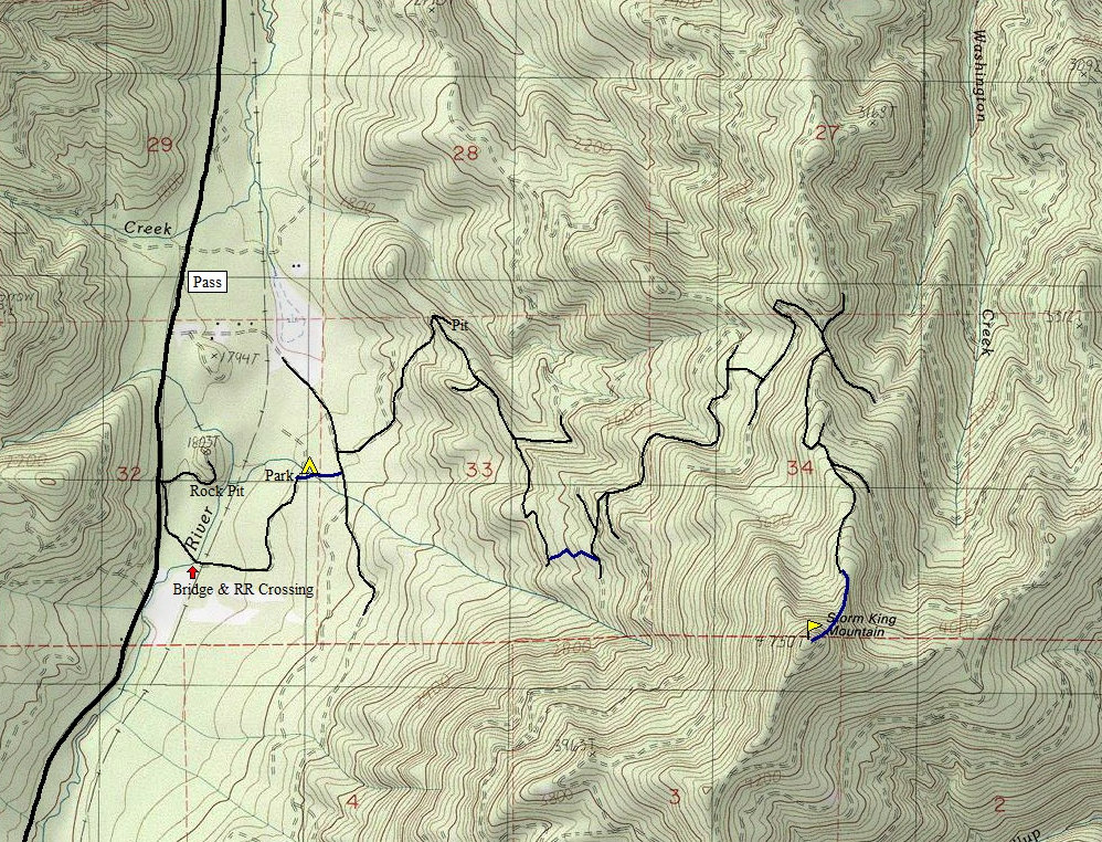
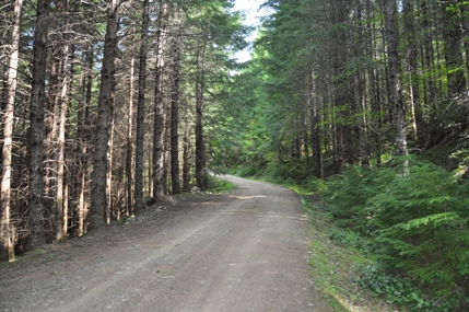
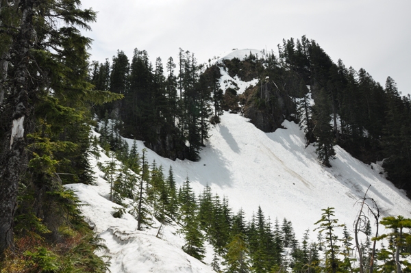
Because access can be made from Highway 7, this route could be done at any time. There are many roads on Storm King Mountain, this route access is the most direct on foot but there are other longer options if you wanted to bike roads to the summit. Walk through the campsite staying to the right of the stream. A way trail should take you to a log bridge over the little creek gully. On the other side, enter a clear-cut area and cross until you hit a main north/south road. Turn left, and follow a short distance to a right turn (possibly marked as road #483). Take this road as it soon climbs uphill to a minor ridge. Follow the map provided, avoiding side spurs. Near the end of the road, climb up through the harvested area into the forest. This forest is fairly open and has been thinned some. After 15 minutes you should reach an old abandoned road at approximately 2750' elevation. Follow the old logging road left/north to more roads. Follow the map. These roads will take you well north of the peak but nearly the entire route is climbing uphill so think of it as a large switchback. These roads end just 600 feet below the summit on the north ridge. Climb the north ridge on a game trail that follows this narrow ridge, an to the left of a rock face. With snow, it may be safer to go up a gully to the right of the ridge. The final 100 feet is just a steep hill through some small trees.
Storm King Mountain from Spiral Top
Storm King Mountain from Mt. Goodie
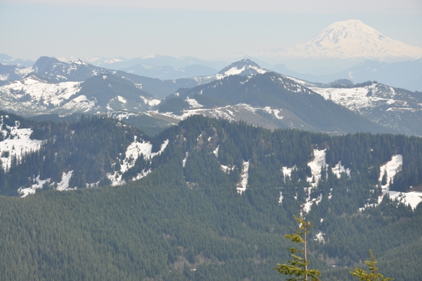
As of 2012, these were the local landowners. Yellow is the access road that had no gates or signs. Blue is the approximate route.
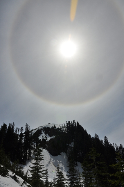
Halo over Storm King Mountain
End of the road at the camp area
Lower elevation forest walk up logging roads
The north side of Storm King Mountain
Storm King Mountain from the north
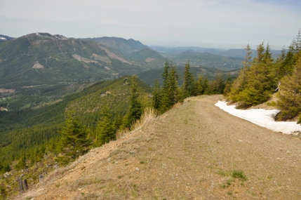
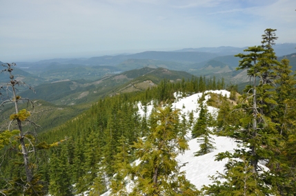
Views along the way to the west
Along the north ridge from roads end
Looking north while going up the north ridge
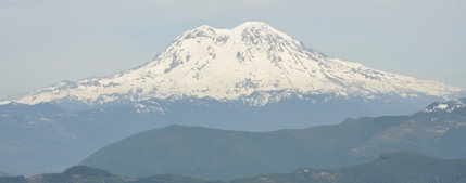
Mount Rainier from the summit
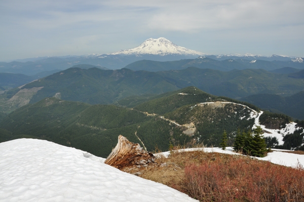
Looking SE with Mt. Adams in the distance
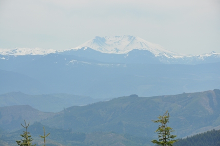
Looking south with Mount St. Helens in the distance
Mount St. Helens
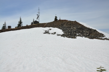
Tower on the summit
Purcell Mountain and Mt. Adams
Mount Rainier
Below: Topo map with roads as black lines and off road as blue lines


