willhiteweb.com - Hiking, Climbing and Travel
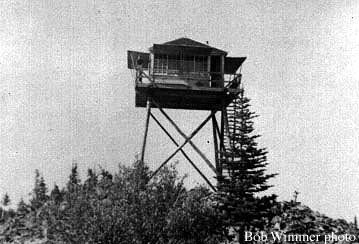
In July of 1937, the Colville Examiner wrote: "The resettlement administration has completed 60 percent of the construction of a trail to the top of Old Dominion mountain in preparation to constructing a lookout station on the peak, according to Harry Whiting, head of the local office. The lookout will be a 14 by 14 foot structure built on a 20-foot tower, Mr. Whiting said." The lookout inventory has this first lookout as a 15 foot pole tower with L-4 cab, built in 1938. The following year, the Colville newspaper reported in August of 1939 that "Dominion mountain is equipped with a tower and one can see a vast amount of country from the mountain top. A good road goes within three miles of the tower. There is a good safe place at the end of the road to park the car and to prepare for the three-mile hike over a good trail through green timber. The trip to the top of Dominion mountain is reported by forest officials to be very enjoyable for those who like to hike."
The lookout person in 1941 was Bob Wimmer who retired from the Forest Service that season. On July 5, 1947, the Colville Examiner wrote the following story: “Mr. and Mrs. James Linne awoke Thursday morning atop of Old Dominion mountain where Mr. Linne mans the lookout for the Colville National forest, he wasn't just certain whether next week would be the 4th of July or Christmas. It really looked like Christmas with two inches of fresh snow covering the ground. Well anyway he didn't think he would have to worry about fires that day.” (The Colville Examiner)
In 1963, the lookout was replaced with a 20 foot treated timber tower with R-6 flat cab. Vandalism plagued the tower, especially after it was abandoned in the late 1970's. It was sold in 1983 to a local farmer who used the legs to support a water tank and added the cab to his house.
Old Dominion Mountain Lookout Site
Distance: Drive Up
Elevation Gain: 0 feet
Summit Elevation: 5,773 feet
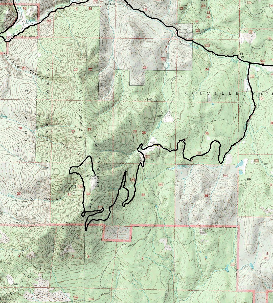
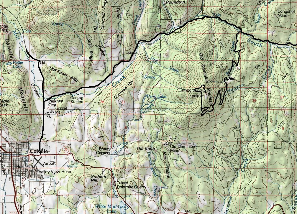
At the east end of Colville on Hwy 20, take the Colville-Aladdin road north to a right turn on Northport Road. Follow it to Threeforks and another right turn onto the S Fork Mill Creek Road. In a few miles, look for a wide Forest Road on the south side, possibly number 9411. Follow as shown on the map below.
Getting There:
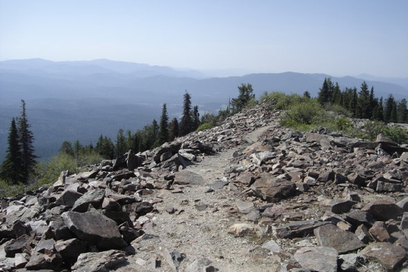
The short trail up to the summit
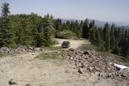
Parking area at the summit
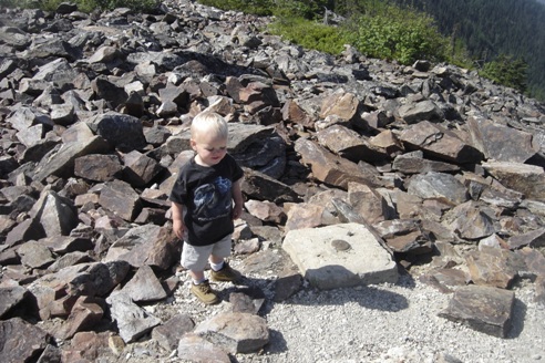
Summit Benchmark
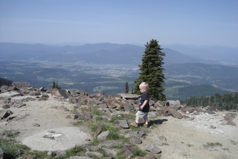
Summit Benchmark and view
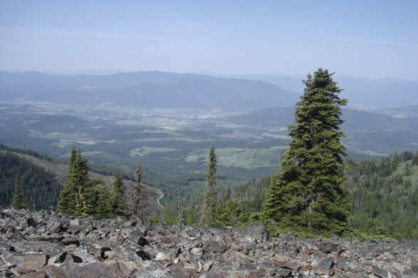
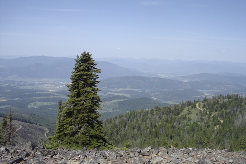
Looking down at Colville
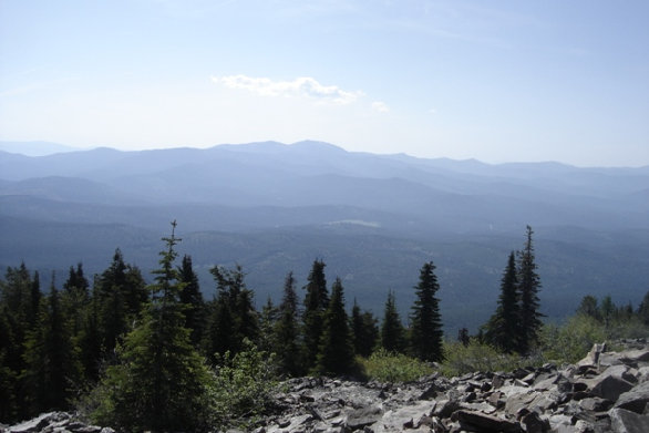
View to the south
View to the west
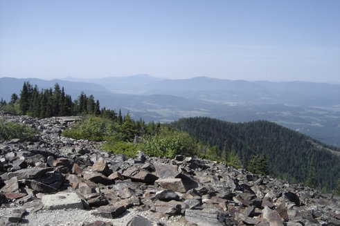
View to the southeast...and I believe that is Calispell Peak
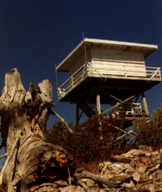
Second structure, the R-6 Cab
First structure, the L-4 cab on a pole tower

1967 USGS, 1977 update


