www.willhiteweb.com - Hiking, Climbing and Travel
Mount Maude and Seven Fingered Jack
These are two of the highest peaks in Washington that are scrambles. Both peaks require much effort but your reward is a super high viewpoint between the Glacier Peak Wilderness peaks and the Chelan Wilderness Peaks. Although these can be done as day trips by folks in top shape, you'll need to plan 2 days to do both.
Access:
Distance: 8+ miles
Summit Elevation: 9,100 & 9,060 feet
Elevation Gain: 8,100+ feet
Access Rating: Rough gravel but accessable by all
Take U.S. 2 to Coles Corner. Follow Highway 207 north for 3.8 miles. Turn right on the Chiwawa Loop Road. Follow for a few miles looking for a signed left turn onto the Chiwawa River Road (FR 62). Follow it for 22 miles until a final right turn on FR 6211, the Phelps Creek Road. It goes 2.5 miles to a parking area at the end.
Route:
There are two routes into the area, both start at the Phelps Creek Trailhead. The first is to hike the Phelps Creek Trail for 2.5 miles to a trail split at Leroy Creek. Turn right and follow a steep climbers trail 1.5 miles up to Leroy Creek Basin. At the basin, the terrain opens and the route up Seven Finger Jack is apparent. Take the obvious couloir out of the basin east, toward the saddle between 7FJ and Mount Maude. Routes vary here but climbing up to the base of cliffs at 7200 feet, then cutting right to the bench at 7800 is easiest. Even safer is reaching the bench by accessing it further to the south. From the 7800 foot bench, traverse steep scree north staying below the summit spires. Follow base of spires until near the top where you should reach a deep narrow ravine. Cross the ravine at its top and follow the climbers trail from that point to the summit.
To reach Maude, you can find a faint climbers trail back down at roughly 6800 feet that will take you just below the cliffs of Maude at 6600 feet, then up to a saddle east of point 6888. (See map) Once over the saddle, the trail splits. Take the left fork (the right fork is the Carne Mountain High Route) which climbs very steeply up a rib of Maude, traverses below some cliffs, and reaches the south Maude saddle. Again see the map. This saddle is the access for Ice Lakes as well. There is also a few tent spots just up from the saddle low point. You can also reach this saddle for climbing Mount Maude by taking the Carne Mountain High Route. It's more scenic but requires some route finding, extra ups and downs, possible bushwhacking and off trail scrambling.
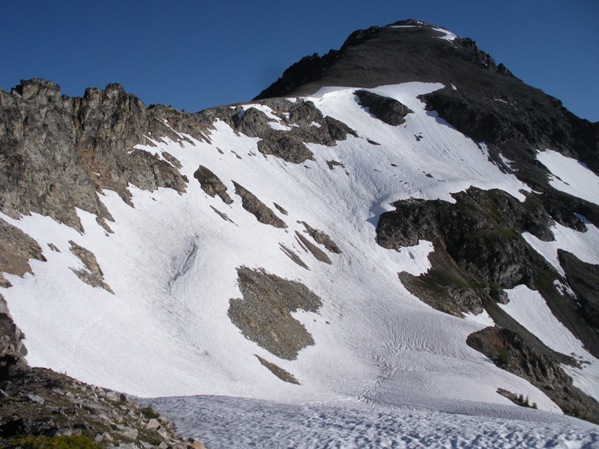
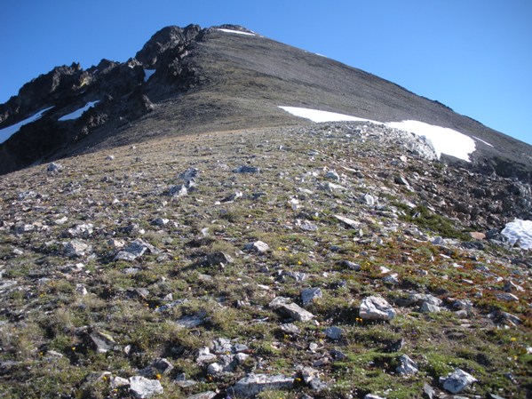
From the saddle, cliffs prevent a full ridge walk to the summit. You must first traverse below the cliffs on the east side before gaining the ridge at 8000 feet. In early summer, this area may be steep snow. Once on the south ridge above 8000, it's easy climbers trails up scree slopes tot he summit.
Many trail reports also suggest a more direct route out of Leroy Basin by ascending a boulder field and west-facing gully to the south shoulder to 8000 feet.
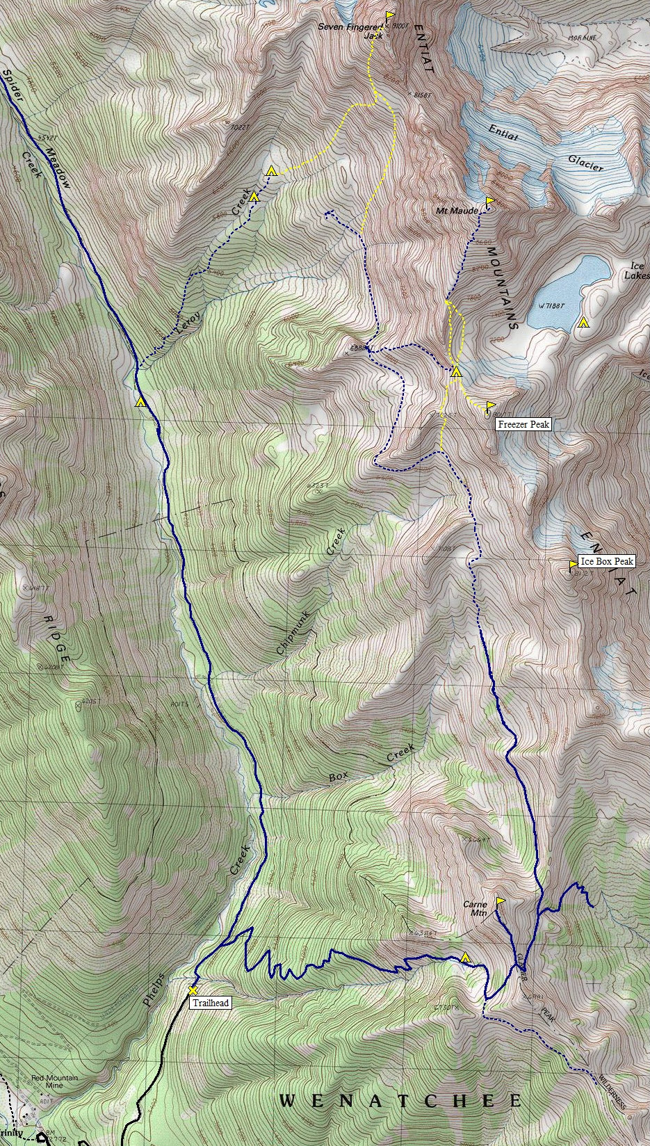
Below: Nice hiking trail is blue, good climbers trail is dashed blue, route is in yellow


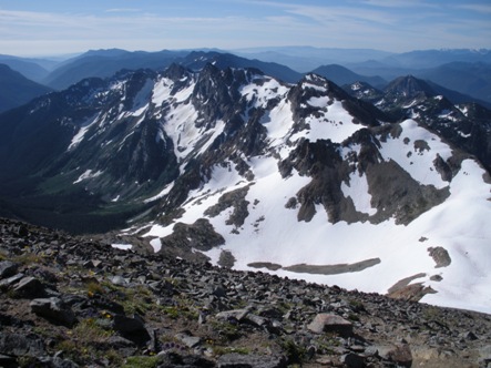
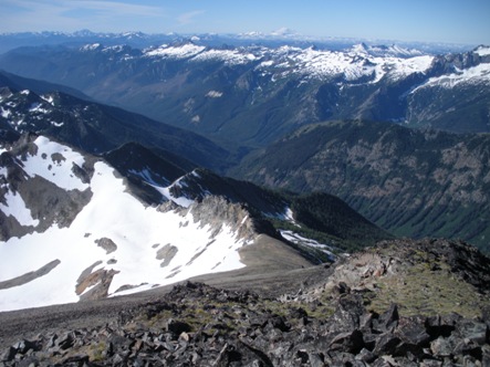
Mount Maude summit view
Leroy Basin with route shown
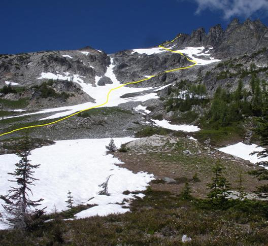
Route (looking north) up Seven Finger Jack from the little bench at 6800 feet
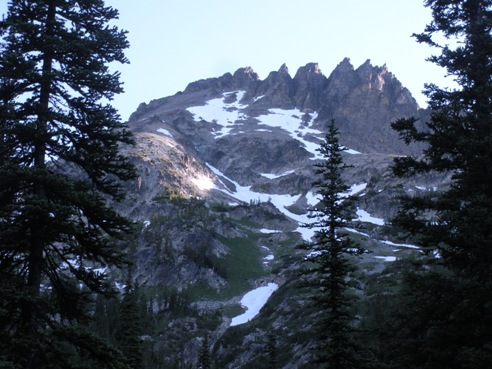
First view of Seven Finger Jack from Leroy Creek Trail
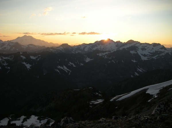
Sunset over Fortress Mountain
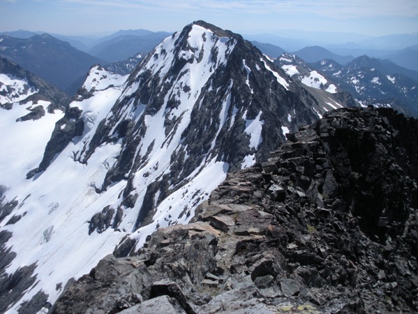
Mount Fernow from Seven Finger Jack
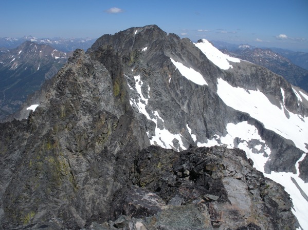
Mount Maude from Seven Finger Jack
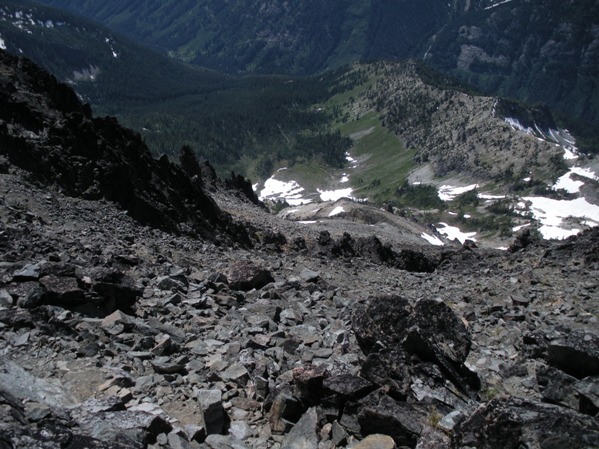
Looking down the route for Seven Finger Jack
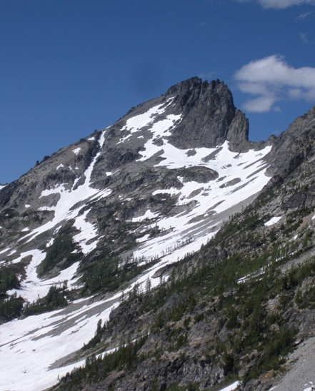
Seven Finger Jack from the col east of point 6888
Freezer, Ice Box and Chilly Peaks
Looking down the south ridge of Maude with Rainier in the distance

South ridge of Mount Maude from the col to access Ice Lakes
Above 8,000 on Maude looking to the summit
Evening light from camp on the south ridge col of Mount Maude


