Bendal, Pugh, then Whitechuck Mountain
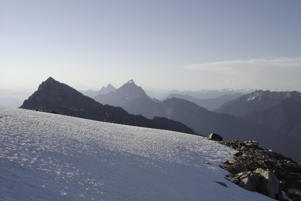
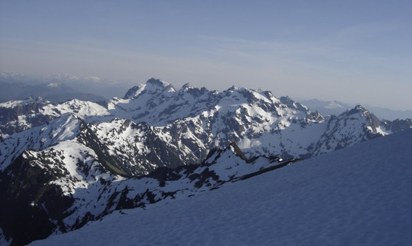
Monte Cristo Peaks late in the evening
Sloan Peak "The Matterhorn of the Cascades"
WillhiteWeb.com: Washington Hiking & Climbing
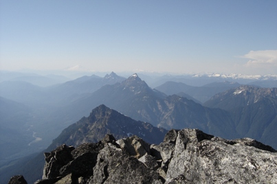
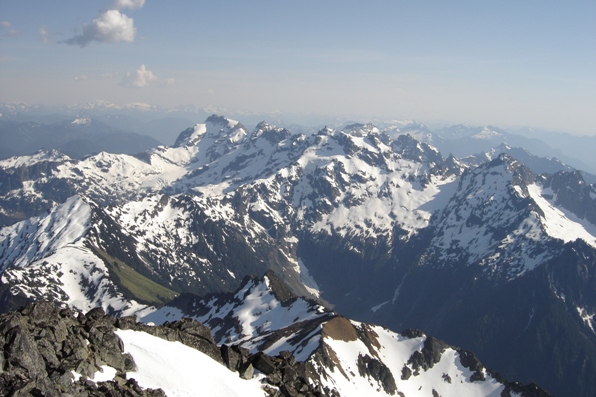
Monte Cristo Peaks from the summit
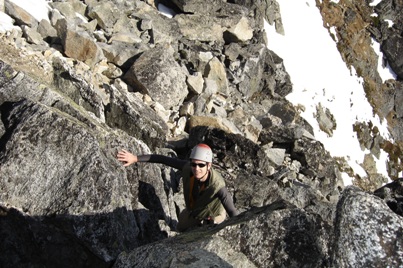
The final scramble to the summit
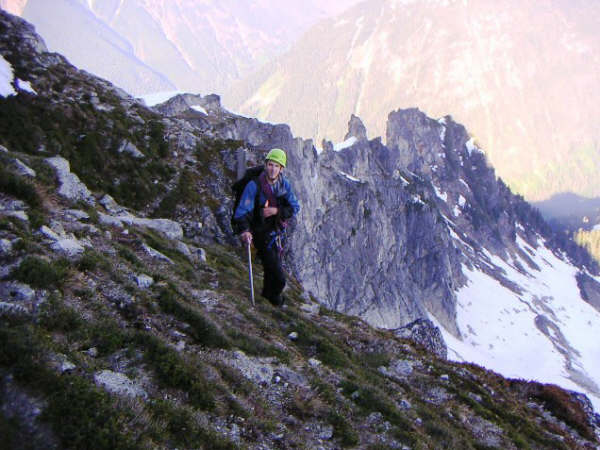
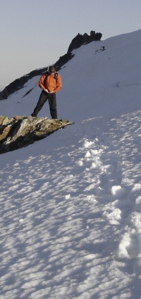
On the ledges above massive cliffs
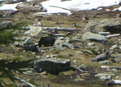
The first bear sighting
Looking north from the summit
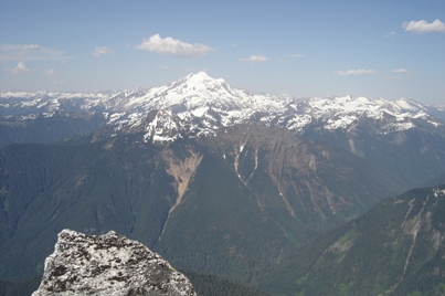
Looking East to Glacier Peak
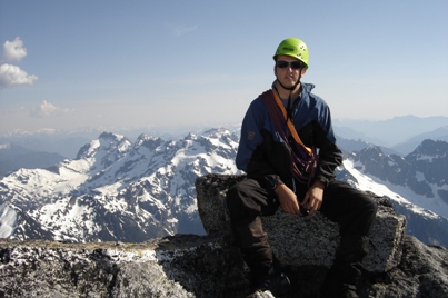
Sitting on the summit
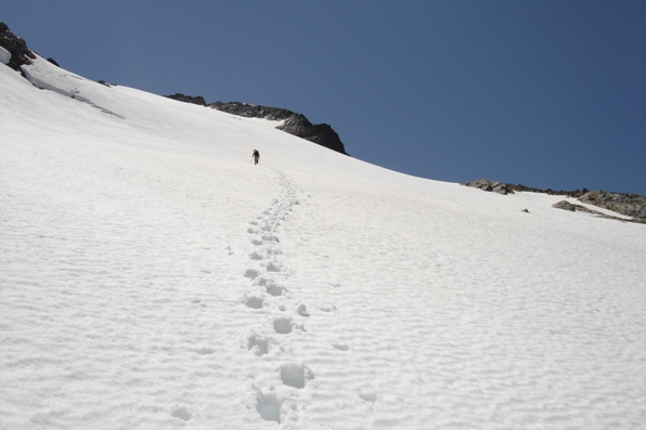
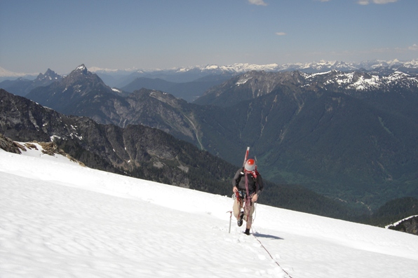
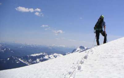
Hiking up the Glacier
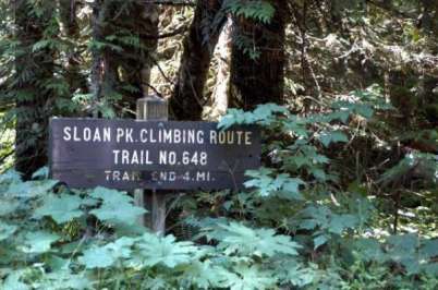
Trailhead sign overgrowing....our first red flag
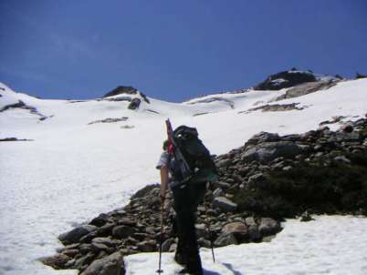
Working our way up to the glacier
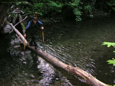
The first of several water crossings on logs
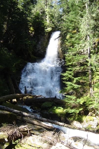
The upper waterfall
Working our way up to the glacier
Access:
Distance: 5+ miles
Elevation Gain: 5,938 feet
Summit Elevation: 7,835 feet
Access: Good Gravel
The Route:
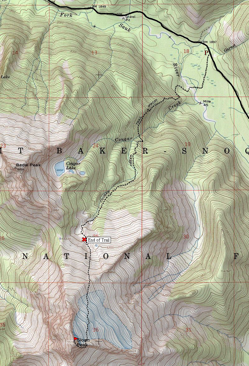
Start up the Sloan Peak trail to some small creek crossings. Look for fallen trees helping get you across. The main channel of the river is much larger, requiring wading. We crossed this during the May snowmelt so I brought fisherman waiters and boots. The river was up to our thighs but even my dog was able to make it over on his own. Once on the other side, I stashed my waiters and boots. A 20 minute search for the trail finally revealed its hiding place on the far side. Since the trail was built by miners, it did not play around, gaining elevation fast. At Cougar Creek, the trail passes between 2 waterfalls with few options to cross. We made it over a very slick log. Unfortunately, Dozer could not get across so there he stayed for 10 hours!
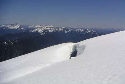
When we broke out of the woods into a meadow, a black bear was right in our path. We banged our trekking poles and gave some shouts. Had Dozer been there, he would have chased him down, Yikes! Once the bear saw us he quickly began to run for cover. The route then took us up a gully to a ridgeline and the beginning of the glacier climb. We roped up excited to be having such perfect weather to climb in. There were a few crevasses but it was early in the season for much to be exposed. Once off the glaciers, it was a traverse on a snow covered shelf. The cliffs below were making the exposure intense. We belayed each other on several sections that would have been much easier had it been later in the season. Finally with a few pitches up some exposed rock we were on the summit. What an amazing spot. I remember viewing this peak from the Pacific Crest Trail when I was 17 thinking I will never be able to get up that.
Getting down was slow as well. By the time we were off the glacier, it was getting near dark. We figured with the super warm temperatures that day, the river would really be raging. I also had Dozer who would need to get across the river as well. I darted down hoping to have a bit of light to find a new place to cross the river. At the bottom, I hiked up stream about 10 minutes to a spot where the river was the widest, around 100 feet. Soon my climbing partner arrived and we prepared for a major river crossing in the dark. To make matters worse, just up river on the far side was another bear. Dozer was barking at him but that didn't seem to phase the bear, he just kept looking at us. With my 150' rope, I tied one end to me and started across. The deepest section was waist level, almost impossible to remain standing. Somehow I made it. Next my friend tied Dozer up. He made it 20 feet or so before the current carried him away. I pulled on the rope as hard as I could but it was up to Dozer and the pendulum effect to get him across. He arrived on shore about 100 feet down stream. Finally, my friend came across. At about 70 feet he reached the deep section. It was slow going to stay upright, not getting swept away. As he was slowly becoming numb he began to doubt his chances. I convinced him the rope would help so I threw it to him. By some miracle, he slowly inched his way to the shore without going for a swim.
Only a half mile from the car, we spent another 2 hours trying to get across multiple wet areas and a maze of bad brush. We hit the road completely spent from 16 hours of work. A classic Cascade Climb!
Take the Mountain Loop Highway from Darrington 17 miles to the North Fork Sauk River Road. Drive 4.5 miles to the trailhead on the right.
On the way down
