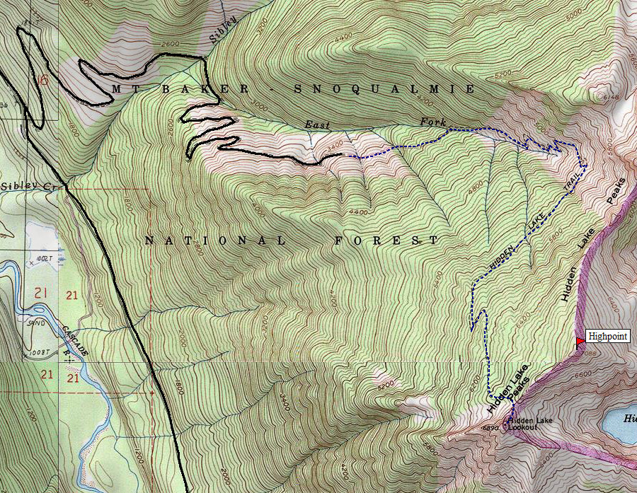
From Marblemount on Hwy-20, leave the highway at the main corner in town. This road goes east across a bridge. This is the beginning of Cascade River Road. At 9 miles from Marblemount, the Sibley Creek Road No. 1540 starts to the left and climbs up the drainage for about 4.7 miles to the Sibley Creek trailhead. Most people are able to drive up in a standard car.
Hidden Lake Peak & Lookout Site
Distance: 4 miles
Elevation Gain: 3,500 feet
Summit Elevation: 7,088 feet, lookout at 6,890 feet
Access: Good Gravel
Washington Hiking Trips
Route:
This is a very popular hike off the Cascade River Road just outside the national park boundary. It's one of the easiest peaks to reach that gives you views over all the rugged peaks in the area. There is also a 1931 lookout on the summit that makes for great pictures. But, the lookout is not on the highest point, look for point 7088 on the map and scramble up it for the highest point.
This is just a trail by mid July, before that be prepared for some steep snow crossings. The trail starts as an old road, goes up through forests, finally becoming meadows and views, views, views. A few minor trails break off the main route if you wanted to go to Sibley Pass, Hidden Lake or the highpoint. Most people just go to the lookout.
Access:
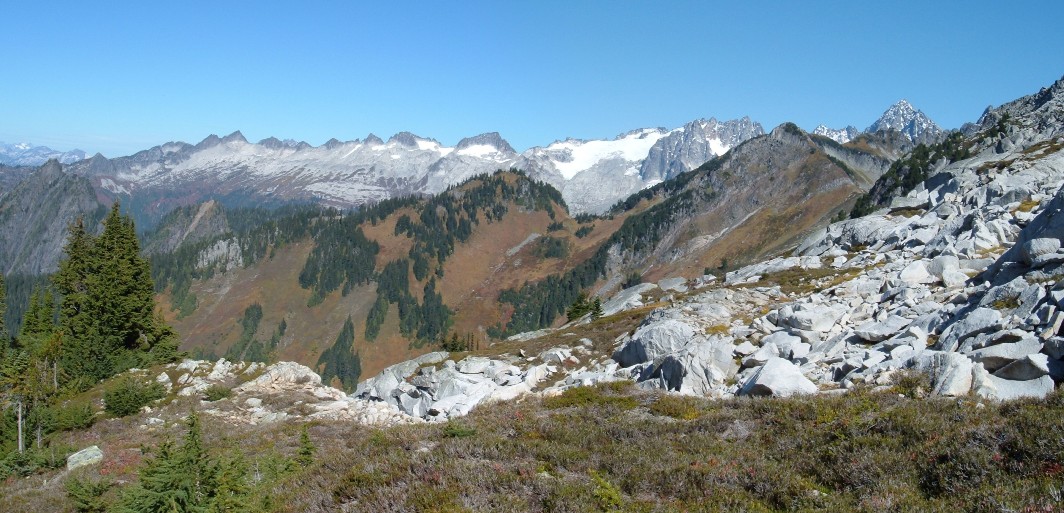
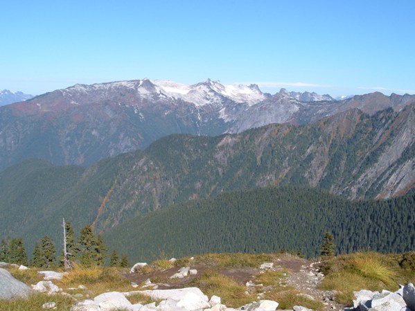
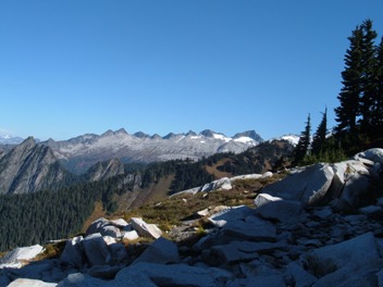
View north to the Eldorado and Triad area
Northwest to the Teebone Ridge area
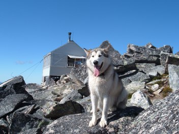
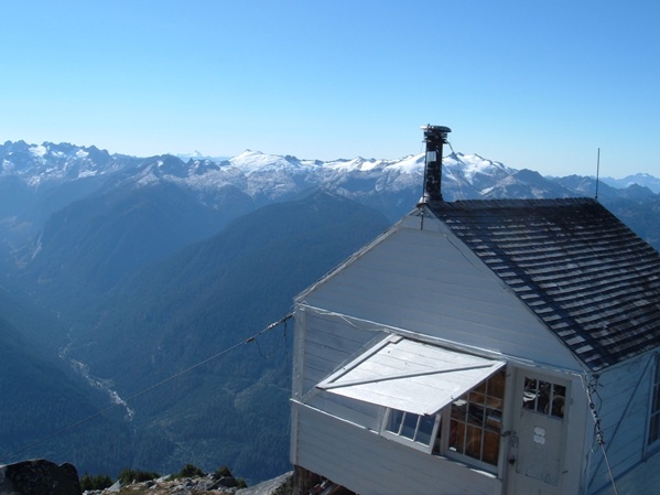
Hidden Peaks Lookout
Hidden Peaks Lookout
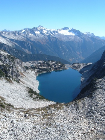
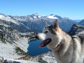
Hidden Lake with Forbidden Peak, Boston and Sahale Mountains
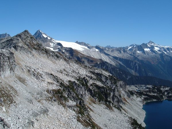
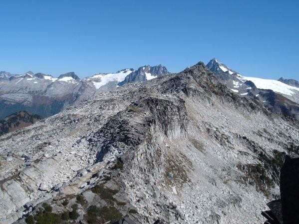
Hidden Peaks true summit, Eldorado and Forbidden Peak
Hidden Peaks true summit from Hidden Peak Lookout area
Views north on the trail
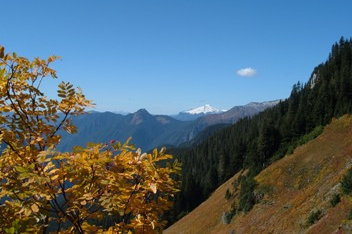
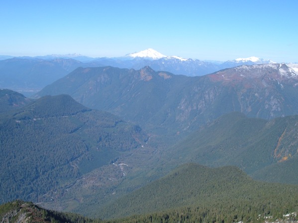
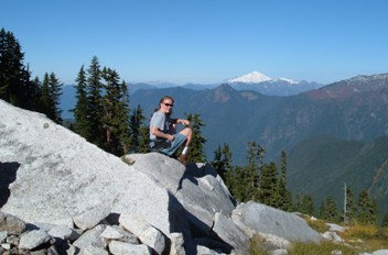
Mount Baker from the trail
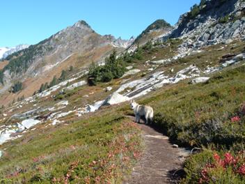
On the trail
Mount Baker
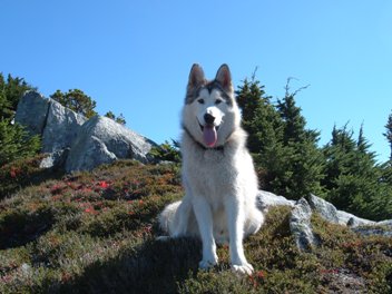
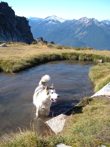
He wanted to run down to the lake but it was just too far
Lookout House History:
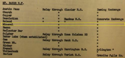
This ground house lookout was built in 1931 by the U.S. Forest Service. The gable-roofed L-4 cab was also used during WWII as an Aircraft Warning Station, going by the name Mineral Park. It was staffed in 1951 by Harold Vail and last staffed in 1958. In 1961, Dr. Fred Darvill and the Skagit Alpine Club obtained a special use permit to restore and maintain the historic structure. Today the lookout is maintained by Friends of the Hidden Lake Lookout. Visitors can spend the night inside on a first come basis, year round. Hidden Lake Lookout is listed on the National Historic Lookout Register.

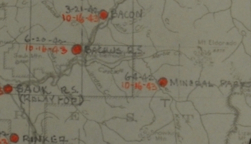
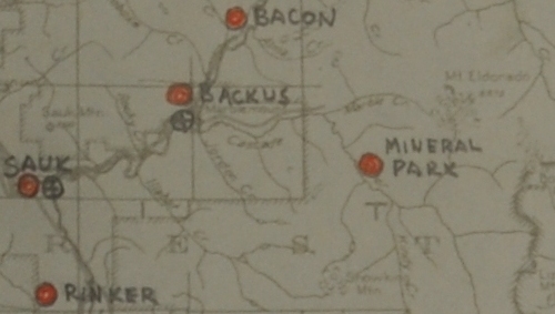


AWS map showing Mineral Park (Hidden Lake Lookout)
AWS map with dates showing Mineral Park (Hidden Lake Lookout)
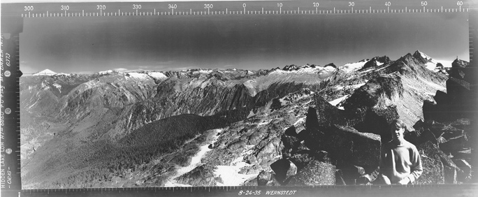
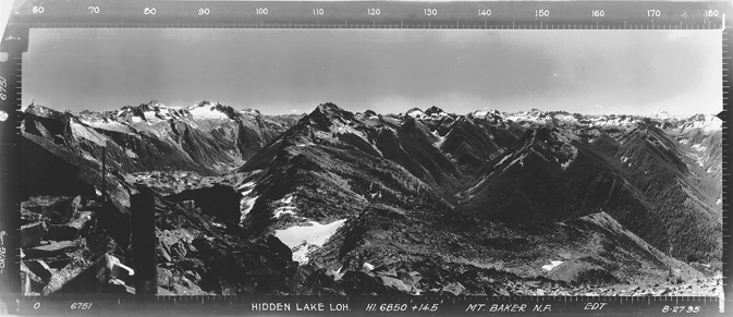
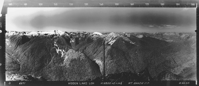
Looking Southeast August 24, 1935
Looking Southwest August 24, 1935
Looking North August 24, 1935
AWS list of stations - Existing Station Winterized
AWS accessibility list
AWS communications list
Above: July 25, 1942 Below: December 1, 1942


