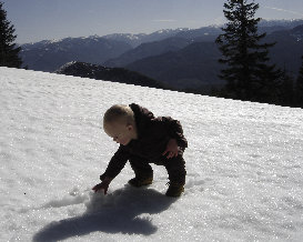
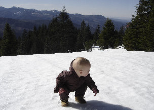
Grass Mountain is a long east-west ridge, east of Enumclaw on the north side of the White River Valley. There are many summits along the ridge, most have logging roads up and some have large communication facilities. Somehow, Grass Mountain East has survived the development of these things although in time, the summit will probably be logged off as well. This is a perfect winter snowshoe or ski trip. Spring makes for a good hike as well, I was able to carry my 6 month son up the route.
Find your way to Enumclaw. Take Highway 410 west toward the Greenwater and Crystal Mountain. Just before Greenwater, turn left on a logging road that goes up Slippery Creek. It's the only one so it's not hard to find. If you go into town, turn back...you missed it. Drive the road as far as you can in winter or to the gate in summer. This is private timber company land but they allow non motorized recreational use.
Grass Mountain East
Distance: 4 miles
Elevation Gain: 2,300 feet
Summit Elevation: 4,329 feet (589 feet of prominence)
Access: Any car
www.WillhiteWeb.com: Your online resource for hiking, climbing and travel

Access:
Route:
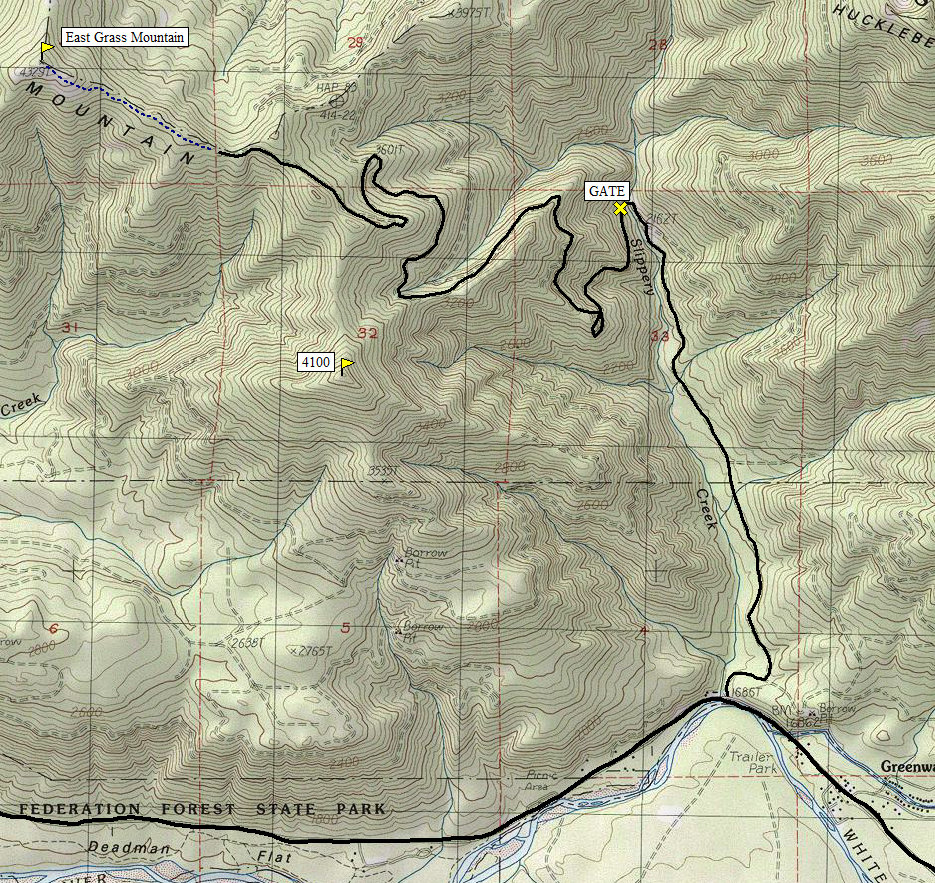
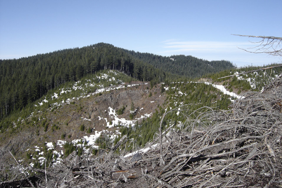
Walk the logging road as shown on the map. There are many roads that don't appear on topo maps so follow along closely. Around 3800 feet you'll reach the ridgeline and start traversing on the road toward the objective. The road will drop down a short distance and the final summit will become visible (the highest point with the old trees). After the drop, for a short distance, you'll be in new growing trees but then you'll enter the canopy of old forest and have that the remaining 3/4 mile to the summit off-trail. In the area of the highest point, the south side has large meadows for views. Snow covered the area but there could be an old trail in the woods section. (See picture with old hiking trail sign).
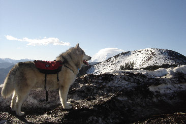
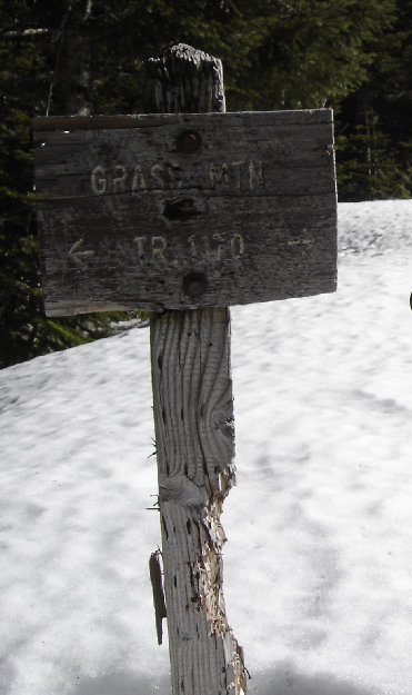
Old trail sign near the summit
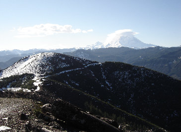
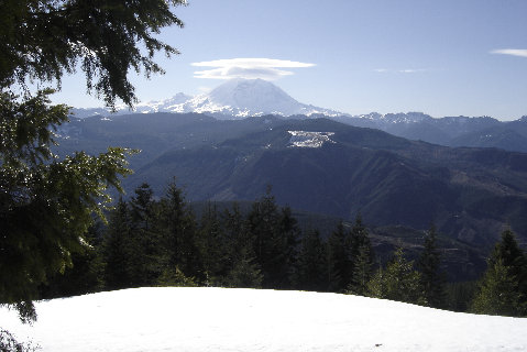
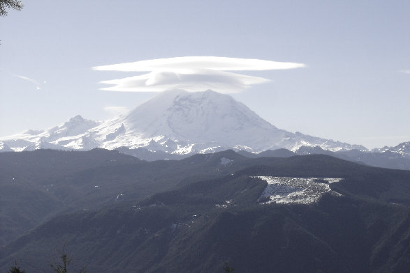
Mount Rainier from the summit area
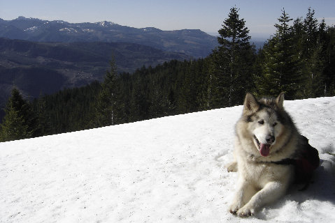
Looking up the White River Valley
Dozer on top
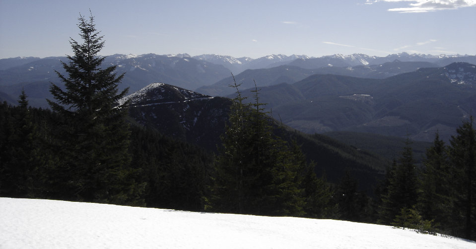
Looking south
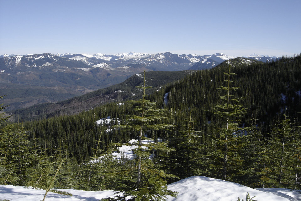
Looking north from the logging roads just before entering the woods
The route follows the snow covered road on the right, dropping a bit, then enters the forest and stays in the forest to the summit
Dozer, Point 4100 and Mt. Rainier
Point 4100 and Mt. Rainier


