Goat Peak - American Ridge Lookout Site
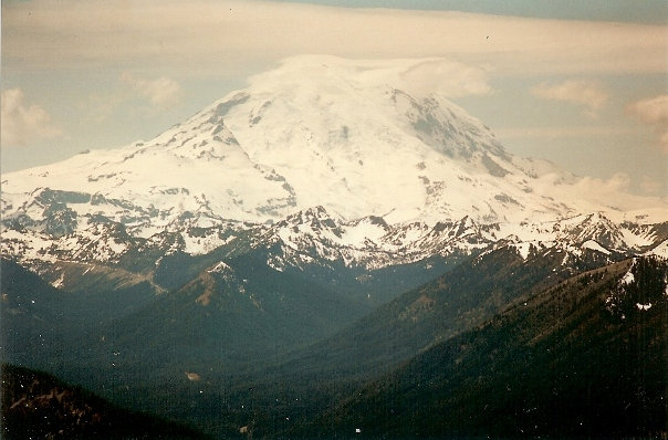
Goat Peak is the site of a former lookout, on the very long American Ridge, east of Mount Rainier National Park. During early summer, the peak is just far enough east to avoid bad weather that may be built up on the west side peaks. The summit view is an excellent vantage point for Mt. Rainer, Fifes Peak, Bumping Lake and the Mt. Aix group of peaks. This is the only mountain summit most people climb in the area so go when the weather is good. The Goat Peak Trail is challenging if hot, there is no water but the route is fairly scenic with the pine trees and wildflowers.
WillhiteWeb.com
Distance: 5.5 miles
Summit Elevation: 6,473 feet
Elevation Gain: 3,400 feet
Access: Paved
Date of visit: 6-13-1996
Access:
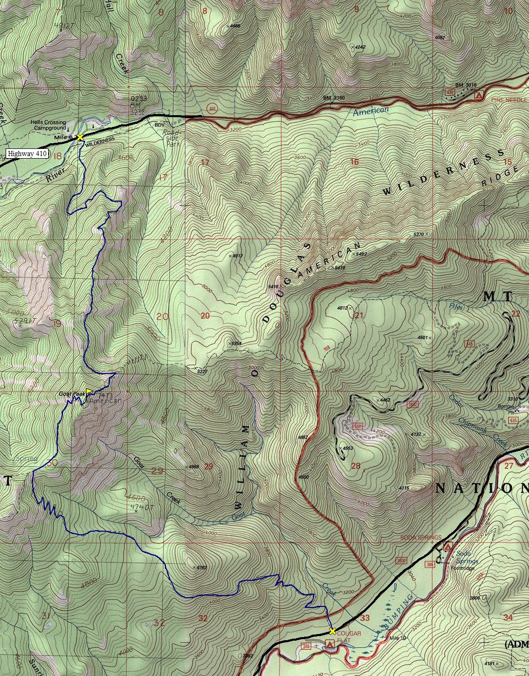
From Chinook Pass drive east on State Route 410 for 19 miles to Bumping River Road. Turn right and drive 5.8 miles to the Goat Peak trailhead near the Cougar Flat Campground.
Goat Peak Trail Route:
The trail starts in forests and climbs steeply ascending tight switchbacks. Around 5,500 feet the trail breaks out a bit into a meadow and at 4 miles you reach the American Ridge Trail. Turn right and follow the ridge one mile with fantastic views. Then, just below the summit, a spur trail cuts off the American Ridge Trail. Follow the spur a steep half mile to the old lookout site, Goat Peak.
North Ridge Route
Use this route if you want the most direct route with a bit less driving if you are coming from Chinook Pass. It is also on the north side and likely cooler, although snow may linger a bit longer. This route is 3.5 miles with a bit less elevation gain. Trail starts from near the Hells Canyon Campground.
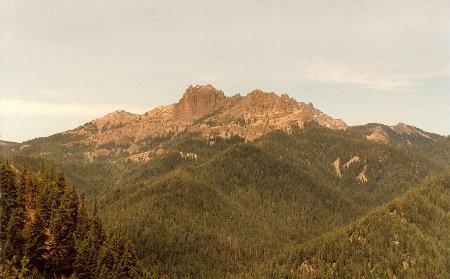
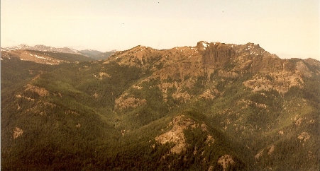
Fifes Peak from part way up the north trail
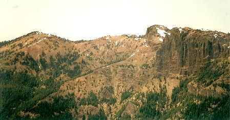
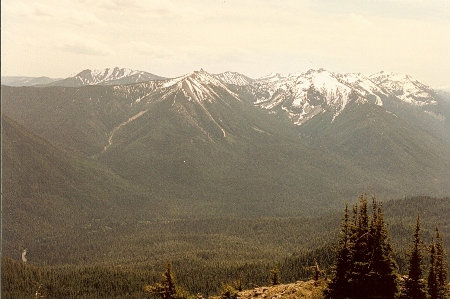
Fifes Peak from near the top of the trail
Peaks around Mount Aix
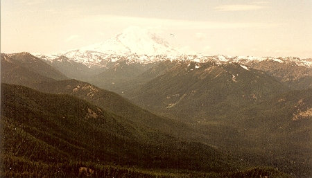
Mount Rainier
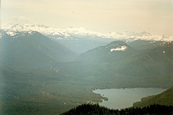
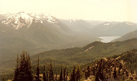
Bumping Lake
Mount Adams and Bumping Lake
Mount Rainier
Fifes Peak
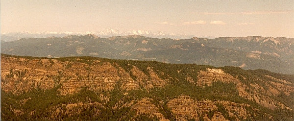
Looking north to Mt. Stuart
Lookout History
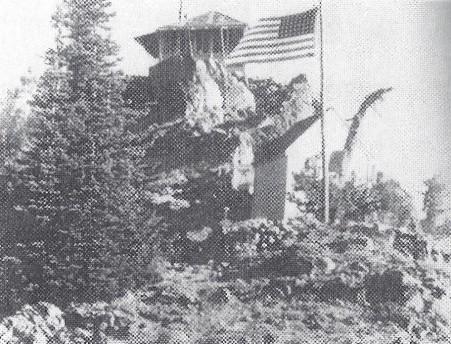
The lookout was built in 1933 as an L-4 cab. 20 feet below was a storage shed. In 1955 the lookout, William George of Selah radioed to the district ranger at Naches he was not feeling well and a Yakima doctor diagnosed his ailment as appendicitis. District Ranger Robert Torheim sent a Forest Service patrolman with a pack train to the lookout point but after the doctor advised a horseback trip might be dangerous for George, Torheim asked the Whidbey Island Naval Air Station for help. The Navy sent a helicopter and two hours after it left Whidbey Island, George was en route to a hospital. The pilot had to jockey the helicopter at the edge of a cliff near the lookout station. Bucking shifting winds, the pilot held the helicopters wheels on rocks by the building while the rear wheels hung over a cliff. The lookout was destroyed in 1968. A USGS party in 1971 reported the lookout house had been destroyed by fire.


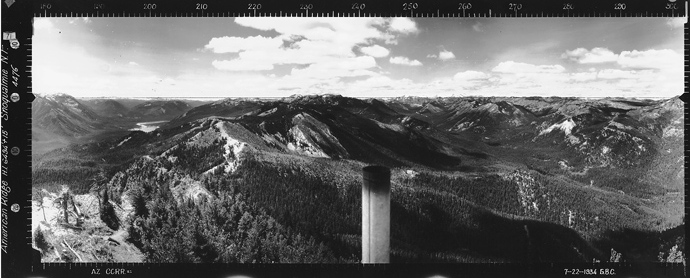
Looking North 7-22-1934
Looking Southeast 7-22-1934
Looking Southwest 7-22-1934


