www.willhiteweb.com - Hiking, Climbing and Travel
This mountain has a sad existence. It has no real prominence. It is often documented in trip reports under different names of other unofficially named peaks in the area. On top, you are looking at Mailbox and Mount Defiance on each side, both are close and higher. So why climb it? It's along the I-90 corridor, everyone talks about it, the trail is nice in places and it makes for a quick hike if you don't want to commit to something larger.
Although it is quick, it is not the easiest. The route has a 3300' elevation gain in approximately four miles.
Dirty Harry Peak
Distance: 4 miles
Elevation Gain: 3,300 feet
Summit Elevation: 4,680 feet
Follow I-90 from North Bend to Exit 38. Turn right onto old U.S. Route 10 and follow the old highway two miles, passing Olallie State Park and passing back underneath I-90, to a yellow gate marking the entrance to the State Fire Training Center area. If heading west on I-90, take Exit 38, turn right, and the yellow gate is less than 1/4-mile away.
It's best to park at the gate since it closes at 4:00 PM. The trail starts one mile up on the right where two concrete blocks sit at the entrance to the route.
Getting There:
Route:
Follow the rocky trail up Dirty Harry's Logging Road 1.5 miles until the route forks (elevation 2540'). The path to the right goes 1/2-mile to Dirty Harry's Balcony, a rocky outcropping offering great views of the Snoqualmie River Valley. Take the left staying on the old logging road. After 0.7 miles from that intersection, you cross Museum Creek.
The road soon switchbacks. After approximately 0.4 miles from the Museum Creek crossing, there is a steep rocky turnoff on the left side of the road. Walk up this left turn going a mile or so to the summit. You can shoot straight up at any time as well, especially when snow covered. Follow the trail or snow until you reach the highest point on the long ridgeline.
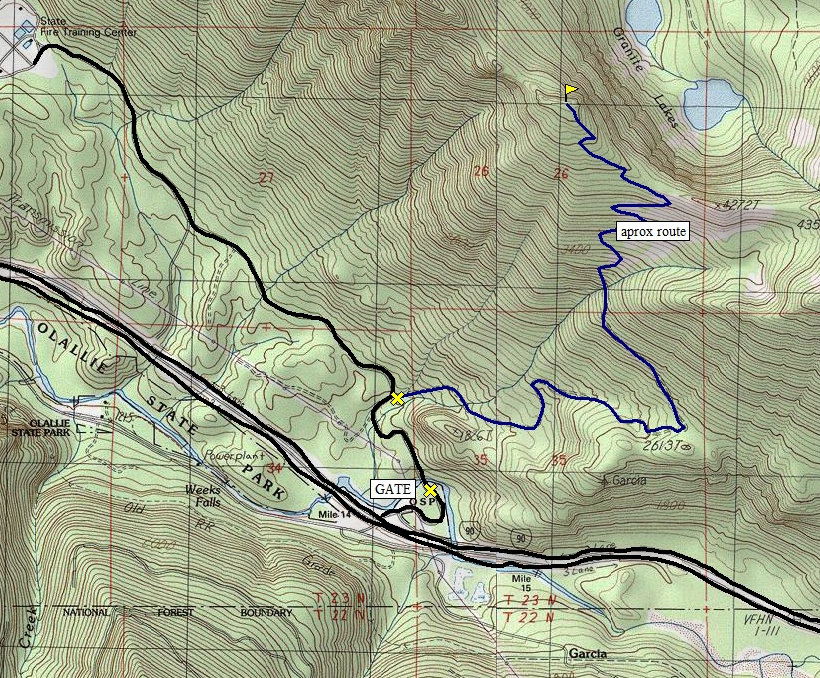
Upper portion of route is approximate
Revolution Peak
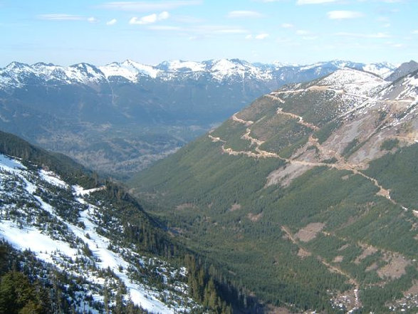
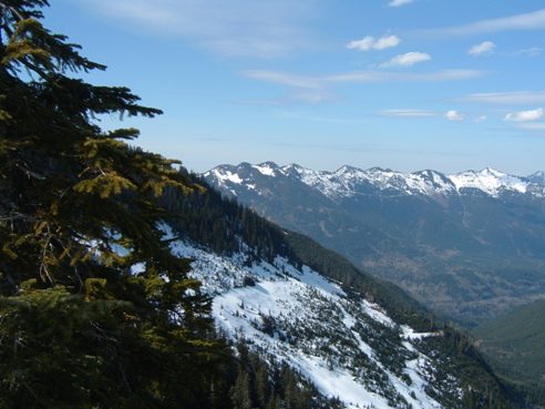
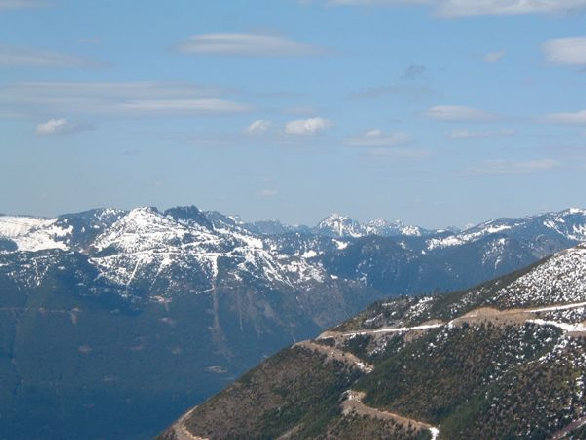
Middle Fork Snoqualmie River Valley, Mt. Bessemer, Zorro Road
Looking NW
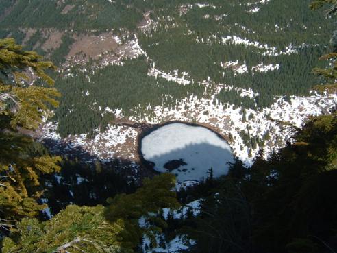
Looking down on one of the Granite Lakes
Granite Creek Valley
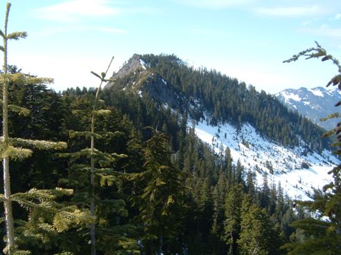
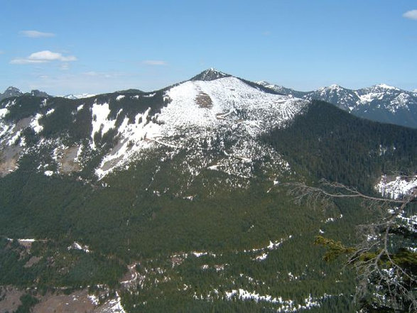
Mailbox Peak Highpoint or (Dirtybox) from Dirty Harry Peak
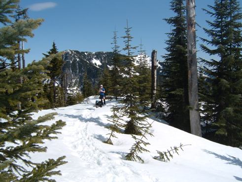
On the summit of Dirty Harry Peak with Web Mountainin the distance


