willhiteweb.com - Hiking, Climbing and Travel
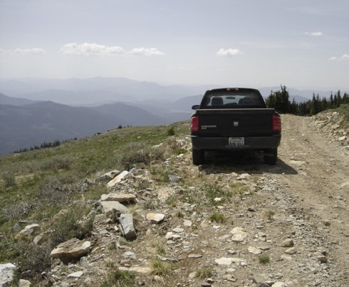
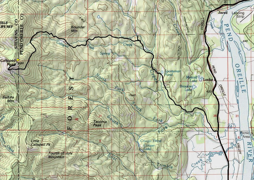
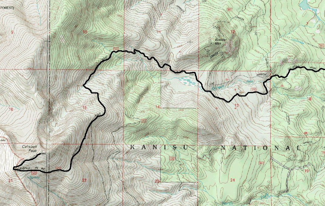
Calispell Peak is a prominent mountain between the Pend Oreille River on the east and the Colville River on the west. Calispell is the 30th most prominent peak in Washington with 3,635 feet of prominence and is located 14 miles northeast of Chewulah. There is a 4WD road that goes to the summit to reach the radio towers. The summit area is above the main tree line. With the road up there, it feels quite unique for a Washington mountain to be that high on a road.
Calispell Peak
Distance: Drive Up
Elevation Gain: 0 feet
Summit Elevation: 6,855 feet
From Highway 20, north of Northport and the small town of Cusick, find the Tacoma Creek Road. This road goes past the USAF Survival School. Just past the school is Calispell Peak Road, which winds for several miles up to the top. Use a map, there are many side roads. It can get rough in places but one person I know pushed his family van to the summit!
Getting There
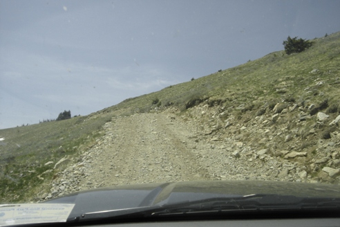
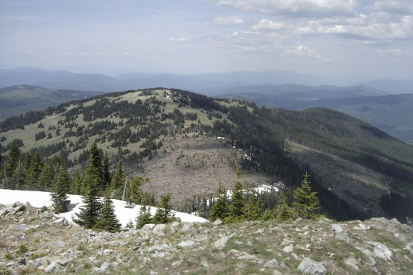
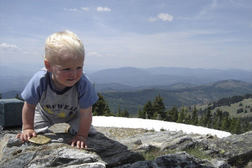
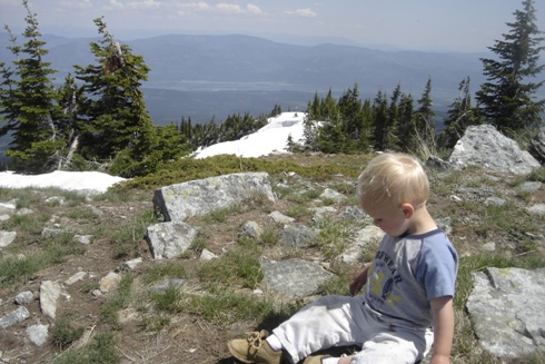
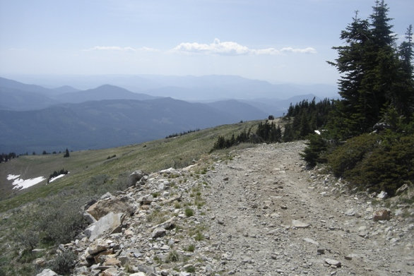
Just before the final hairpin turn
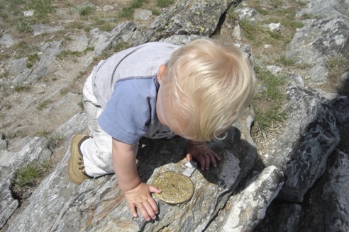
Summit Benchmark
Summit Benchmark
Near the summit looking south
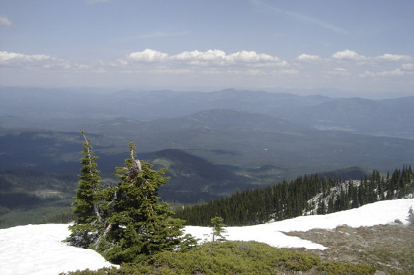
Looking northeast
One last patch of snow forced me to hike the last 1/4 mile
On the summit
View from the summit
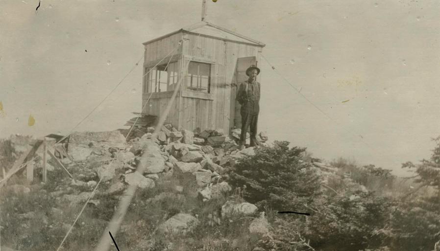
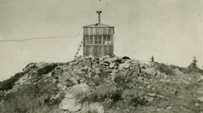
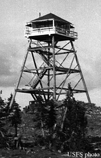
Calispell was established with a camp in 1920. In 1921, 10x10 foot frame cab was constructed. In 1936, a 40 foot pole L-4 tower was built. It was destroyed in 1955. There was also a patrol point 3.5 miles south atop Little Calispell Peak.
April 19, 1919: "Fire Warden John Welty states that the federal forest service, in conjunction with the state fire warden's department, contemplates establishing a fire lookout on Calispell peak, southeast of Colville. This peak is 6905 feet in height, and commands a view of the entire forested territory of Stevens and Pend Oreille counties. The requirement is made that some telephone connection be established with present systems, and Mr. Welty is looking into the matter of connecting with the Colville line to the Pend Oreille lakes, or with the line northeast from Chewelah, either one of which runs about 6 miles from the peak. The state and federal departments require cooperation from the settlers, mill men and timber owners. The timber owners of Pend Oreille county organized last summer, and have made arrangements to make a daily patrol over the timber of that county. It is now considered cheaper to prevent fires than to fight them." (The Colville Examiner)
1920: "A lookout was established in 1920 on Calispel Peak, which is located near the boundary between Pend Oreille and Stevens counties. A telephone line was erected from the lookout station to Locke, where it connects with county telephone system. On account of shortage of funds, a building was not constructed, but this lookout gave efficient service. The peak has an elevation of over 6,000 feet and affords a view overlooking a large area of both counties. It is planned to erect a lookout building on this peak next season, and also a telephone line connecting it with either Chewelah or Colville. Too much reliance should not be placed on the lookout as a means of reporting fires, as they are frequently enveloped in smoke during critical fire periods, and, besides, more depends upon the alertness and diligence of the watchman than upon the commanding view of the station and, furthermore, the greatest problem is the extinguishing of fires rather than detecting them." (1919-20 Annual Report of the Washington State Forester)
October 27, 1923: “During the early part of the season, a telephone line was constructed from the end of the Chewelah creek telephone line to the Calispell lookout station, a distance of 14 miles. This enabled direct communication with Stevens county and saved a great deal of delay in reporting fires. A system of switches was also placed in the Calispell station, giving direct telephone communication from Chewelah and Locke.” (The Colville Examiner)
June 10, 1926: "Fire Warden Linder with a crew of men has just completed putting in a phone line from Calispel peak."
June 19, 1926: “Three lookouts are stationed in Stevens and Pend Oreille counties, one on Granite Peak, one on Kalispel peak, and one on Blue Grouse mountain.” (The Colville Examiner)
June 19, 1926: “A desire for a higher place in life motivated Stanley Cory and Cecil Waldbeser to ascend the lofty heights of Kalispel peak last Sunday. Starting from Colville at four 'clock in the morning, the men drove to Chewelah and up Chewelah creek to the foot of the mountain as far as the road would permit. They packed up the mountain, reaching the peak in a little more than four hours climbing. They visited at the lookout station with Robert Stagner, lookout, who was moving into his quarters for the summer, and remained on the peak over night, returning to Colville Monday morning. The descent to the car was made in an hour and a half.” (The Colville Examiner)
Lookout History
Image taken July 20,1923 by John Welty. District Fire Warden. Stevens County
Note on back of imagae: "Meet Mr. Dunnigan Lookoutman on Calispell Peak. Mr. Dunnigan looks down on other people. If he could live on light air and mountain scenery, he would have plenty. Dont start any fires without a permit, if you do Mr. Dunnigan will get you. A man was trying to smoke a swarm of bees out of a tree some days ago, and the tree took fire, and Mr.Dunnigan seen it, and reported in to headquarters. And a ranger was sent to the scene of the fire, and arrested the man. It cost him 12 dollars. Pretty expensive honey. From the time that the fire was reported, until the man was arrested, was just 38 minutes. Quick work.
Many sources from Ron Kemnow…thank you!

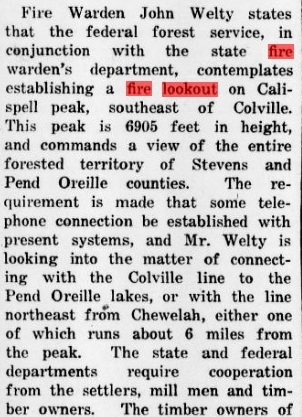
April 19, 1919 Colville Examiner
Calispell Peak 1922 taken by John Welty
Calispell Peak 1936
1919 Washington State Forester


