WillhiteWeb.com
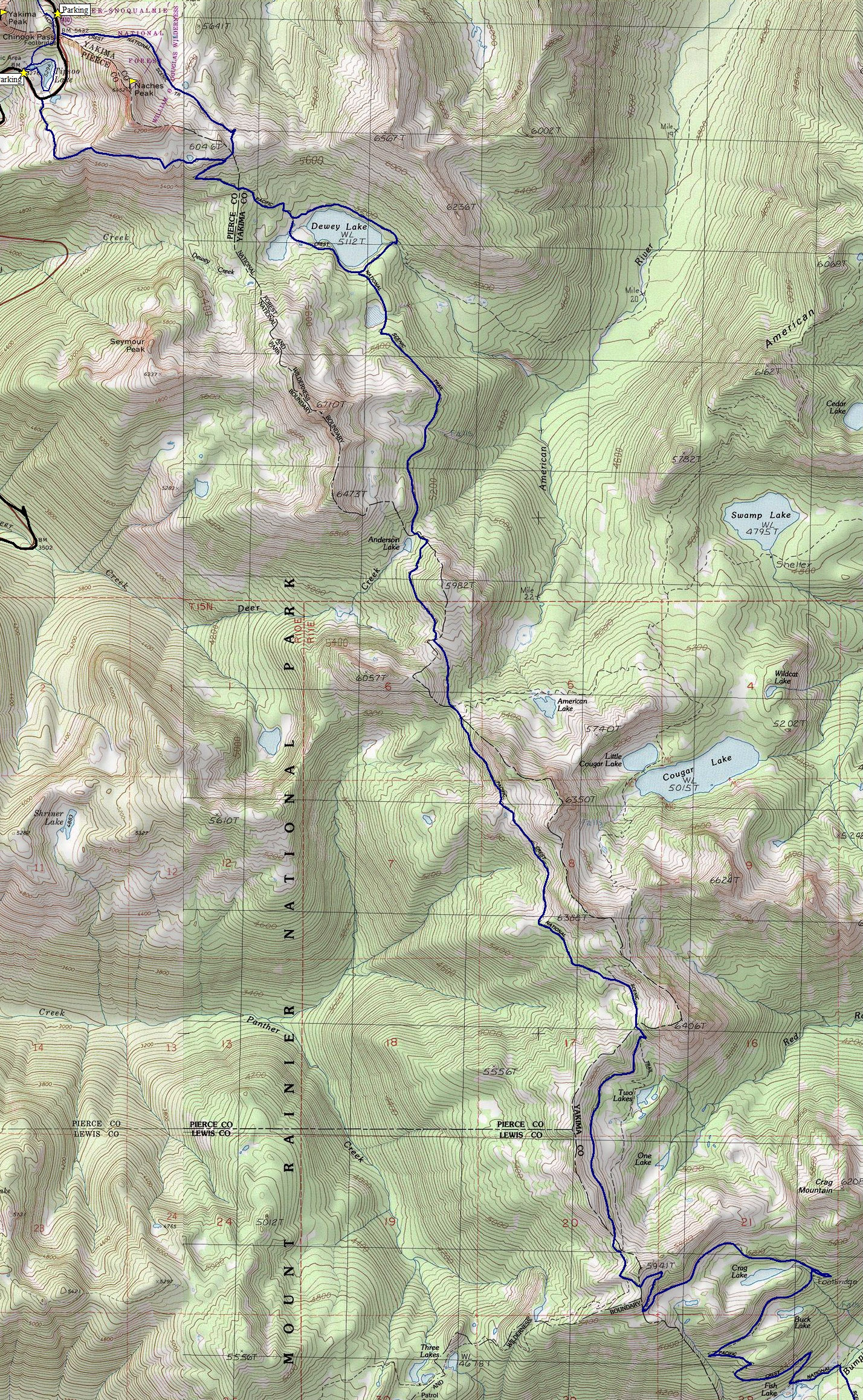
Pacific Crest Trail - White Pass to Chinook
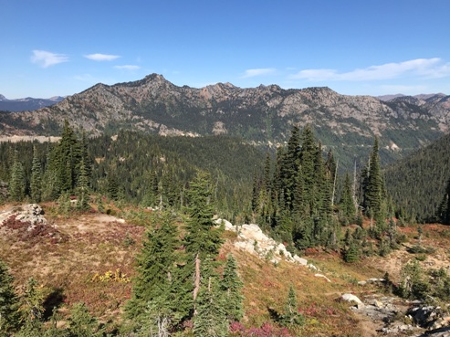
The shortest section of trail between major highways in Washington is the section between White Pass and Chinook Pass. The distance is only around 30 miles so it can easily be done on a three day weekend. Although short, it gives a nice slice of what the trail can offer. Half the route meanders through high forested lakes while the other half is on high ridges with sweeping views. Starting from Chinook Pass will require less elevation gain but for some reason we did it the other way. But on the bright side, starting from White Pass, the scenery unfolds and becomes more spectacular each day.
Distance: 28 miles
Elevation Gain: 2,500 feet
Access: Paved
Access:
The White Pass trail head is about a half mile east of the White Pass Ski area on Highway 12. The trail head is between Leach Lake and the Horse camp. The trailhead at Chinook Pass off Highway 410 is just on the east side of the pass on the north side of the road. Well marked with restrooms. Additional parking at Tipsoo Lake on the west side of the pass.

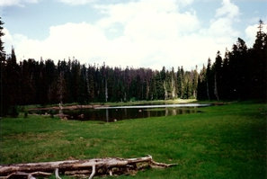
Below: the south section of this hike, one of the easiest parts in all of Washington
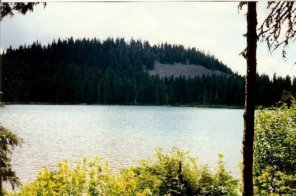
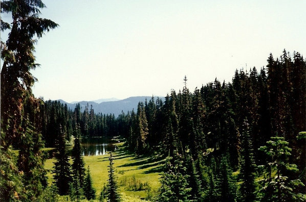
Above: Fish Lake - the start of the uphill section
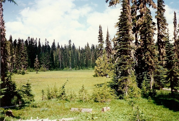
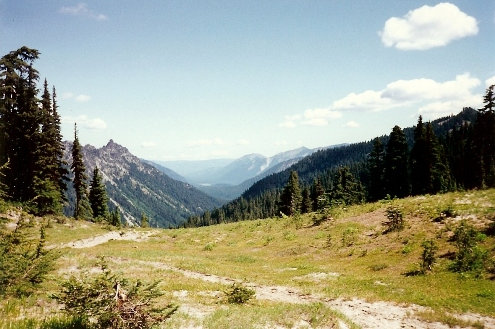
One of many, many meadows
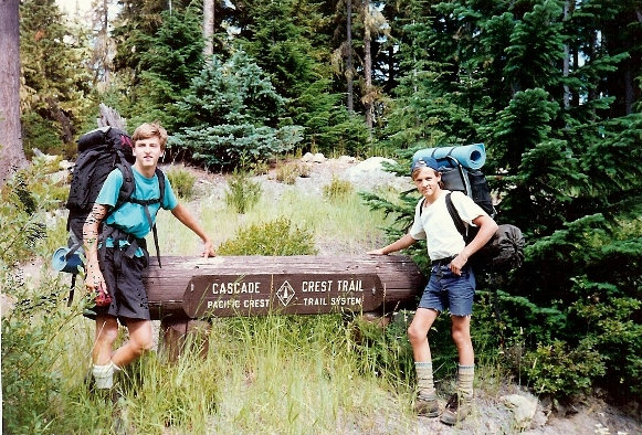
Starting at White Pass. My brother and I were just kids dropped off by our dad
Deer Lake
Sand Lake
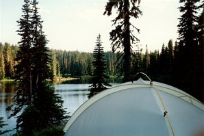
Camp
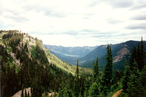
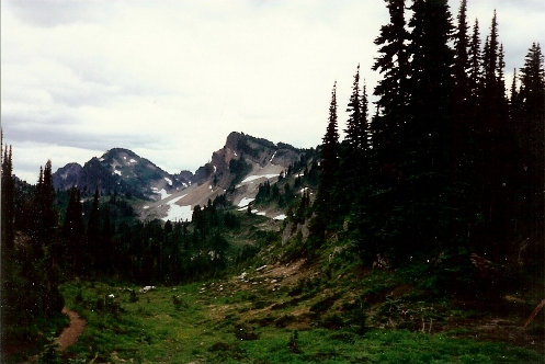
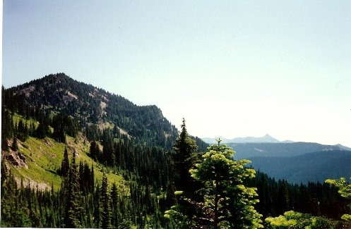
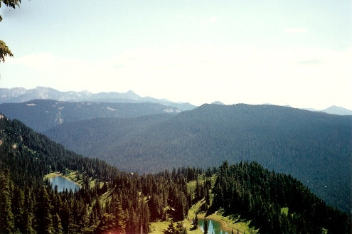
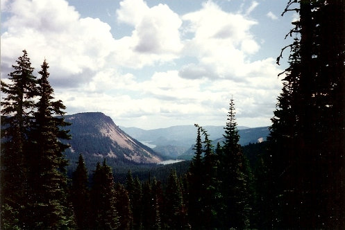
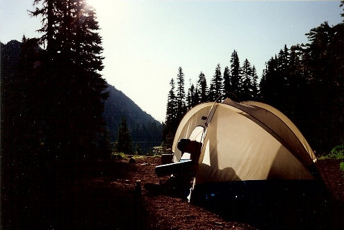
View back at White Pass area of Spiral Butte, Dog Lake and Rimrock Lake
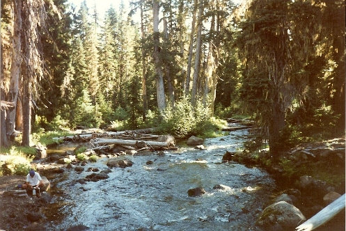
Purifying water on the Bumping River
Crag Mountain
Crag Lake
Looking east
American River Valley
Camping at
Dewey Lake
Highway in the distance
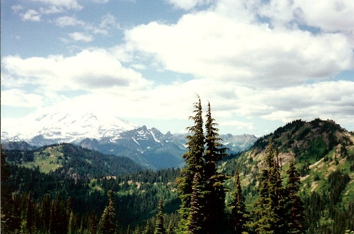
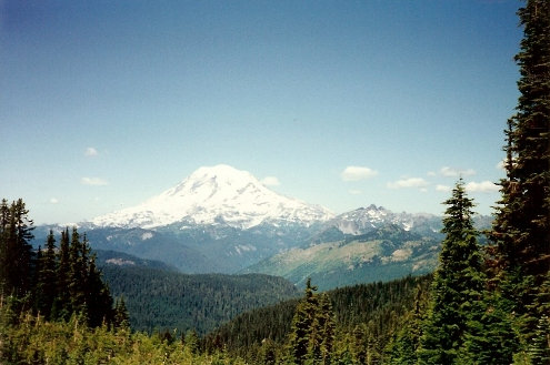
Mount Rainier
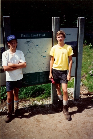
At Chinook Pass
On the trail
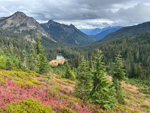
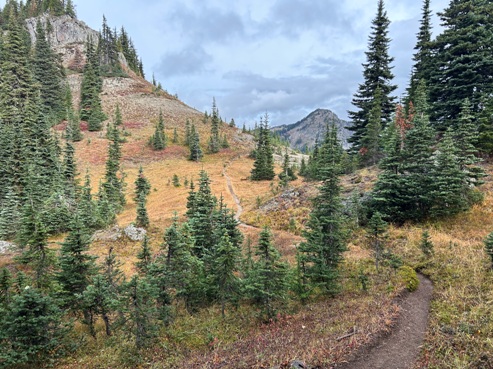
Two Lakes and Hyas Pishpish above
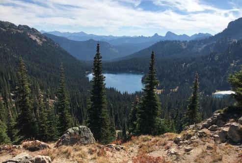
Dewey Lake


