From Seattle take I-90 to exit 32 (436th Avenue SE). Turn left (north) over the freeway and drive 0.5 mile to North Bend Way. Turn left, and in 0.25 mile turn right on Mount Si Road. The trailhead parking is at a school turn around, 3.5 miles down the road (one mile beyond the Mt. Si Trailhead). On the left is a gated road. Park & don't block the gate.
WillhiteWeb.com - Hiking, Climbing and Travel
Mount Teneriffe Road and Kamikaze Trail
Teneriffe is the big brother to Mt. Si. It sits behind Si, the most popular mountain in Washington, challenging casual and serious hikers alike. The elevation is a killer with Teneriffe, so is the mileage depending on your route choice. Most use one of three routes described below. Mount Teneriffe is part of the Mount Si Natural Resource Conservation Area, managed by the DNR. But, depending on your route, you might pass through a private in-holding near the summit that has been recently logged. This in-holding is the main reason there is a road up the back side of Mount Si, an easement held from long ago that just won't go away. The DNR would love to abandon this road. Mount Teneriffe makes for a good training peak. Nearby Mt. Si and Mailbox are much more crowded.
Distance: 5 to 10 miles
Summit Elevation: 4,788 feet
Elevation Gain: 3,900 feet
Access: Paved
Logging Road Route:
Access:
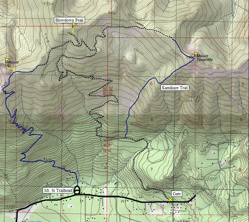
Although more miles, this route sticks to a steep road most of the way avoiding a very steep climbers trail. From the school bus turnaround, walk the road for one mile to a junction at 1,180 ft. Go left at the junction and continue up a series of long switchbacks. At a few road splits near the ridgeline you need to go right, print the map at the bottom of this page. From the saddle NW of Mt. Tenerriffe, go up the rough dozer road until you find an old trail that continues on the ridge to the summit.
From the school bus turnaround, walk the road for one mile to a junction at 1,180 ft. Go left at the junction and continue for another third of a mile. Look for a trail leaving the road at the downhill side of a small stream. This strenuous route scrambles up the SW ridge on a boot track. One highlight with this way is Kamikaze Falls at 2,400 feet. A few places require a sure foot placement.
Southwest Ridge Route: (Kamikaze Trail)
This is a long route but one often done by energetic hikers. Hike up to the top of Mt. Si via the Mount Si trail. From the ridge east of the Haystack, find a trail that goes east along the ridge to a logging road access. Follow old roads east below Blowdown Peak to the west ridge of Teneriffe. Go up the rough dozer road until you find an old trail that continues on the ridge to the summit.
Mount Si Trail Route:
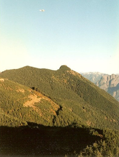
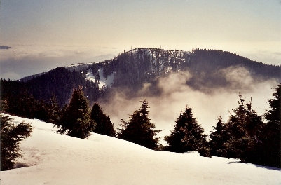
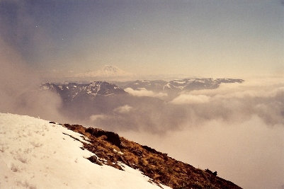
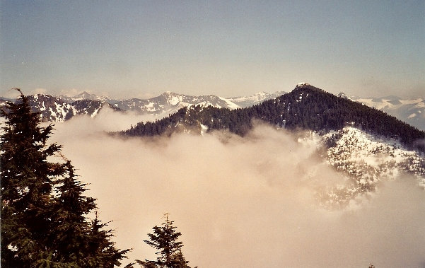
Blowdown Peak from Teneriffe
Mount Rainier from the summit of Teneriffe
Teneriffe from Dixie Peak area
Mount Teneriffe from Mount Si
Note: The Kamikaze Trail is not an official trail and has been "closed or discouraged" in past times, although the DNR has been building a trail to the falls but it may not be complete yet.
Kamikaze Trail is aprox., I have not done that route....just the road and via Si.


