WillhiteWeb.com - Hiking, Climbing and Travel
Little St. Helens
Little St. Helens is right off the I-90 corridor, a neglected peak sitting south of the highway in an old harvested area. Times change though, as there are new trails on the mountain on the network of old logging roads. As the trees grow back, expect Little St. Helens to become a very popular destination. The mountain bike community and the Forest Service has created the Hansen Creek Trailhead, formerly the Hansen Creek Gravel Target Pit. A mountain bike trail system has been developed for the area. From the trailhead, several routes can be used to hike up Little St. Helens using the network of trails. The unofficial name of this mountain comes from how it looks from certain perspectives when snow covered. It could also apply to how the mountain looked throughout the 90's when the entire north side was harvested bald....looking similar to the blast zone on big Mount St. Helens.
Distance: 4.5 miles
Summit Elevation: 4,582 feet
Elevation Gain: 1,200 feet
Access: Good Gravel
Route:
Access:
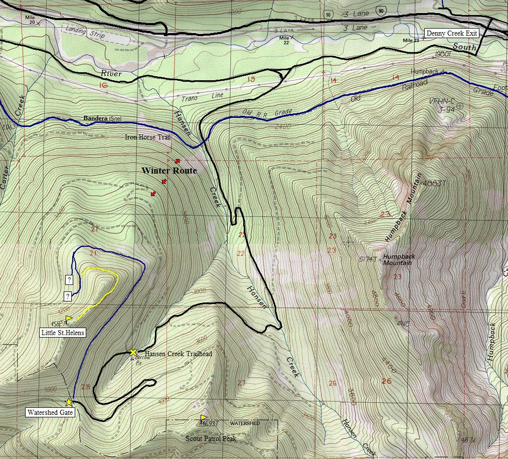
The routes may change as trails are being developed. One option is to hike the road for 1.7 miles to the Watershed Gate and pass. From there you could cross country up the ridge to the summit. For a trail, follow the bike trail along the eastern side of the mountain from the pass. It climbs at first then is quite level as it works to the north side then the west side. At a trail split, turn left uphill climbing to another old road. At the highest point on the trail look for an old abandoned road cutting back going back around the north side of the summit area. Follow the road to the ridge top and a bit more south to the summit. The very top is just feet into the small trees but before the small stand of mature trees.
Another option is to take the bike trail from the Hansen Creek Trailhead that starts around the north side of the mountain. It will eventually hook up with the trails on the west side of the mountain in the route described above. I cant show these on the map yet as they were just put in but maps should be available soon.
Take I-90 east to exit 47 (the Granite Mtn/Lake Annette exit). Go south of the overpass, over the river to a T intersection. Turn right on the Hansen Creek Road. Follow it for 1.3 miles and turn left. Follow for another 4 miles to the Hansen Creek Trailhead (formerly the Hansen Creek Gravel Target Pit).
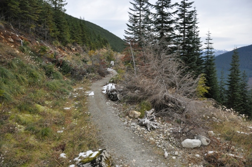
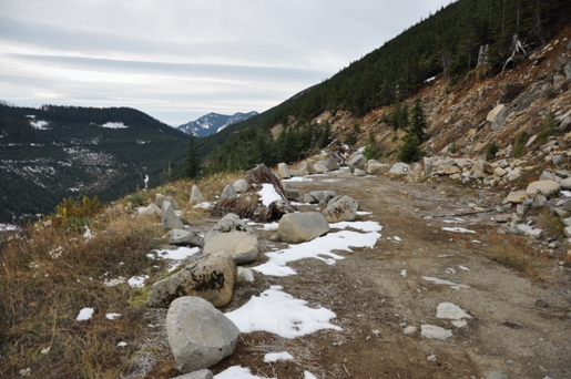
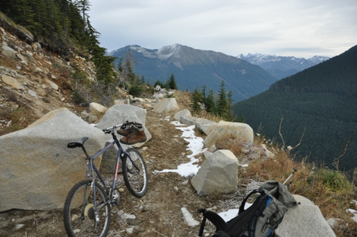
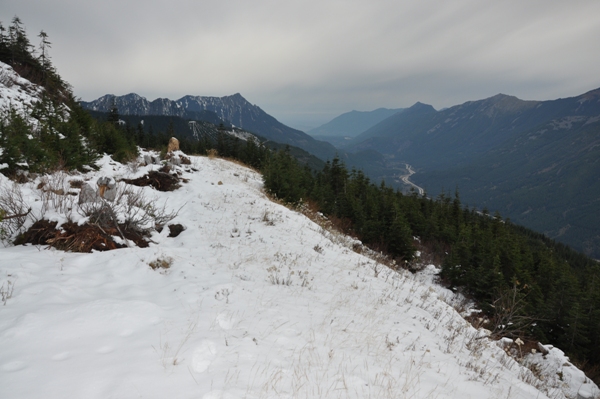
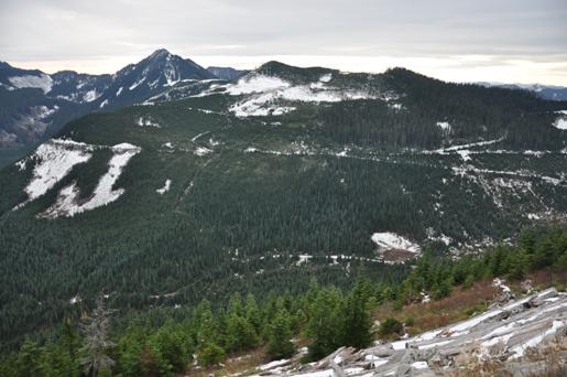
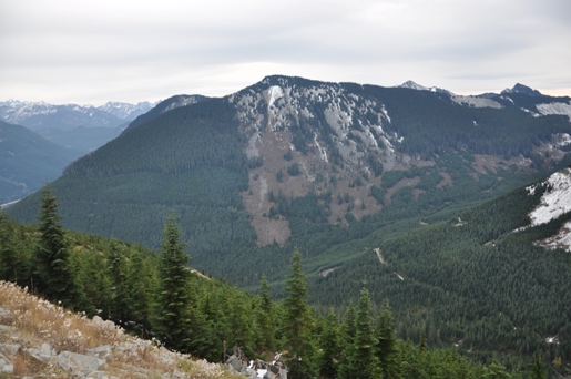
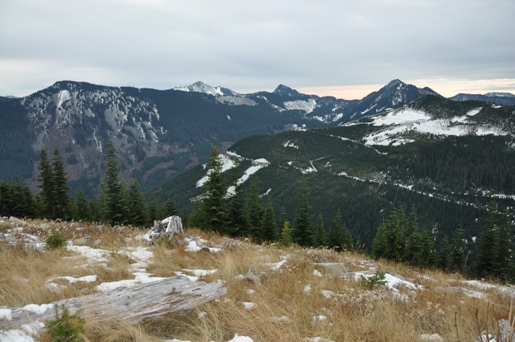
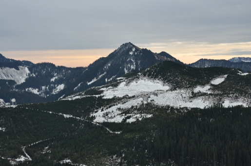
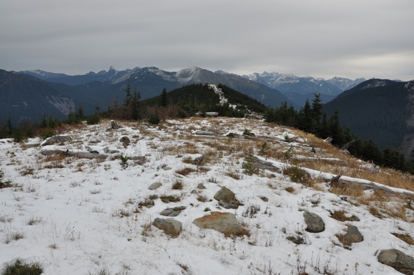
Hansen Creek Trail
Hansen Creek Trail
Hansen Creek Trail
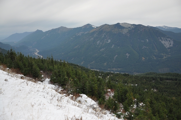
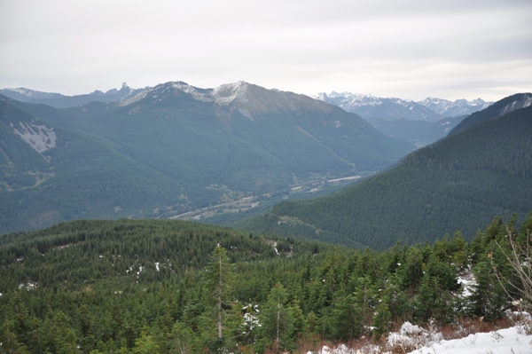
Looking down the I-90 corridor
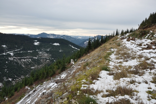
On the abandoned road to the summit of Little St. Helens
Bandara, West Defiance area
Scout Patrol Peak and Mount Baldy(Bearscout)
Mount Baldy(Bearscout)
Looking north from the summit
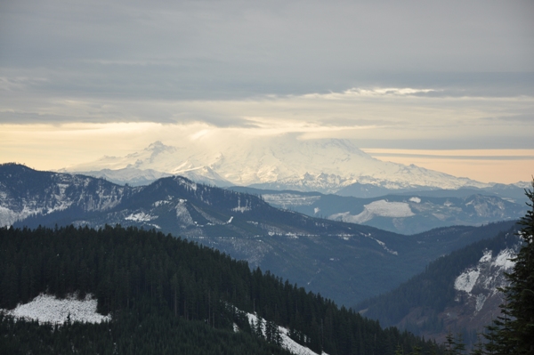
Mount Rainier
Humpback and Silver Peak on left
Humpback Mountain
Looking NE to Snoqualmie Pass
Winter Route:
Drive the same access as far as possible. When the road goes under the railroad trestle (Iron Horse Trail), scramble up the hillside to cross over the trestle. On the other side, snowshoe the NE ridge of Little St. Helens to the summit.


