WillhiteWeb.com - Puget Sound Parks
Salmon Creek Ravine Park
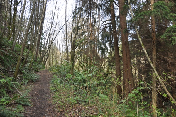
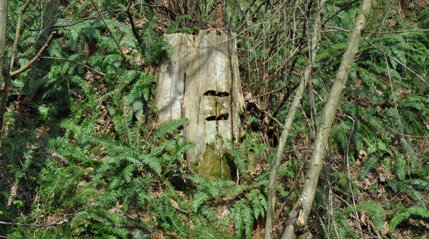
Salmon Creek Ravine Park is undeveloped and unknown. Only the locals will know about this hidden wooded Ravine, in a very urban and developed area. Several trails pass through the park but there are no signs and with no map, you will be hiking blind. You won't find any large trees but the maples and alders can be very nice. The big trees were logged long ago with evidence showing in the large springboard notches of old stumps. Some of the trails are the original route of skid roads that slid the logs down to Puget Sound. Trails skirt a surprising amount of small ridges and interesting gully features. Look for bald eagles, raccoons, red foxs, muskrat bats, ospreys, otters, and grey squirrels.
Access:
Shorewood Drive Salmon Creek Trailhead
Shorewood Drive Upper Trailhead
The SW 124th Trailhead
On weekends, you can park near the old gate to the left of the Sewage Plant Gate. During the week, it may be blocked. You can park up the hill a bit off to the side.
This trailhead is off a short spur road at a sharp curve on Shorewood Drive. At the end of the spur, there is room for 2 cars at the county gate.
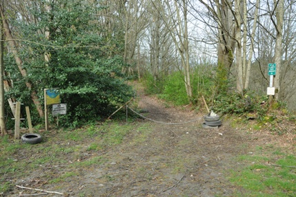
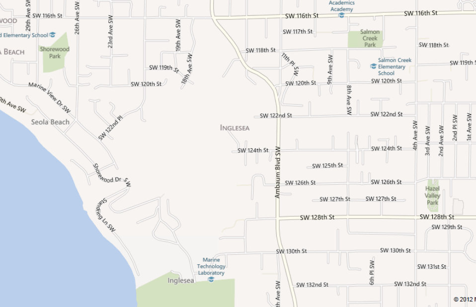
This trailhead on the Burien map is a bit unusual. You may not feel comfortable parking here although there are several spots. At the end of SW 124th, west of Ambaum, drive to the end where you hit a private looking driveway (which it is). Drop down this road to the King County parking area on the right.
Hiking:
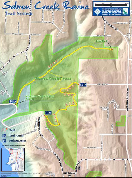
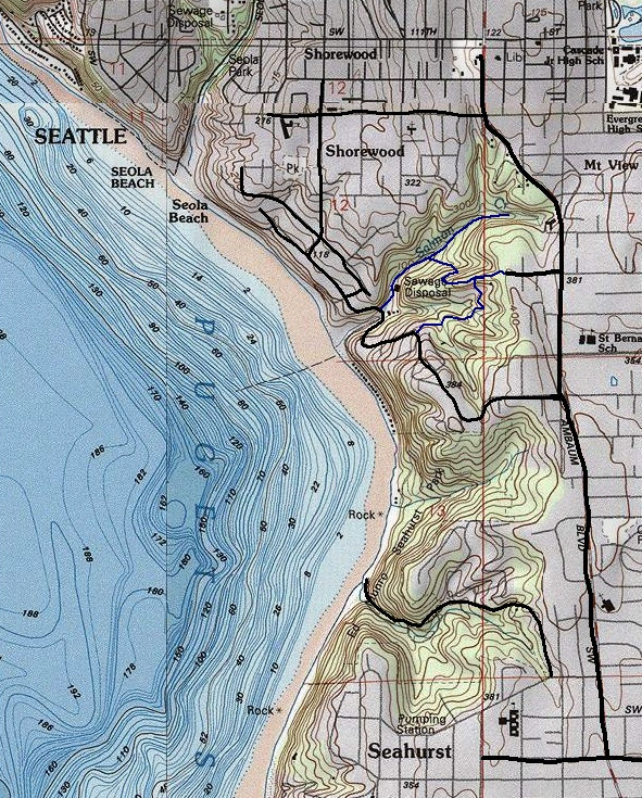
There are two main trails and several side trails. These two trails are shown on the official Burien Parks map. There is also a connecter trail (shown on the topo map) but it is not as nice and needs some work. Look for the trail from Salmon Creek Trail branching off where Earthquake Creek crosses under the trail. The longest trail follows Salmon Creek from Shorewood Drive to nearly Ambaum. This trail follows the sewage line and can smell. My kids call it the poopy trail!
What happened to the Salmon?
Salmon Creek was originally a four mile stream draining the White Center plateau. It supported sea-run cutthroat trout, coho, chum, chinook salmon and steelhead. In the 1940s, Joe Burke operated a small sawmill in Salmon Creek Ravine down near Shorewood Drive. He logged the area and installed a water wheel and power plant to supply electricity. Then, next to his home, to eliminate the smell of dead fish after the spawn, he placed a rock at the mouth of the stream blocking salmon migration. Today, similar issues including a culvert under Shorewood Drive prevent the fish from getting to the salmon habitat in the ravine.
Historic Trail:
According to the Burien website, on weekends around 1930's, people rode the streetcar out from Seattle and got off at the Salmon Creek Grocery near 116th and Ambaum, where they bought refreshments and followed Salmon Creek down to Puget Sound. Currently there is no public access to the beach from Shorewood Drive.
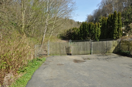
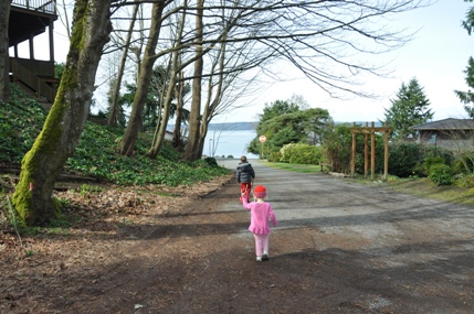
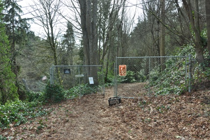
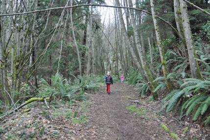
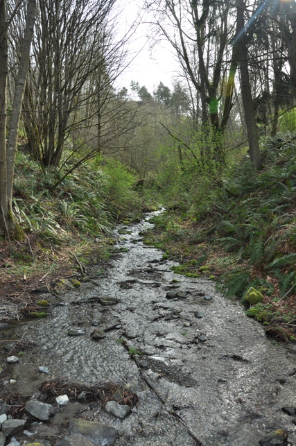
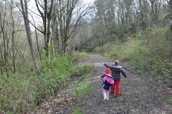
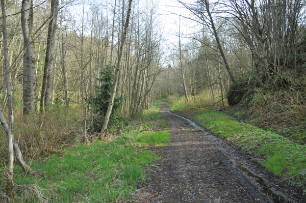
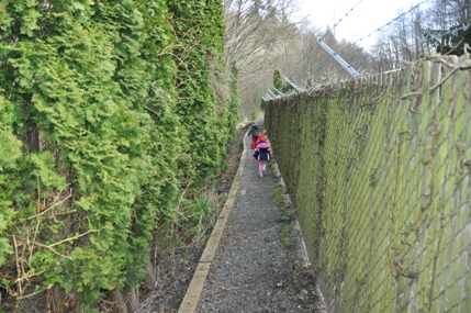
Shorewood Drive Salmon Creek Trailhead
Walking along side the sewage plant
Earthquake Creek where it hits the Salmon Creek Trail
Salmon Creek Trail
Salmon Creek Trail
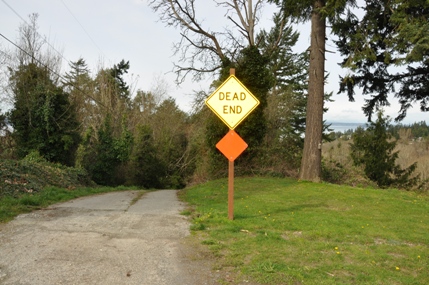
Shorewood Drive Upper Trailhead
Shorewood Drive Upper Trailhead has a view if you walk out to the stop sign
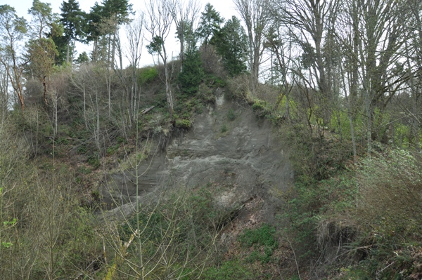
The Nisqually earthquake on February 28th, 2001 caused a massive landslide in Salmon Creek Ravine. A new creek, dubbed Earthquake Creek, was tapped from the aquifer and tripled the volume of Salmon Creek.
Springboard notches in an old cedar stump
Trail near the Upper Shorewood Drive Trailhead
SW 124th Trailhead
End of SW 124th, trailhead is down this roadway
Upper trail
Topo map of the area with trails in blue
Salmon Creek Ravine Park
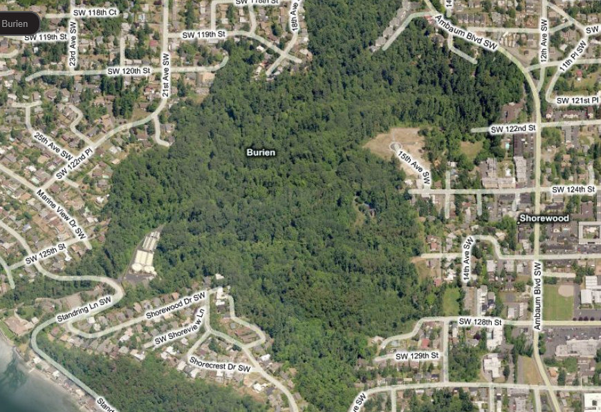
Below: an aerial view of the park area


