I do not have anything to encourage you to visit these highpoints other than satisfying your own curiosity about seeing these two islands. Make it a family trip, kids love the ferry ride. Both are easy to access. The Mauri highpoint is located in Maury Island Marine Park, which has a 3 mile hiking trail, including one mile of natural shoreline with views of Rainier and the Cascades. The park is a former gravel mine and contains rare stands of the Pacific madrone tree and a salt marsh at the north end.
WillhiteWeb.com - Hiking, Climbing and Travel
Vashon Island & Maury Island Highpoints
Distance: Drive-ups with short trail on Maury
Summit Elevation: Maury is 492 feet, Vashon is 456 feet
Access: Paved
Vashon Island Highpoint
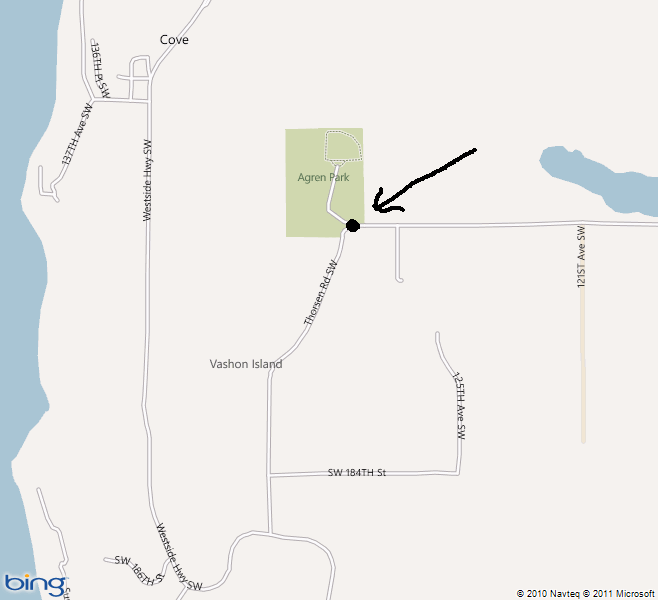
The Vashon Island Highpoint is located at the entrance of Agren Memorial Park, a 30 acre multiuse sports park and terrestrial conservancy located on the west end of Vashon Island. The heavily wooded property has a mile of walking and horseback riding trails that meander through dense conifer stands. Go to the intersection where SW Bank Road curves southward and turns into Thorsen Road SW. This is the entrance to Agren Memorial Park and there is plenty of parking right there. Somewhere in the area is the highest spot, possibly just left of the entrance by some rocks, or just right of it at the base of a tree.
Maury Island Highpoint
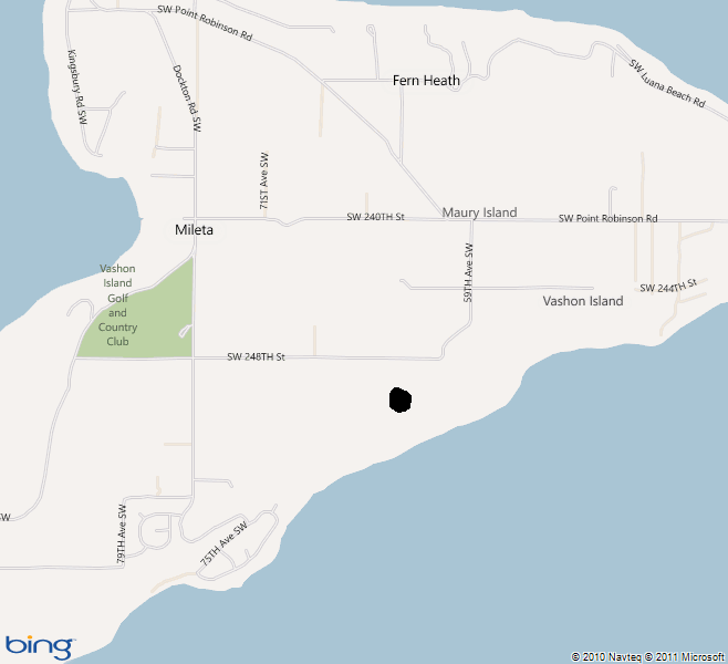
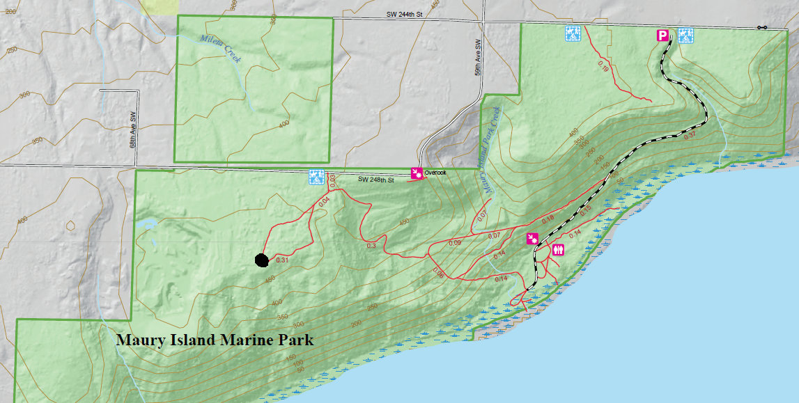
To get there, once on Maury Island, head south on Dockton Road SW, east on SW 240th Street, south on 59th Avenue SW, and east on SW 244th Street. There is a parking lot and trail access on SW 244th Street. For the beach hike, from the parking lot to the beach, it is a three-quarter mile walk down a gravel maintenance road. The highpoint is much shorter. At the corner where the Lavender Benchmark is located, there is a viewing platform with interpretive signs. Walk west on 248th street looking for a gated, grassy road with a King County Parks sign. There is parking for a couple of cars, just do not block the gate. Walk the gated road, turning right at the first intersection. (Left goes down to the beach). At a second trail split, go either way, the loop merges right at the highpoint area. Once there, the spot is not well defined so take your best guess and head back.
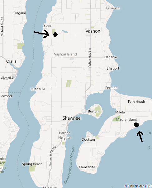
Showing the location of the two highpoints
Showing the location of Agren Park on Vashon Island
Showing the location of Maury Island Highpoint with nice trail map below
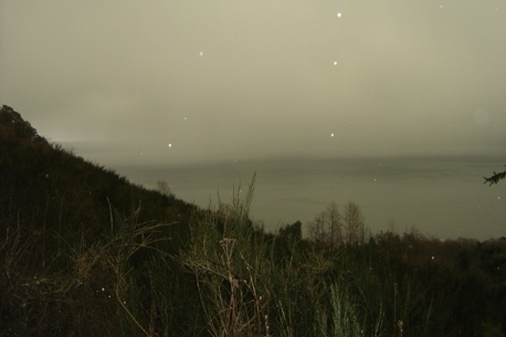
The one picture I took from the trail to Maury Island Highpoint
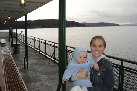
On the Vashon Ferry in route to Vashon Island


