WillhiteWeb.com - Hiking, Climbing and Travel
Sometimes the smallest hills are the hardest to climb. Union Hill is one of these. First it should be noted that there are 4 spots contending to be the highest point. The easiest one is accessible by vehicle, on a private dirt road off the Union Hill Road. The private road is not gated and most peakbaggers probably just drive down the road to the highest spot, then turn around and leave the area. I would have done the same but I made the mistake of not realizing there were so many contending highpoints. I put all my attention into finding how to reach the largest contour of the four.
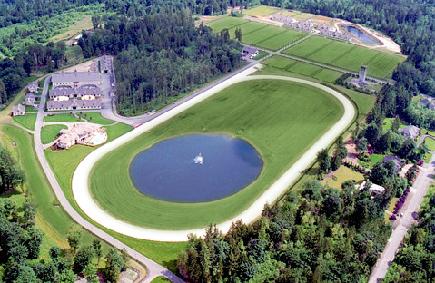
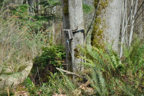
Access is difficult, the highpoint is between two private properties. To the north is The Pegasus Training and Rehabilitation Center, a mega huge horse thoroughbred training facility. To the south was forest land but fortified with no trespassing signs all along Union Hill Road. I decided to write the landowner of the property, Evergreen State Tree Farms. The owner turned out to be Eddie Bauer Jr., the son of The Eddie Bauer. He was awesome, calling me right away, and gave me permission to access the property. Good thing, because during the hike I passed at least 3 motion cameras. I hiked the two major roads, the highpoint is somewhere near the north property line, which is well marked with stakes, poles and cameras. The other two highpoints inside of Pegasus seem unlikely candidates but maybe someday I'll find a contact inside there.
Union Hill
Distance: 0 to one mile
Summit Elevation: 670 feet
Elevation Gain: 0 to 200 feet
Access: Paved
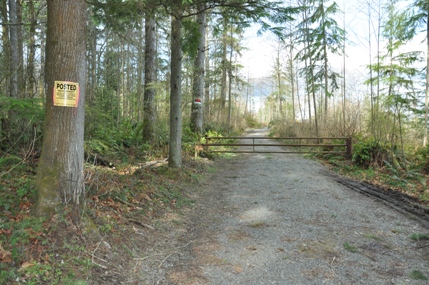
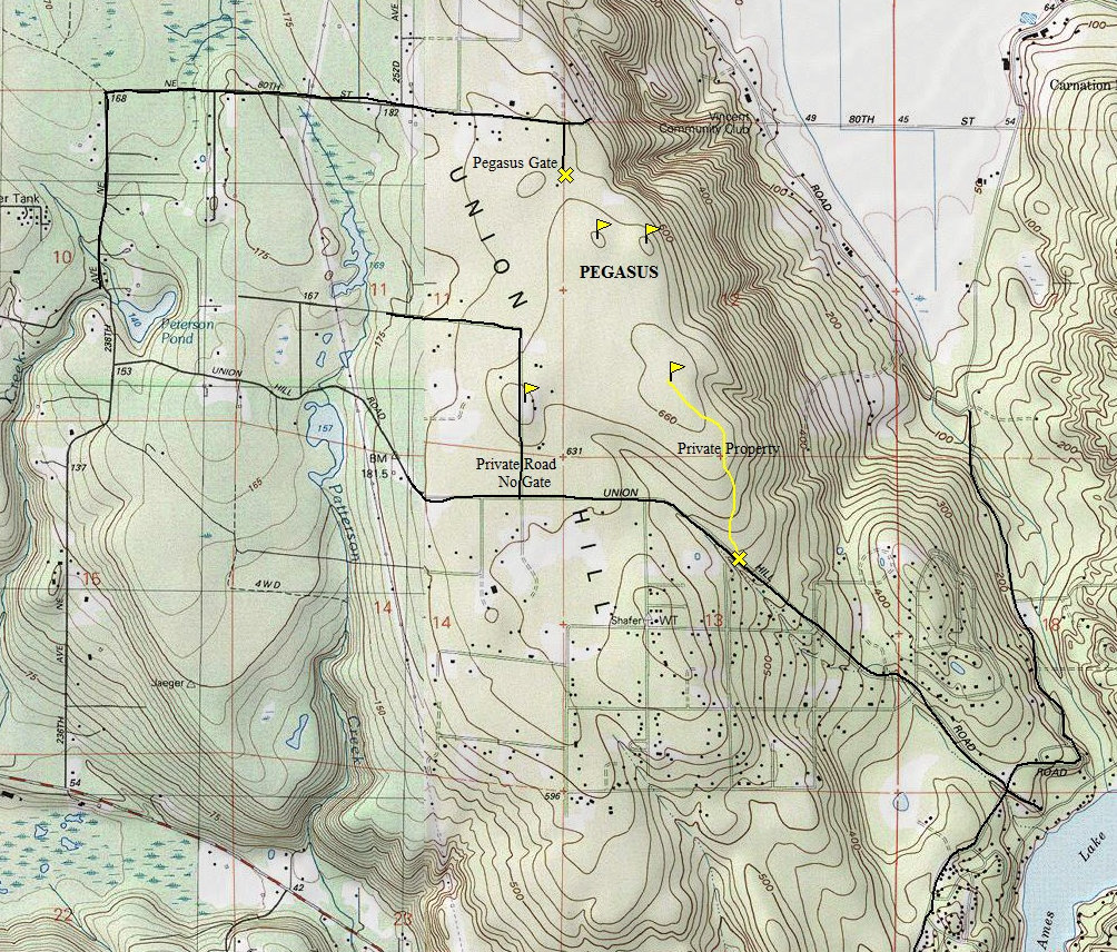
The private access road from the south
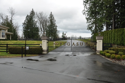
The Pegasus Training and Rehabilitation Center
Camera on a tree
The Pegasus entrance gate from the north
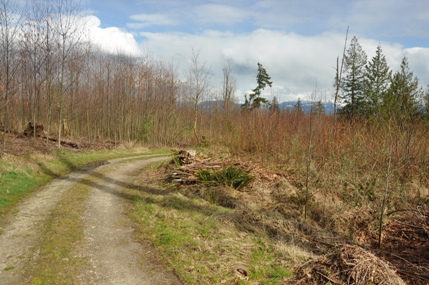
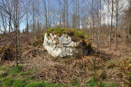
Interesting glacier deposited rock
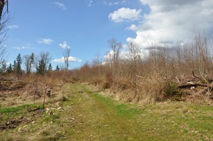
Property Line between Pegasus and Evergreen State Tree Farms
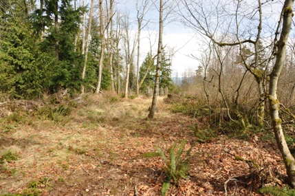
"Left" Road to nowhere
"Left" Road to nowhere
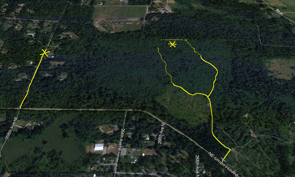
I first went left but that road went to a highpoint and started dropping before the property boundary. The right fork in the road ended and a old landing but a trail worked up to the property line, which was well brushed and marked.
This road above goes right over one of the four highpoints.
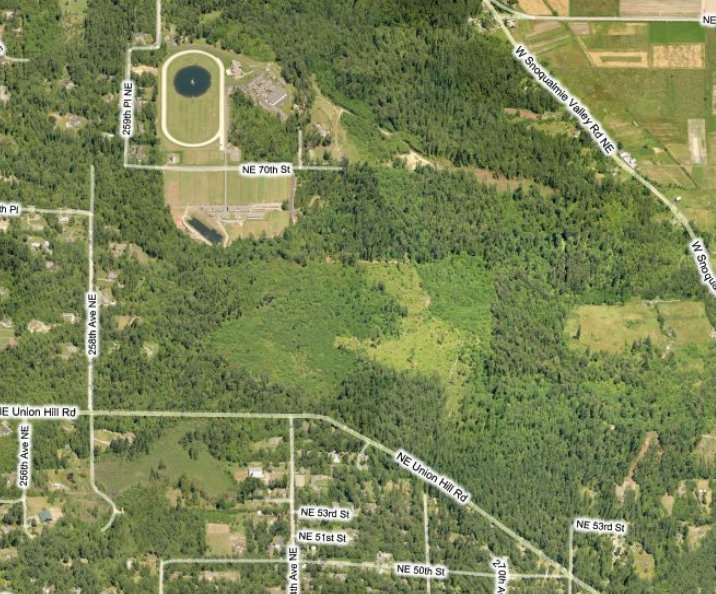
Another view


