The Tulalip Hill Highpoint is another one of those places you visit and say to yourself, why am I doing this hobby again? Combine it with the nearby Wenburg State Park or Kayak Point Regional Park if that makes you feel better. The highest point is on private property, you'll need to travel up a private driveway and act lost. Most agree the point is near some ovious water towers. They may be a bit north of the actual spot. Most just visit this way, turning around at the end of the driveway. You can get a bit more exact by hiking through the woods (see trip report below by JR).
WillhiteWeb.com - Hiking, Climbing and Travel
Tulalip Hill Highpoint
Distance: Drive-up
Summit Elevation: 610 feet
Prominence: 495 feet
Access: Paved/Private
Access:
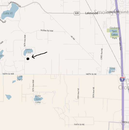
From I-5, take the 116th St. (Exit 202) or the 172nd Street NE (Exit 206). Follow the map to the location just south of Loma Lake.
Quadruple Quad High Point Grand Slam
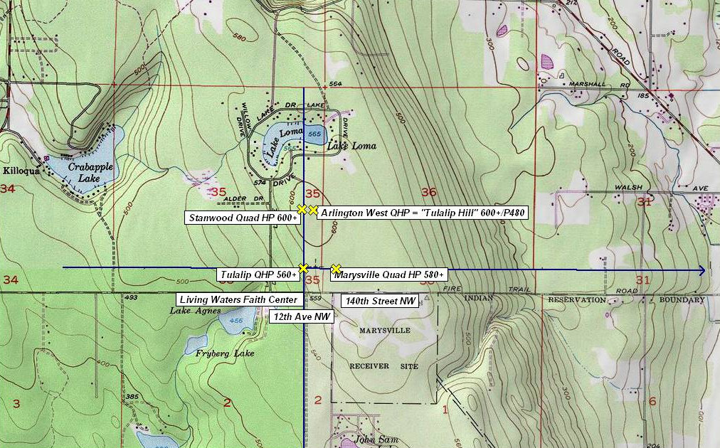
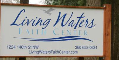
There is something interesting about this area. The highest point of 4 different quad maps are all in the same general area here. JR has been climbing these highpoints, he calls the activity "Quad High Pointing". I'm in no way endorsing this kind of behavior but if you reach the thousands mark for peaks climbed in Washington, you go right ahead. Here is how he did it. Go to the Living Waters Faith Center Church on 140th St NW ( Fire Trail Road ) at 12th Ave NW and head straight north into the woods, then follow your nose. Truth be told, doing these 4 tightly-packed QHPs was more impressive on paper than in real life. Still amusing. There are no peaks on these quads except the Tulalip Hill Highpoint.
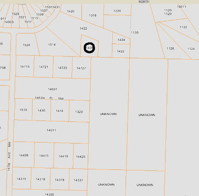
Below is the map made by JR to do the Quadruple Quad High Point Grand Slam
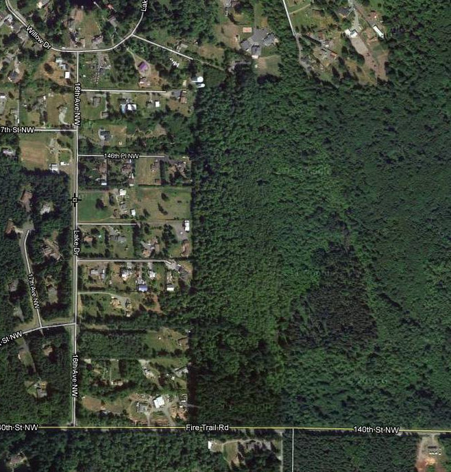
Lots of private property here, the forested parcels shown as "Unknown" are owned by MCDOUGALL LLC. I circled the parcel with the water towers owned by the public utility district.
Living Waters Faith Center Sign
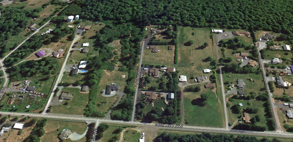
Google Earth view from the west looknig up the private drive


