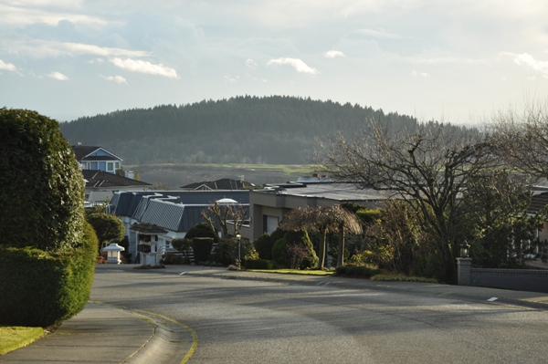
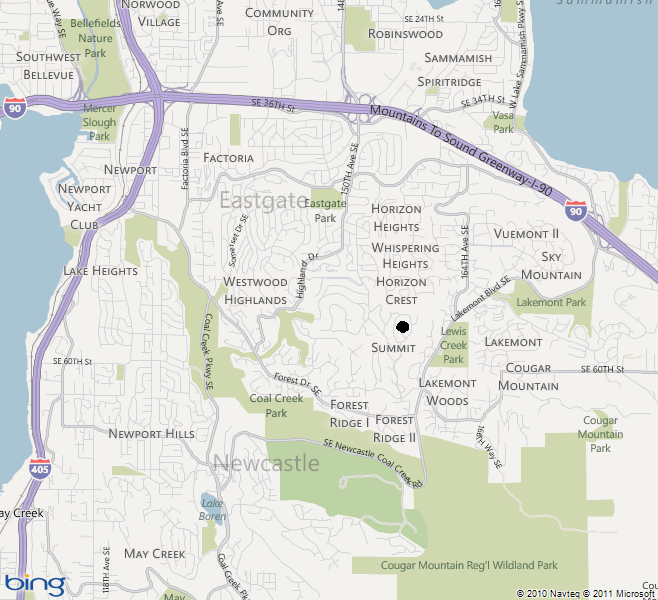
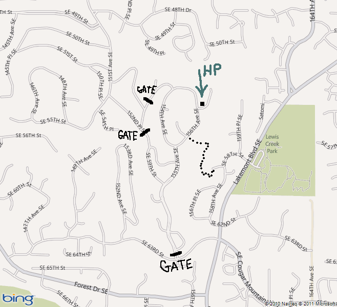
The Summit highpoint is located in a gated community protected by a gate and guard. Don�t let that stop you, there are other access options. A city hiking trail works its way up to the summit, inviting foot traffic visitors, just your vehicle is not invited. The highest spot rests underneath two large houses but standing at the sidewalk, I think you are at the same height.
WillhiteWeb.com - Hiking, Climbing and Travel
The Summit
Distance: 0.8 miles
Summit Elevation: 1,189 feet
Elevation Gain: 600 feet
Access: Paved
Access:
Route:
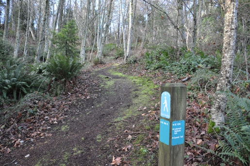
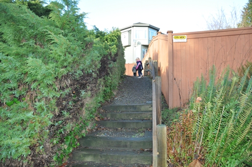
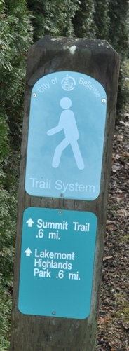
Pass between the houses to a trail split. Follow a sign saying turn right for the summit. Hike steeply for a short bit, and then it levels off. Make another right, go a few minutes, then a left turn at another split with a sign saying to 156th Ave SE. The final bit of trail is on wood stairs. You pop out right on the street below the highpoint. Turn right, walk up the sidewalk until the top of the hill, where SE 54th Street goes right. Across the street is the highest point. But don�t turn back. Do the entire road loop on top for views in all directions, between and over the houses.
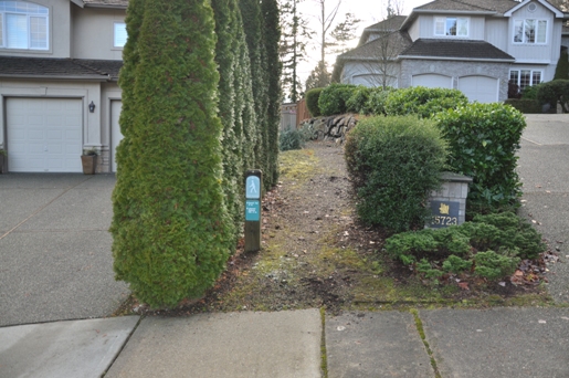
From I-90, take exit 13 and go south on Lakemont Blvd SE. After a few miles, turn right on SE 58th street into a neighborhood. Turn at the second right onto a short dead-end road. Look for a narrow trail easement between houses. Park on the street here.

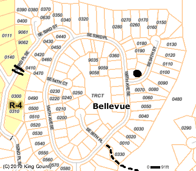
Highpoint on these lots
Gate - old water tank access road
Trail to The Summit
The trailhead between the houses
Take a right at the first few turns
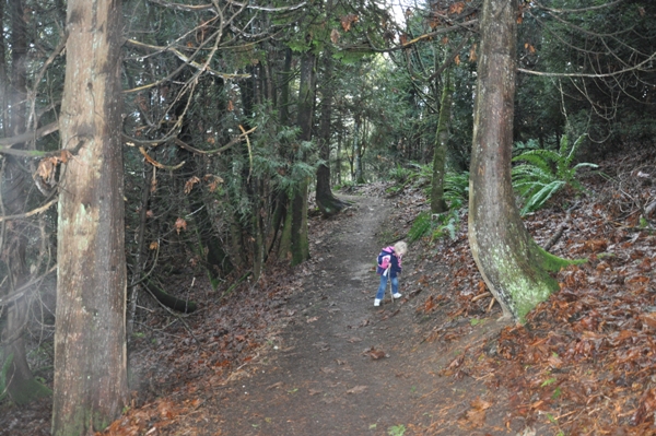
Not a bad trail for a city hike
Trail to 156th Ave
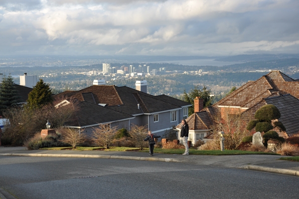
Bellevue from just north of the highpoint
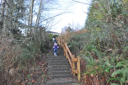
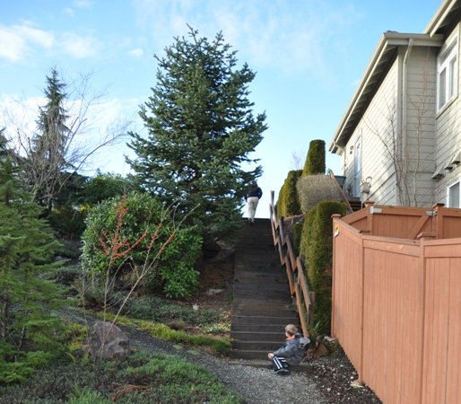
Climbing up to the houses
Another easement between homes
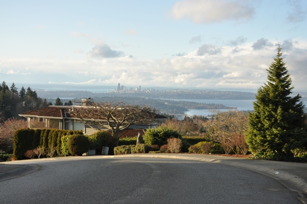
Seattle from the loop road
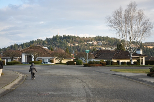
Marshall Hill, another Puget Sound Highpoint
The final steps to the road
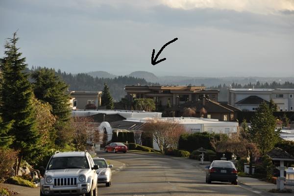
I believe that is Cedar Mountain, the highpoint in McGarvey Park
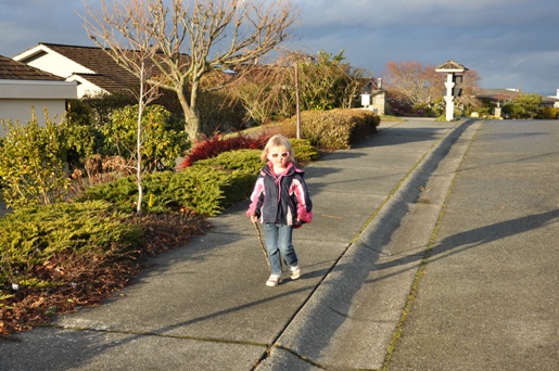
Mckinley, still with her hiking stick
Cougar Mountain, Reichert's Hill, AA Peak
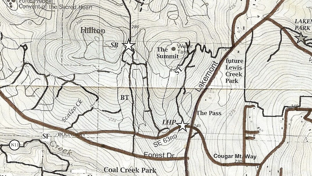
Above is the most current road map showing the trail. Below is an older map I forgot I had until afterward. It shows all the trails all though SE 58th is not shown.
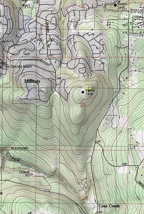
The Summit Topo Map before the roads were put around the summit
Plat map of The Summit area
The Clubhouse


