WillhiteWeb.com - Hiking, Climbing and Travel
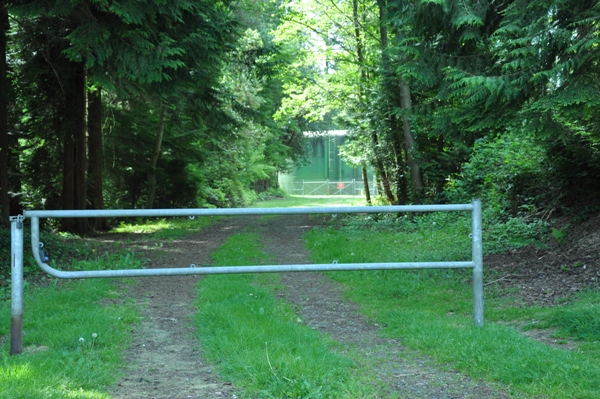
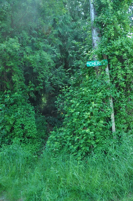
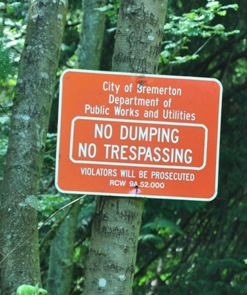
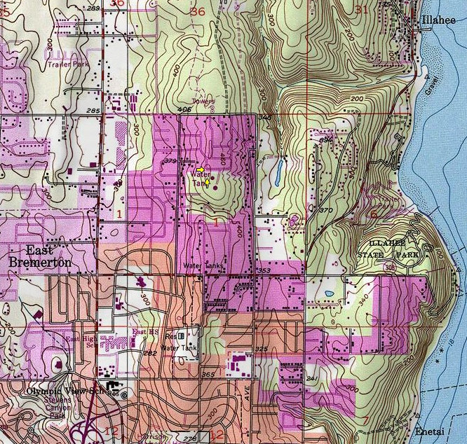
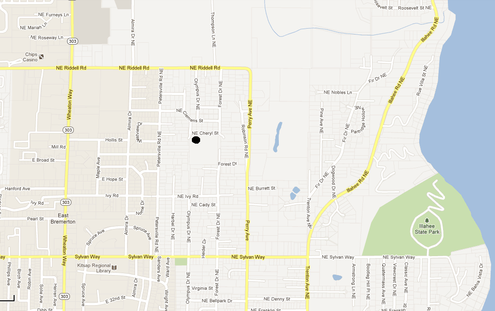
This highpoint of East Bremerton is owned by the City of Bremerton Department of Public Works & Utilities. The property holds some large water reservoirs. Luckily, the highest contour is not occupied and lays just off the public road. The contour actually crosses over the road but there is clearly some higher ground just off the road to the south. Although there are some no trespassing/dumping signs, neighbors clearly mock this as a trail goes into the woods where you find the neighborhood compost dump. The trail leaves the road at the corner of Cheryl Street and Olympus Drive. It only takes a few seconds to get in and out. Further down Cheryl Street is a road to the water towers but it is lower. No views here although some surrounding neighborhoods have some great views of the Olympic Mountains.
Illahee Highpoint - Bremerton
Distance: Drive-up, with a few feet into the woods
Summit Elevation: 490 feet
Prominence: 380 feet
Access: Paved
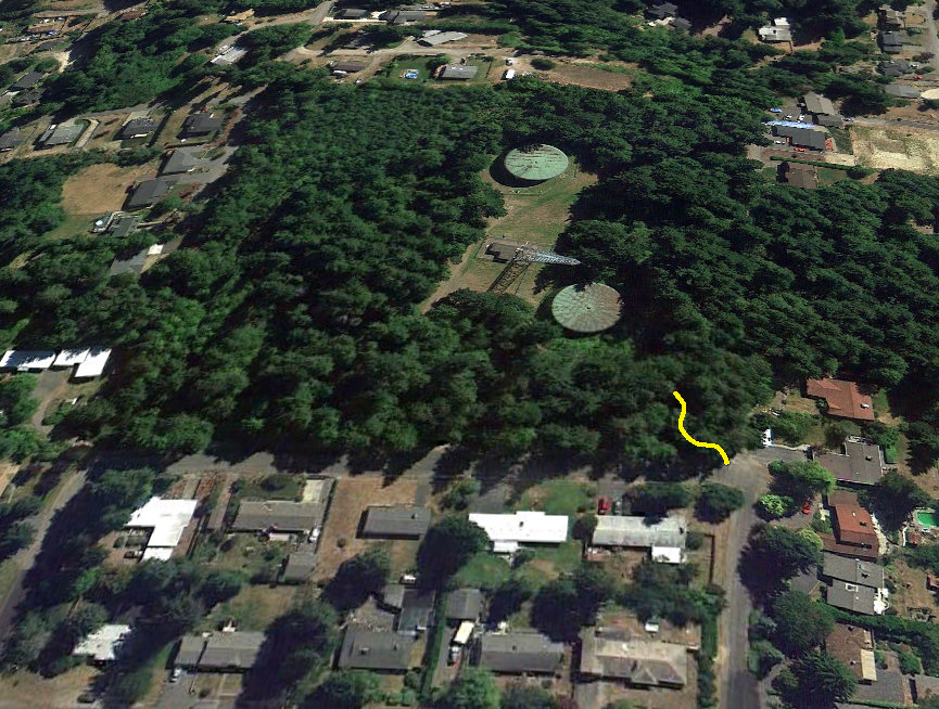
Aerial View looking from the north
NE Cheryl Street
Topo Map showing highest contour just to the NW of the water tanks
Sign off NE Cheryl Street
The road to the water tanks
The trail at the corner of NE Cheryl Street and Olympus Drive


