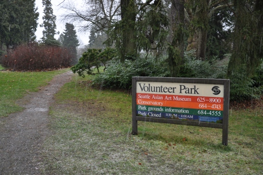
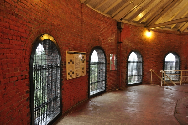
Capitol Hill is one of the most interesting highpoints in Washington State. The spot is inside Volunteer Park which has long been celebrated by Seattle. In 1906, the water department built an observation tower over and around a water storage tank. It was built right on the highest spot, a tourist attraction and highpoint combined! The tower has 106 steps that lead visitors to the top where there are sweeping views of the surrounding area. Inside there is information on the Seattle Park system and the Olmstead Parks legacy. It is nice to finally enjoy a highpoint with thousands of others.
WillhiteWeb.com - Hiking, Climbing and Travel
Capitol Hill - Seattle
Distance: Drive-up
Summit Elevation: 451 feet
Elevation Gain: 100 feet
Access: Paved
Access:
From I-5 Northbound, take the East Olive Way Exit (exit #166) Bear right on East Olive Way. East Olive Way merges into East John St., East John comes to a T at 15th Ave E
Turn Left on 15th Ave E., In about 3/4 of a mile, the entrance to Volunteer Park will be on your left.
From I-5 Southbound, exit at Bolston Ave/Roanoke St (exit #168A), turn Left on E Roanoke St., Cross I-5, and merge into the right lane. Turn right at 10th Ave E., turn left onto E Boston Street. E Boston becomes 15th Ave E., The entrance to Volunteer Park will be on your left (approx 1/2 mile from 10th Ave E.)
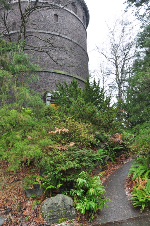
Trail to the north entrance from the parking areas
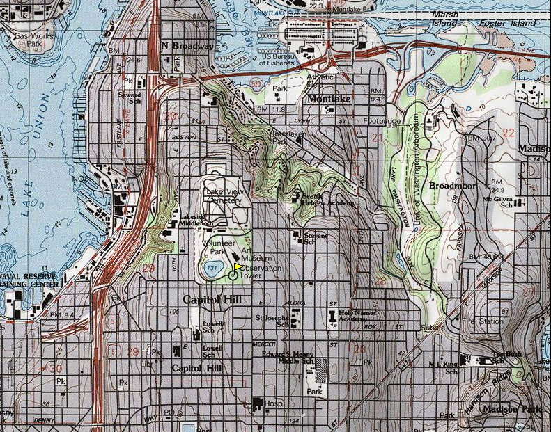
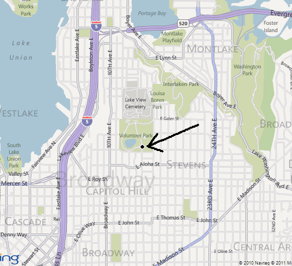
Location of Volunteer Park
Topo of Capitol Hill
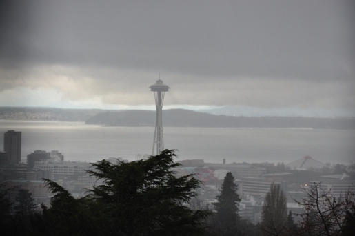
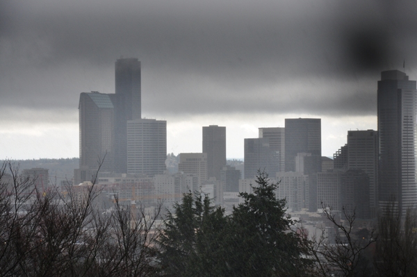
Zoom shot of Seattle through the window bars
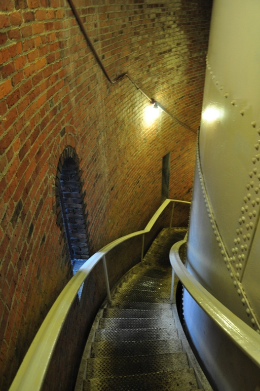
The stairs going up the water tower
Inside the lookout
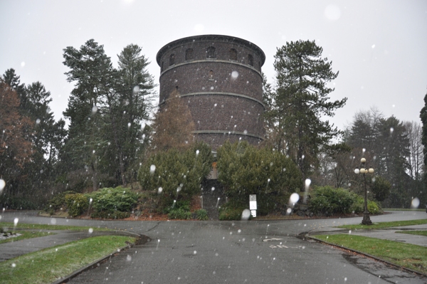
The lookout of Capitol Hill during a snowfall
Zoom of the Space Needle through the bars of the windows
Volunteer Park phone numbers for other things to do there like the free conservatory


