
www.willhiteweb.com - Hiking, Climbing and Travel
Camano Island State Park
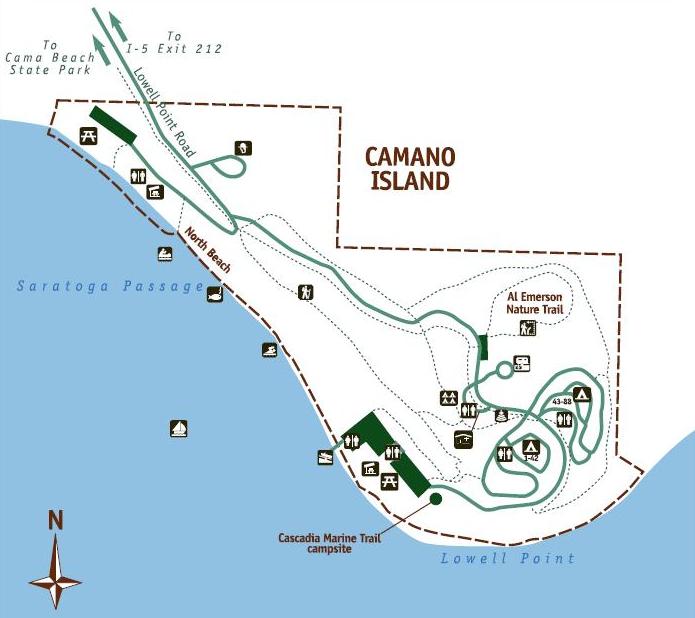
Camano Island State Park is the best hiking destination on the island. With around 134 acres and well over a mile of rocky shoreline beach, a large loop hike can be done. Just be sure to have a map for the maze of roads and trails. A shorter hike would be the Al Emerson Nature Trail, a half mile interpretive loop off the main park road. Camano Island State Park provides good views out to the Olympic Mountains as well as the Saratoga Passage Whidbey Island. There is also a large campground if you are looking for a close to home location. You could start your hike from just outside the entrance where there is parking if you want to avoid fees.
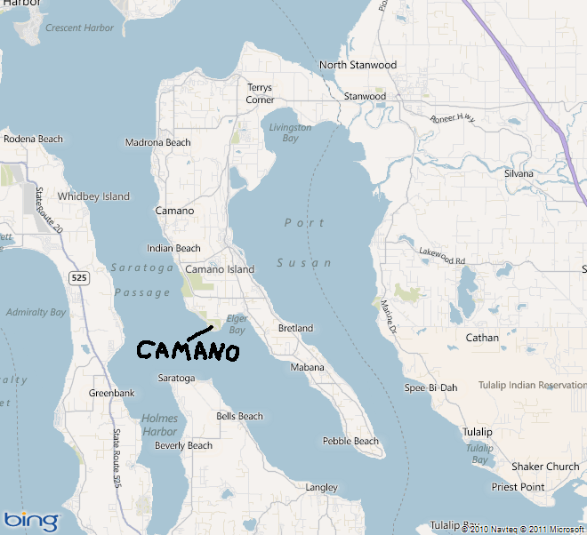
From I-5 take exit #212 and head west on Hwy. 532. Pass through Stanwood and cross the flats onto the island. About three miles west of Stanwood take a left onto East Camano Drive, signs say "State Parks" that way. Follow approximately six miles on East Camano Drive, then veer right on main road now called Elger Bay Road. A few miles further, turn right on Mountain View, travel two miles, turn left onto Lowell Point Road which ends at the park entrance. Signs should point you most of the turns.
Access:
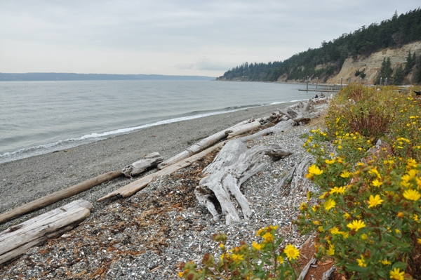
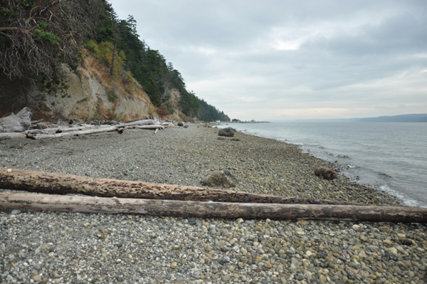
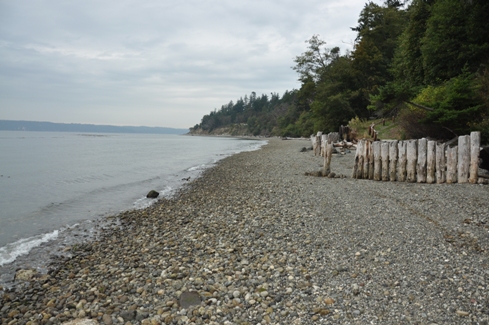
North Beach with Lowell Point in the distance
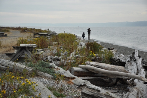
Taking pictures at Lowell Point
North Beach from Lowell Point
East Beach
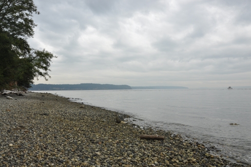
Looking toward Cama Beach State Park
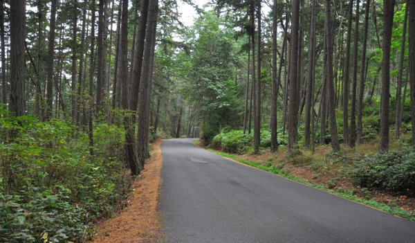
Road through the park
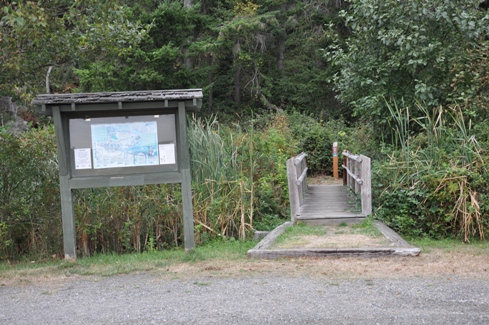
Trailhead off the road


