WillhiteWeb.com - Hiking, Climbing and Travel
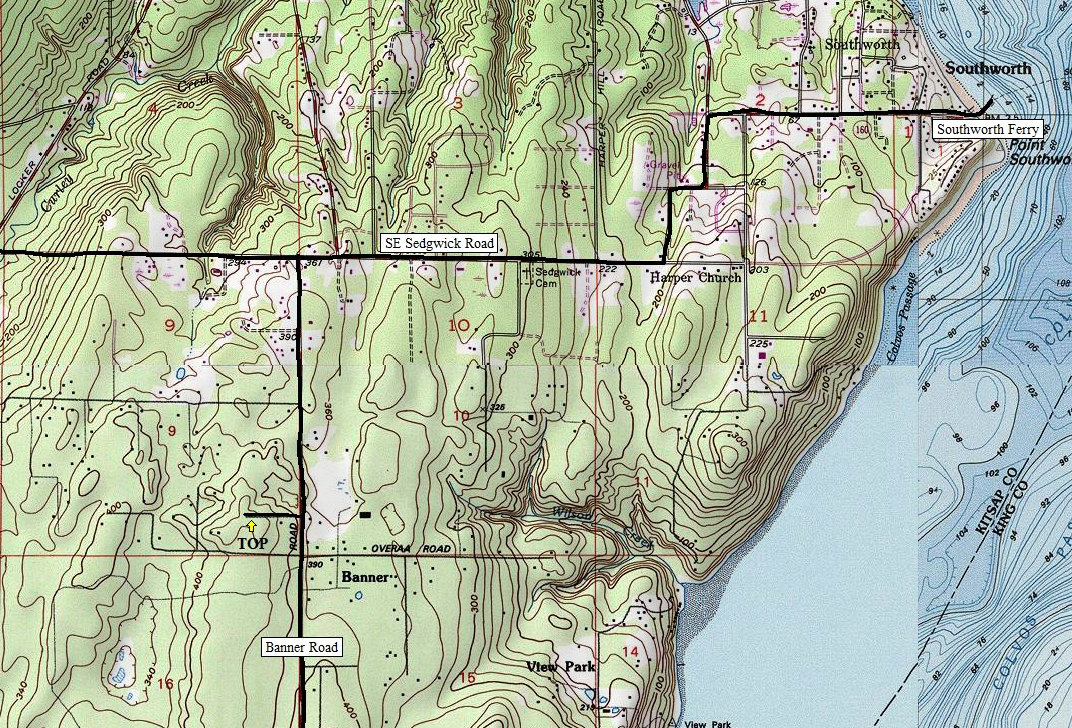
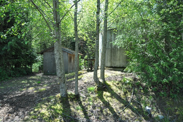
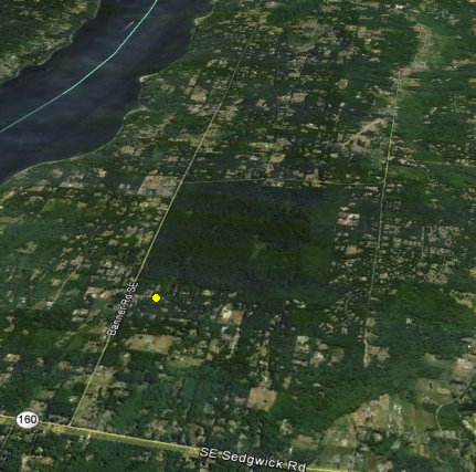
It is very hard to tell that this is any sort of highpoint. The map shows Promenade Lane passing right over the contour. On the ground, it seemed difficult to mark the spot. There is a small water tower near and makes for a good "I found it" location. To make it more interesting, bring your mountain bike. Just to the south is Banner Forest Heritage Park a popular biking location. Biking here from the park would only be a few minute detour.
Banner Hill
Distance: Drive-up
Summit Elevation: 450 feet
Access: Paved
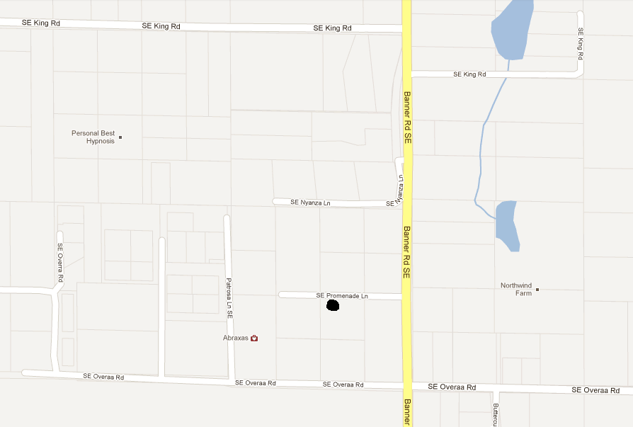
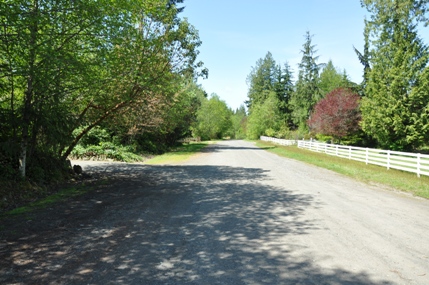
Promenade Lane
Location of highpoint with the Banner Forest to the south
The water tower


