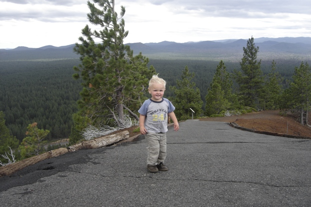
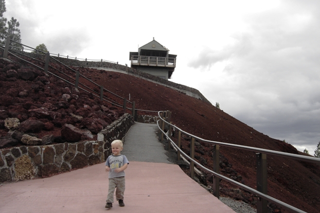
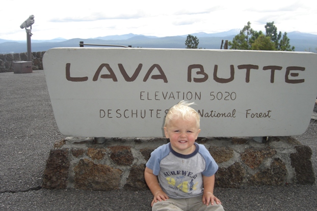
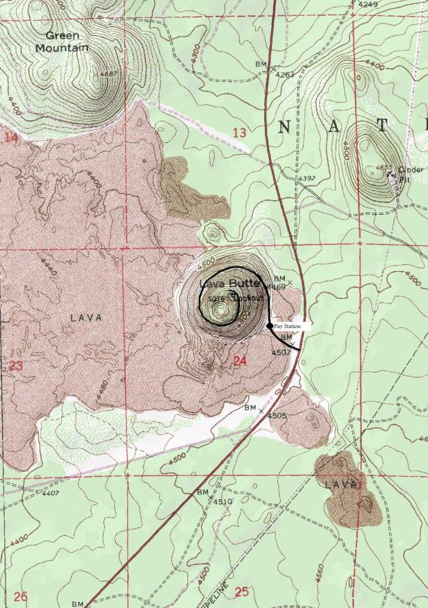
Lava Butte is about as easy as it comes. A paved trail takes you the minor distance up to a nice forest service lookout. Although the elevation is low, the Lava Butte cinder cone is the only thing around so there are great views. Because of it's easy access off the highway south of Bend, it makes a good rest stop. A park attendant will charge though to drive up to the parking lot near the top since it is inside the Newberry National Volcanic Monument
Access:
Lava Butte
WillhiteWeb.com
From Bend, take 97 south for several miles. The turn on the right is well signed and you will see the Butte for some time before you get there.
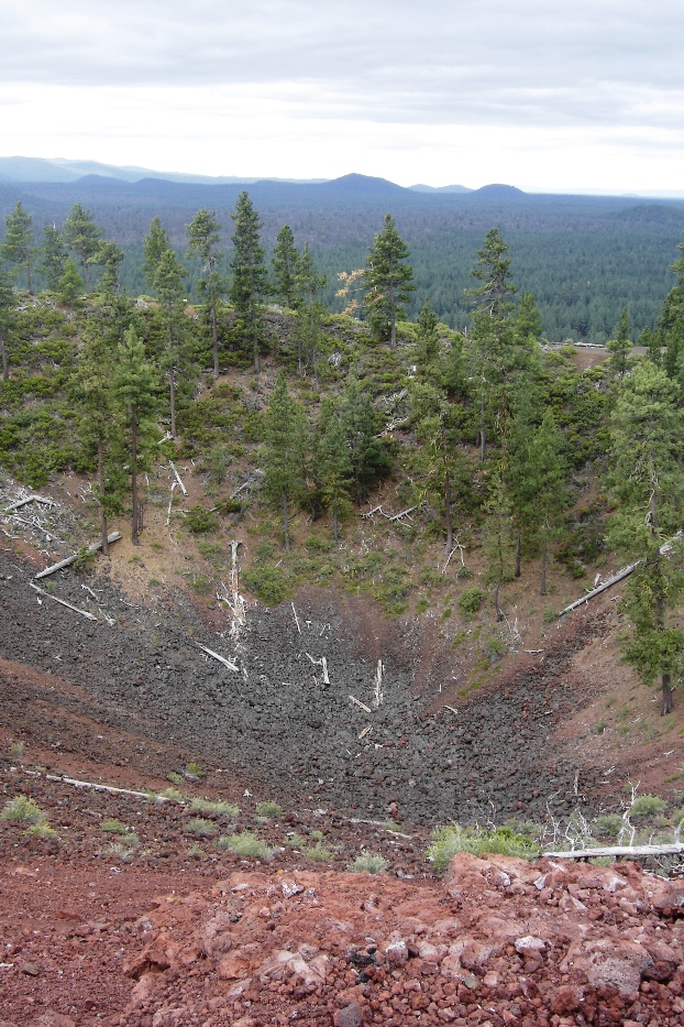
Small crater on the summit
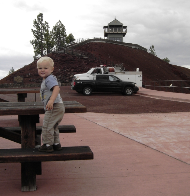
Picnic area at the parking lot
Distance: Under 1/4 mile
Elevation Gain: 100 feet
Summit Elevation: 4,970
Access: Paved
Lookout History:
In 1913, the Deschutes Valley Fire Patrol Association employed E.T. Gerrish as a fire lookout person on the butte. His camp was near the base on the river and he rode a horse to the summit daily. A private phone line was also installed.
In 1924, the lookout point was used by the Forest Service.
In 1928 the Forest Service started plans to establish a structure on the summit. A good trail was also planned to facilitate getting the supplies up as well as being a tourist trail for travelers on The Dalles-California Highway.
In 1929, the lookout at the temporary structure on the summit was Edward Stadter.
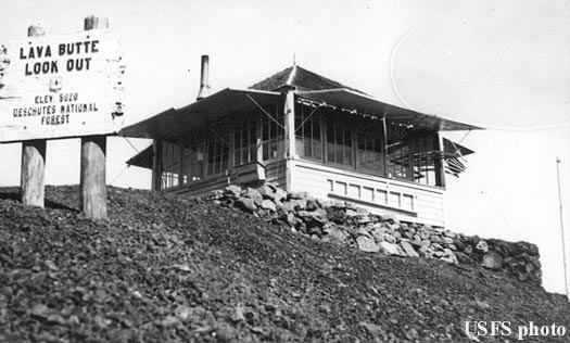
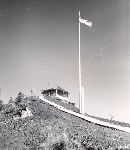
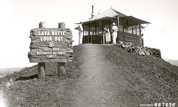
In 1931 or 1932, an L-4 cab was built at a cost of $617.93.
In 1932, a road to the summit was started in the fall and finished by spring the following year.
In 1933, panoramic images were taken from the summit. The lookout was Tom Brown and around 600 people had visited the butt that season on the new road.
In 1936, the lookout was Harold Heiser. This year the weather instruments from the Bend Post Office roof were transferred to the Lava Butte Lookout. The season ended with a new lookout, Lynn McCall, who was to start college the next year at OSC.
In 1939, the lookout was Jack Arney. He was placed at the lookout earlier in the season than any time in the history of the forest (March 26), as low humidity and high temperatures, with no rain, created unusually hazardous fire conditions. But then in mid-May, it snowed over six inches one night and the drifts of snow practically covered the garage. Jack Arney managed to get his car out, excavated a runway and with considerable difficulty drove down. Ranger Joe Lammi had attempted to drive up to get him but was forced to give up in the deep snow on the north side.
In 1940, the lookout was Cecil Reid. In early August, he saw a puff of white smoke rise above the highway but it turned out to be an accident.
In 1941, the lookout was Willard Nelson. At the end of July, a 67-mile-an-hour wind was recorded one evening that whipped across the lookout site. So fierce was the wind that it drove rain into the lookout house, through tiny cracks. Several days later, Willard spotted an accident on the highway below after hearing a crash. He looked down and saw a car in the ditch. He notified the central platting office in Bend and was advised to investigate. Nelson hurriedly drove to the highway and found in the car Mrs. Lundy bleeding badly from several cuts. Nelson rendered first aid, then brought her to Bend.
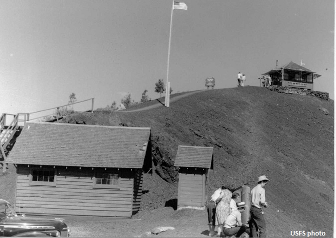
In 1946, a new two-way road to the top was completed, including two parking areas on the rim. The new road has a ten percent grade as its maximum, compared with the 19 percent on the old one-way road which served the lookout station and as many as 5,000 visitors each year. To accomplish the new grade it was necessary to add another half circle in the spiral around the cone.
In 1947 the lookout was Leona Jones. This year Cecil McLeod of Bend donated a pair of powerful Japanese naval binoculars that he found while stationed on an island in the South Pacific during WWII. The binoculars have five inch lenses and magnify 20 times. Forest service employees constructed a special mount for the delicate instrument which allows it to be rotated and raised and lowered.
In 1950, the road to the summit was paved. It was estimated that 66 tons of asphalt would be required to surface the 1.15 mile road. The Babler Brothers of Redmond won the bid.
In 1954, it was recorded that some 30,000 persons, by actual count, visit the butte. The count is made only when the butte is occupied by a lookout. The many who visit the lookout earlier in the season or late in the fall are not included in the 30,000 count.
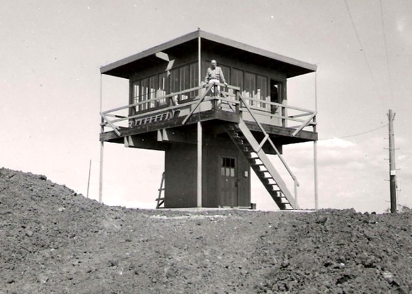
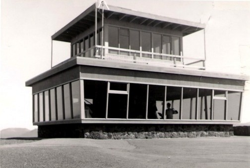
In 1957, a 2-story R-6 flat cab was built.
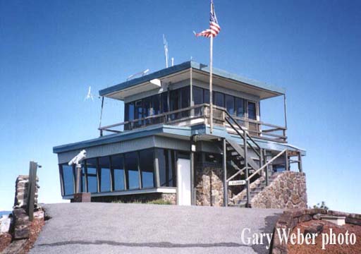
In 1962, to provide for the new information center, the lookout house was reconstructed, with its base devoted to information quarters. Staffing the center through the summer will be two U. S. Forest Service employees, who were available to meet the public from 14 to 16 hours daily on shifts. The information center under the elevated lookout house had tinted glass enclosures on three sides, south, west and north, with the entrance to the east. The center had a stone base, with glass on top of this. Above the glass, the stone work reached to the base of the elevated lookout station.
In 1964, by the end of September, the information center had been visited by 87,400 persons that year, an all-time-record. Forest officials predicted that before the road to the summit crater of the butte is closed, attendance would reach the 90,000 mark.
In 1997, the structure was dismantled and hauled away in October. The 40-year old building had reached the end of its usable life. The freeze-thaw conditions that weakened its foundation, caused cracks so the rain and snow would run into the lookout and visitors center below.
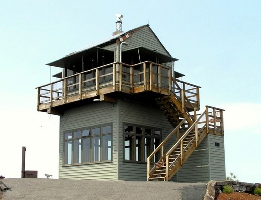
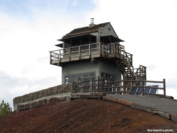
In 1998, a new lookout was constructed by Forest Service personnel, a 2-story replica of a gable-roofed L-4 with 1st floor visitor center was built. Bids from private contractors came in higher than the budget. The footings were sunk four feet into the top of the Butte, with 40 cubic yards of concrete used in the footings and foundation. Solid one-foot square Douglas fir beams were used to support the walls and second story lookout area, thus, the need for guy wires was eliminated. The weather became a challenge when the timbers had to be moved around the rim trail on wheeled trailers, with winds that can reach as much as 50 miles per hour.
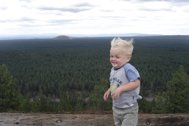
Keeping a reputation as a windy lookout site
1948 Lava Butte
1950 Lava Butte
1950 Lava Butte
1933 Lava Butte
The 1957 Lava Butte Lookout before they added the bottom visitors center in 1962
With the bottom visitors center
2003 Ron Kemnow photo
2013 Rex Kamstra photo
From the west side


Looking North in 1933
Looking Southeast in 1933
Looking Southwest in 1933


