www.willhiteweb.com - Hiking, Climbing and Travel
The upper east side of Mount Rainier is a remote road-less area where only one trail exists above tree-line. There is plenty of off trail wandering possible but most just stick to the Wonderland Trail when visiting the region. This section of the wonderland is much less strenuous than the west or north sides, climbing up far fewer valley bottoms and ridge tops. Still, most will want to make this a one way trip. A good option is to take two cars and do this section in one day, a 17 mile trip. I did it solo with my bike as my other car, biking the highway 20 miles before the 17 mile hike. A long day but not as tiresome as I had expected.
Wonderland Trail East Side
Distance: 17 miles
Elevation Gain: 4,200+ feet
Access Rating: Paved
You can start at the Summerland Trail or at one of two trails at the Box Canyon/Stevens Entrance. For Summerland, drive from the White River Entrance 3 miles to the parking area just beyond the Fryingpan Creek Bridge. The trail starts across the road. Parking space is limited and fills early on sunny summer days. For the Box Canyon/Stevens Entrance trails, drive in the Stevens Canyon Entrance. The Cowlitz Divide cut-off trail up to the Wonderland is just on the right within a mile, while the Box Canyon trailhead for the Wonderland Trail is 12.7 miles up the road on the right.
Access:
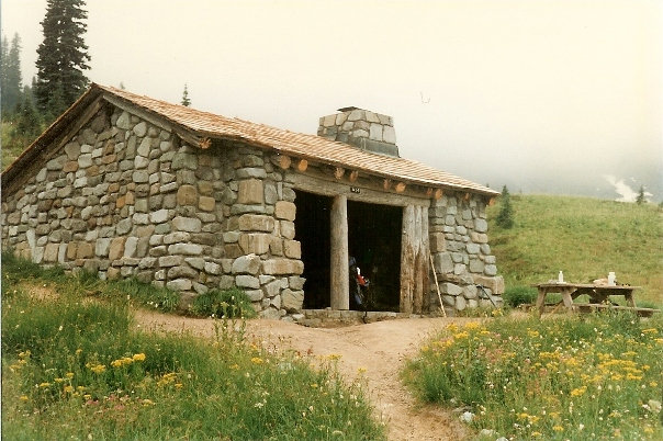
If starting from the south, one option is the Cowlitz Divide trail, a 4 mile hike up to the Wonderland Trail. You could also start from Box Canyon where the Wonderland Trail actually crosses the Stevens Canyon Road. The trail climbs 3 miles up to the Cowlitz Divide from there. At the junction of these trails, the Wonderland Trail follows the Cowlitz Divide 4.6 miles to Indian Bar. Much of the route is full of views out beyond Mt. Adams and St. Helens. After dropping into Indian Bar, look for bears, elk and deer. This is a highlight of the trip, in Ohanapecosh Park, the Indian Bar shelter feels like a nice refuge in the wilderness. Now climb out going up to Panhandle Gap and Summerland, a 4.5 mile trek across the highest part of the Wonderland Trail. Early season hikers often bring an ice axe for this section. From Summerland, it is a nice forested walk 4.5 miles down to the White River Valley.
Route:
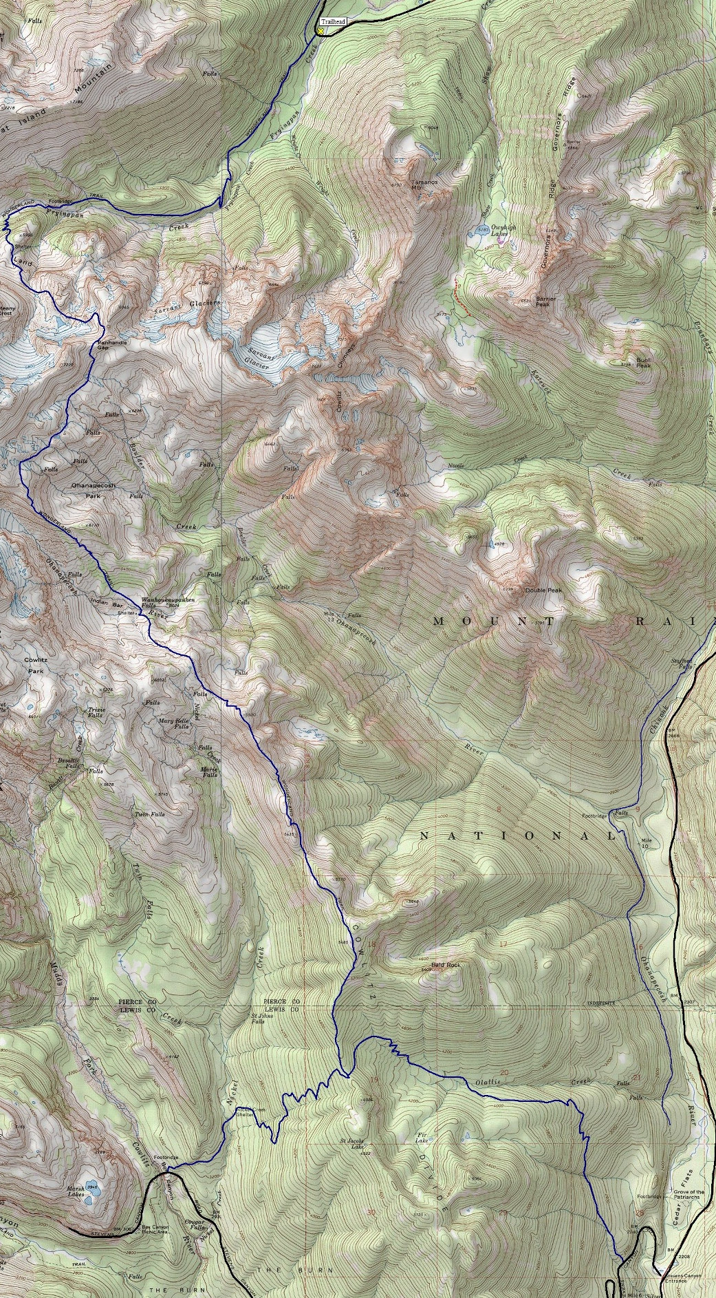
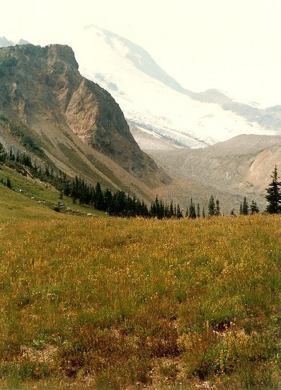
Mount Rainier from Summerland
Indian Bar shelter
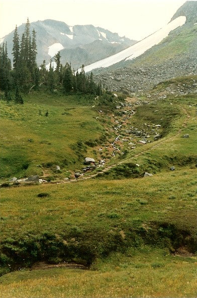
Looking towards Panhandle Gap
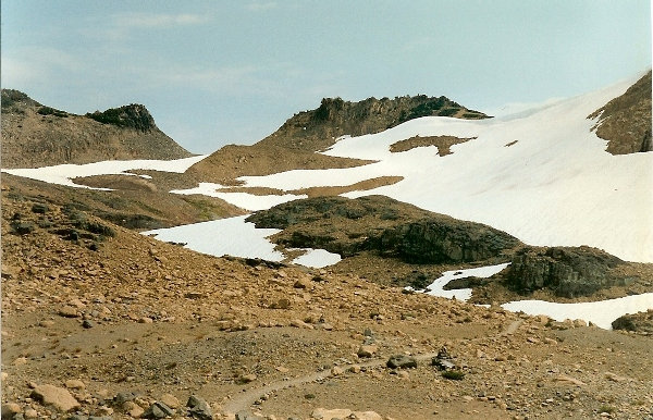
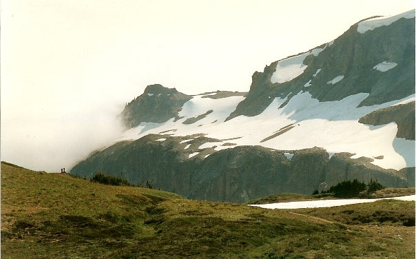
Panhandle Gap
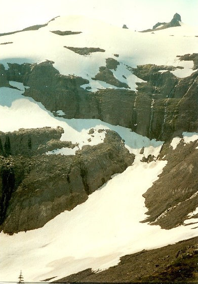
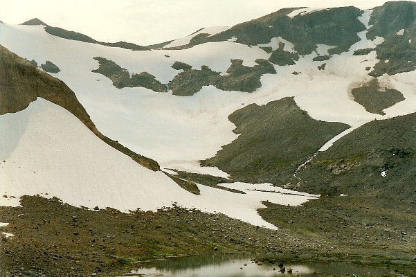
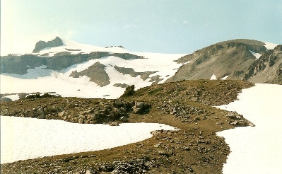
Snowfield on the north side of Panhandle Gap
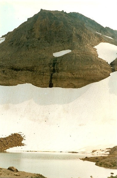
Small lake on the north side of Panhandle Gap
Looking over the Ohanapecosh Valley to Whitman Crest
West from Ohanapecosh Park
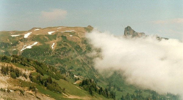
Banshee Mountain on left with Cowlitz Chimney on the right
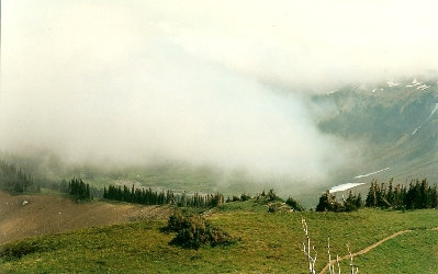
Looking down to Indian Bar
Ohanapecosh Valley headwall


