WillhiteWeb.com - Hiking, Climbing and Travel
This trail displays old-growth forests, sub-alpine wildflowers, panoramic views of Mount Rainier and Little Tahoma, and frequent sightings of mountain goats and elk herds. This is one of Mt. Rainier's most crowded trails, hosting several hundred hikers per day during summer weekends.
Summerland Trail
Distance: 4.5 miles
Elevation Gain: 1,500 feet
Access Rating: Paved
Drive from the White River Entrance 3 miles to the parking area just beyond the Fryingpan Creek Bridge. The trail starts across the road. Parking space is limited and fills early on sunny summer days.
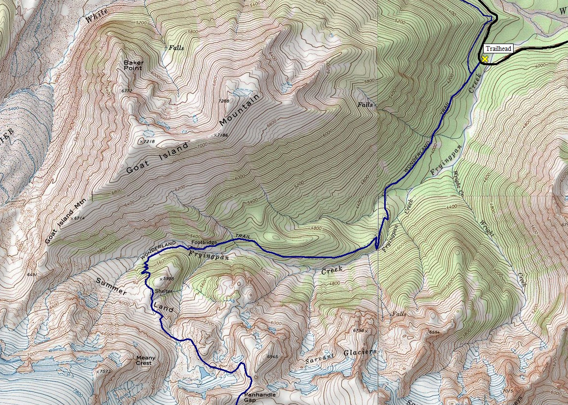
Summerland Access:
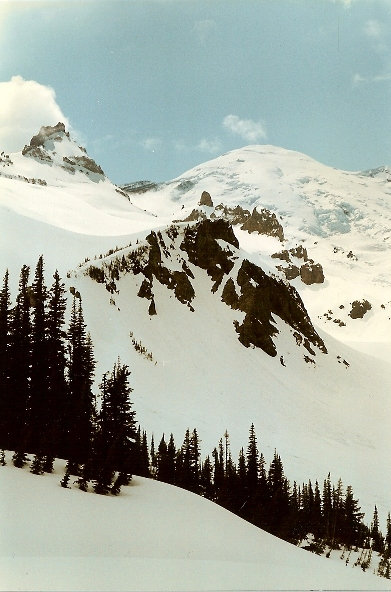
The wide trail ascends gradually through mature forest for several miles before entering the open but brushy upper valley of Fryingpan Creek, where hikers find good views of Mount Rainier. Shortly after crossing the creek at a small cascade, the trail switchbacks steeply for another half mile before reaching the open sub-alpine meadows of Summerland. The stone shelter cabin is in the grove to the left while good campsites are to the right. Little Tahoma dominates the meadows, rising above the Fryingpan Glacier to the southwest. West is the Emmons Glacier and partially blocked Mount Rainier by Little Tahoma. North is Goat Island Mountain, south is Panhandle Gap.
Summerland Trail Route:
Panhandle Gap:
From Summerland climb 1,300 feet in less than 2 miles to the 6,750-foot Panhandle Gap. This is the highest and most desolate section of the Wonderland Trail. Much of the way lies over large snowfields.
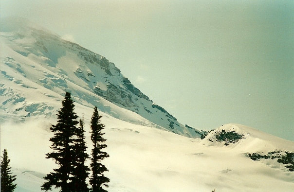
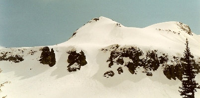
Steamboat Prow
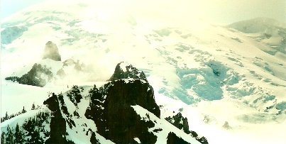
Meany Crest
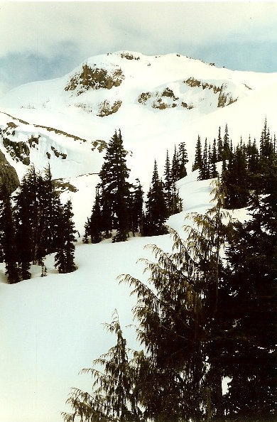
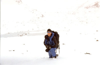
Up near Panhandle Gap
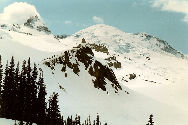
Little Tahoma and Mount Rainier from Summerland
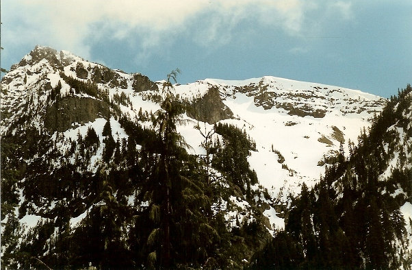
Goat Island Mountain
Cliffs of Banshee
Trail to Summerland in the spring
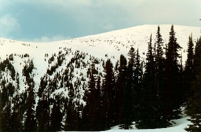
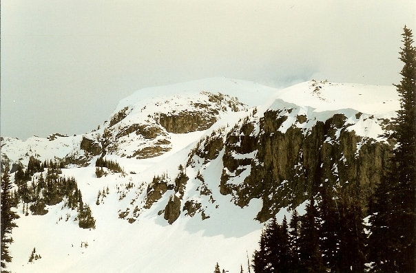
Point 6798 from Summerland
Little Tahoma and Mount Rainier from Summerland


