www.willhiteweb.com - Hiking, Climbing and Travel
Shriner Peak
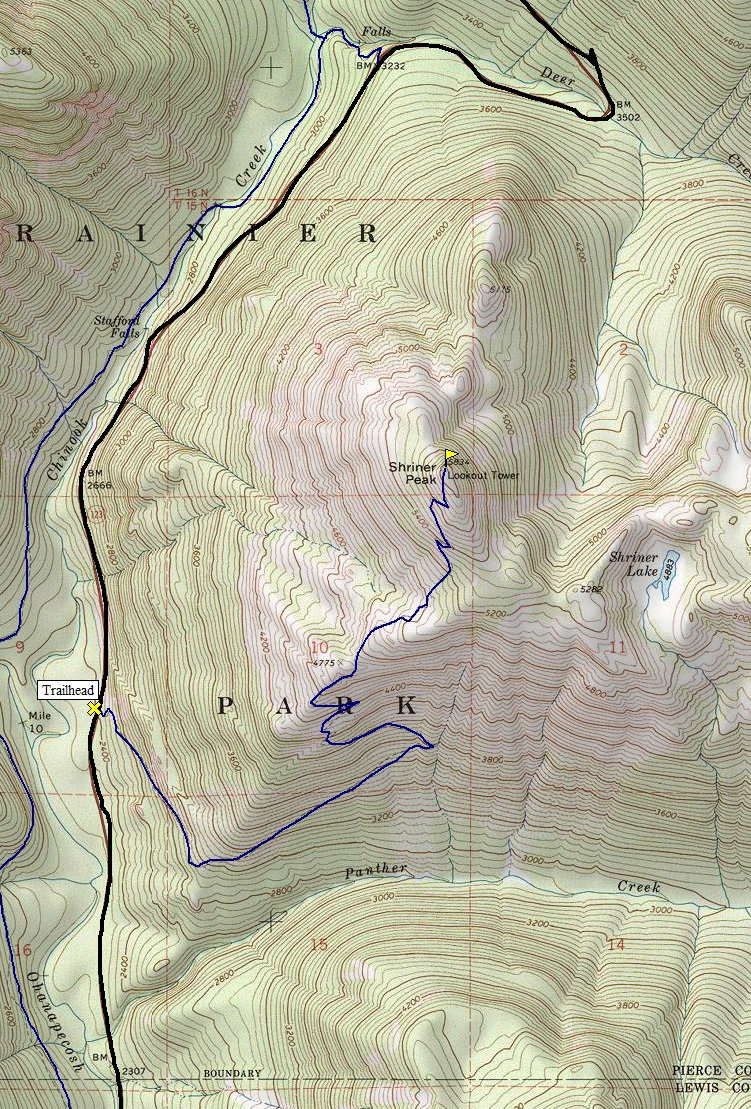
Shriner Peak is on the east side of Mount Rainier National Park. A nice 4.2 mile trail quickly takes you to the summit where you have an outstanding view and one of the four remaining lookout structures inside the park. You could even do some camping near the summit, but beware, bears are quite common on this trail.
Distance: 4.2 miles
Summit Elevation: 5,834 feet
Elevation Gain: 3,500 feet
Access: Paved
Take Hwy 410 east through Enumclaw and Greenwater to Cayuse Pass. At the pass take Hwy 123 and drive about 6-7 miles south to the trailhead on the east side of the highway. Parking is on the west side of the highway about 100 yards north of the trailhead. If coming from the south on 123, the parking area is 3.5 miles north of the Stevens canyon entrance and 1/2 mile north of the Panther Creek bridge.
Route:
Access:
Just follow this enjoyable trail up to the summit. The views start after about 2.5 miles.
<
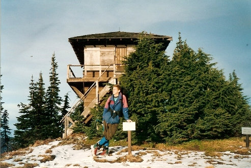
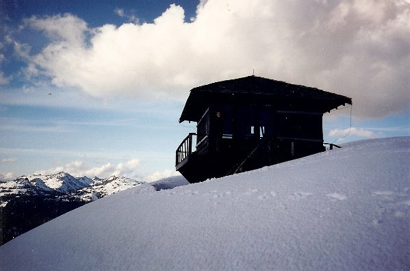
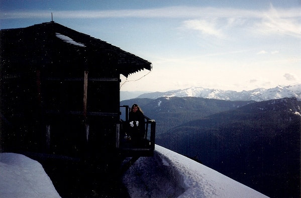
The lookout in the early 90's
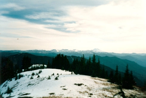
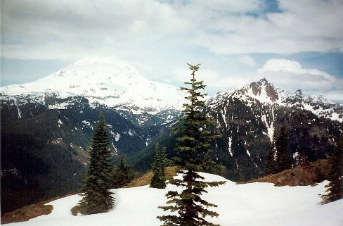
First view of Rainier
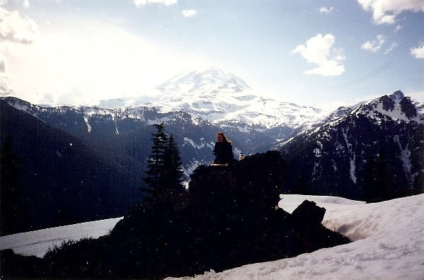
Mt. Rainier
Shriner Peak Lookout in spring
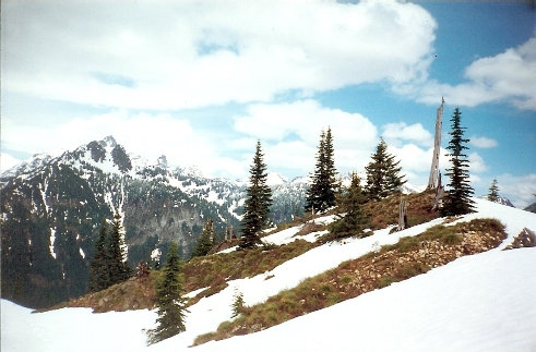
Shriner Peak summit area
Shriner Peak summit area
Shriner Peak summit, looking south
Shriner Peak summit area
Looking east
Looking south
Lookout and looking north
<


