www.willhiteweb.com - Hiking, Climbing and Travel
Hard to believe that you can hike one of the most popular trails in Washington, cut off the trail and have an entire mountain to yourself. Goat Island Mountain is in a dramatic setting, sitting below Mt. Rainier with deep glacier carved valleys on both sides. Goat Island makes for a great scramble that poses no technical difficulties.
Goat Island Mountain
Distance: 5.5 miles
Elevation Gain: 3,500 feet
Summit Elevation: 7,288 feet
Access Rating: Paved
Drive through the White River Entrance and proceed three miles to a parking area near the Fryingpan Creek Bridge. The trailhead is across the road and parking space is limited, filling up early on sunny summer days.
Access:
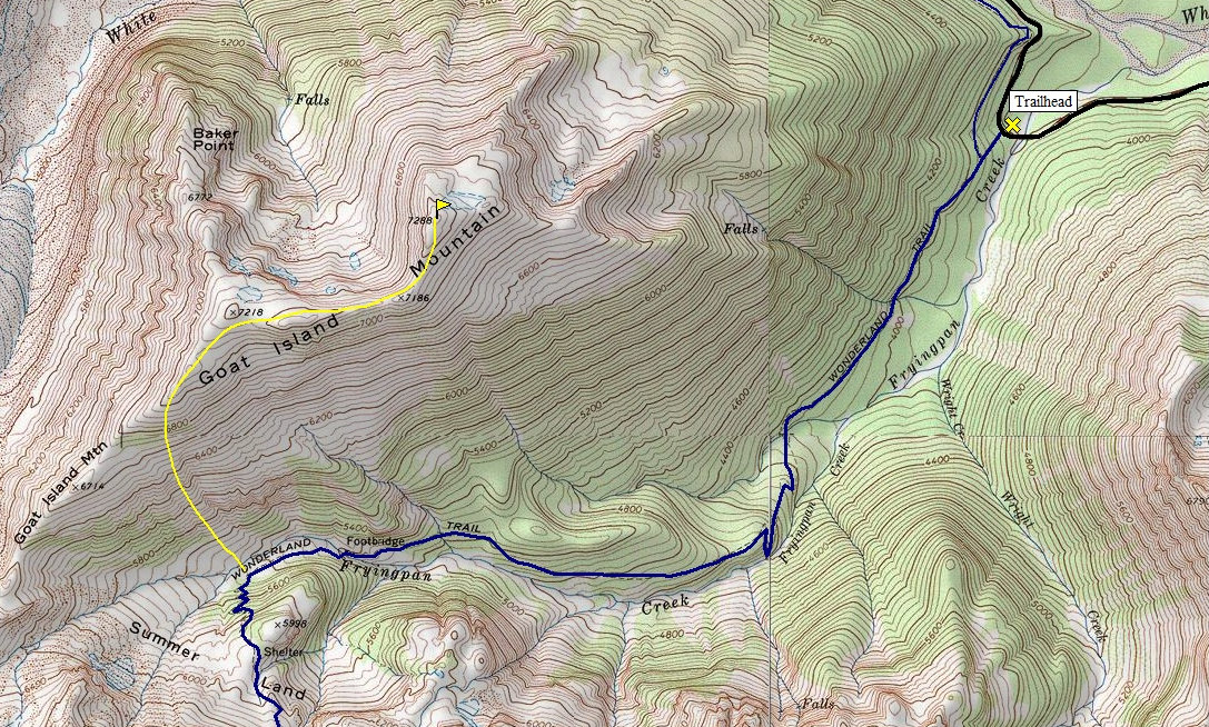
The trail ascends gradually through mature forest for several miles before entering the upper valley of Fryingpan Creek where hikers find good views of Mount Rainier. Before crossing the creek and climbing up to Summerland, turn west and climb the east side of Goat Island Mountain. Once on the ridge, work north until you reach the highpoint at 7,288 feet.
Route:
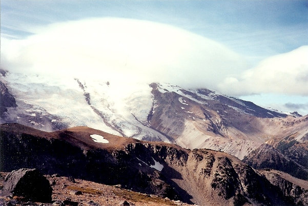
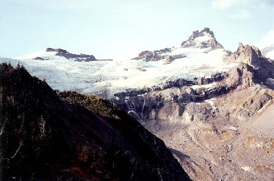
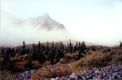
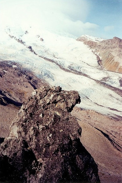
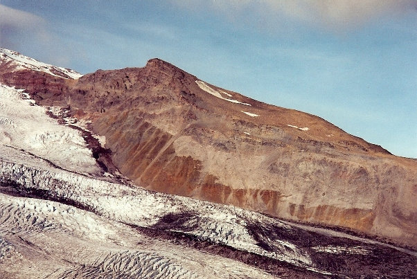
Banshee and Tamanos
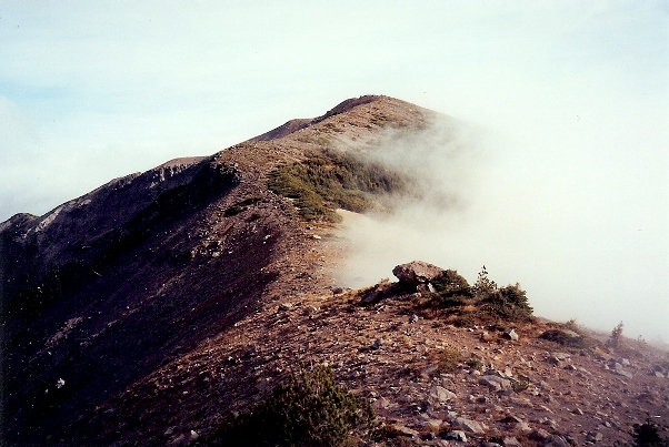
On the ridge
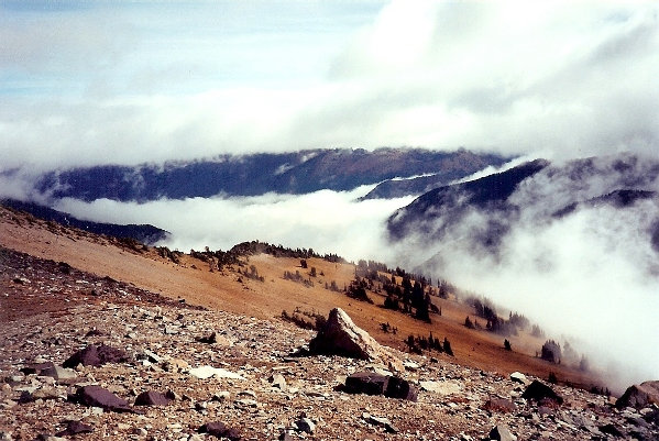
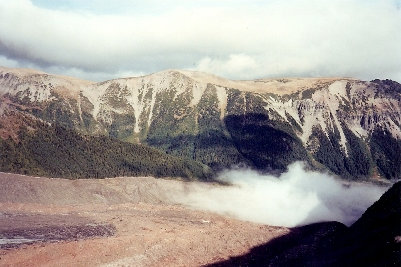
Looking down into the White River Valley
Little Tahoma
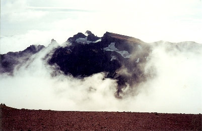
Cloud cap over Mount Rainier
Emmons Glacier
Steamboat Prow
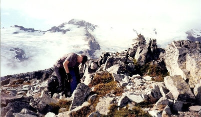
The easy ridge on top of Goat Island Mountain
Looking over to the Burroughs Mountains


