
Naches Pass Wagon Trail
Naches Pass was one of the first passes over the Cascades in Washington Territory in 1953. The route was tough and did not gain popularity. Today the pass is quite popular, among the off-road community. The route has some great forest, scenic meadows and easy access on and off if something goes wrong. As for destinations, the most popular stopping point is Government Meadows. From a parking area, a short walk takes you to the meadows where you find Camp Urich, a public log cabin boasting a wood stove and ready cut wood. There is also an outhouse behind the cabin. Sleeping inside is first come first served. The Pacific Crest Trail goes right through camp so do not expect to be alone in the summer. Just east of Government Meadows, the trail hits Naches Pass where a sign marks the historical importance of the area. Overall, most Wheelers enjoy the route and come back to do it more than once.
WillhiteWeb.com: Washington
Distance: 9.5 miles
Rating: Easy
West side closed from November 15th through July 15th
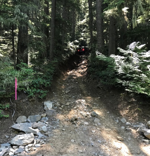
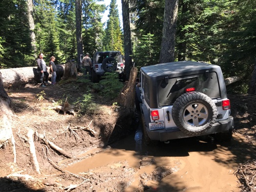
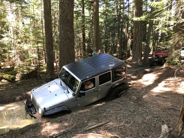
Start of the west side in a deep trench
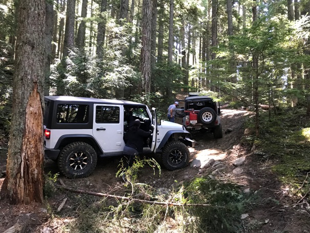
Tight section with mud
There was a bypass but Scott skips those
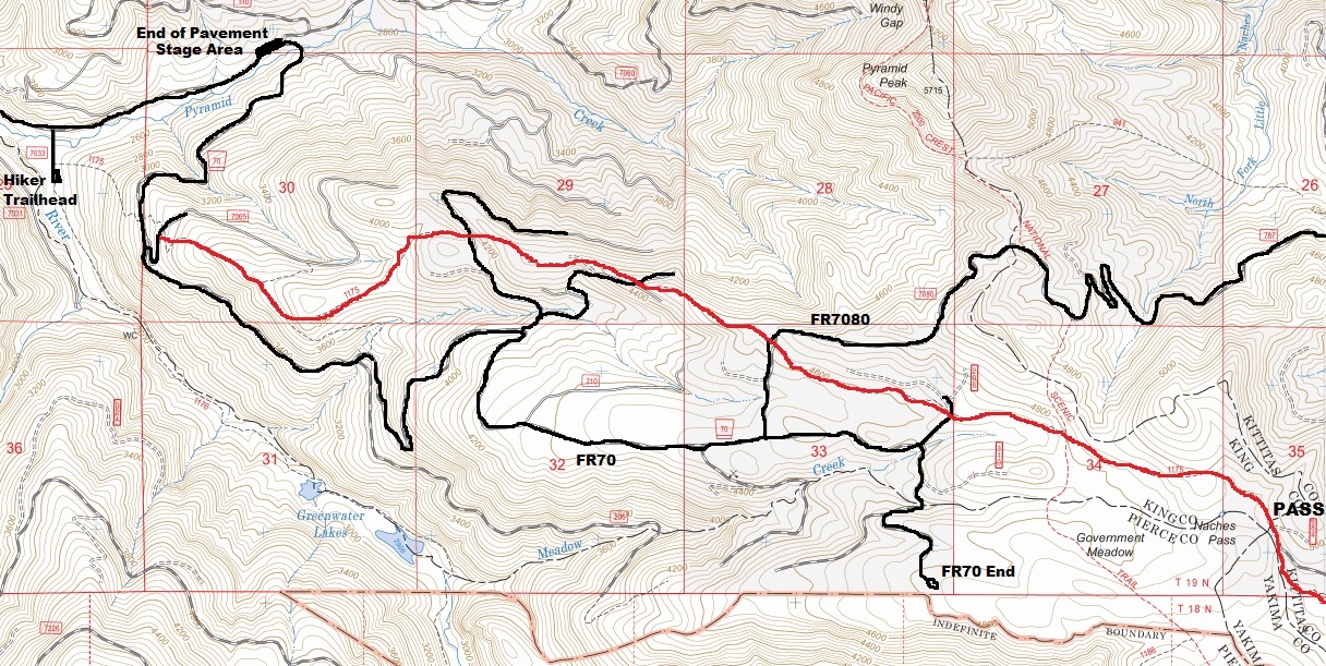
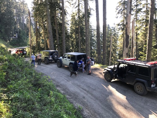
On a forest road 7080
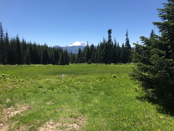
Route goes through this meadow where you can see Mt. Rainier
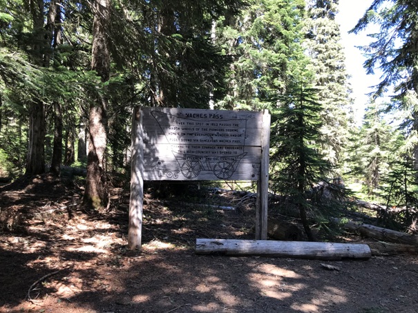
Sign at Naches Pass describing some of the history
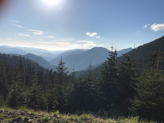
From the return route on forest road 7080 looking west
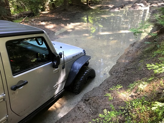
Mud if you want it
Most of the west side is in nice forest
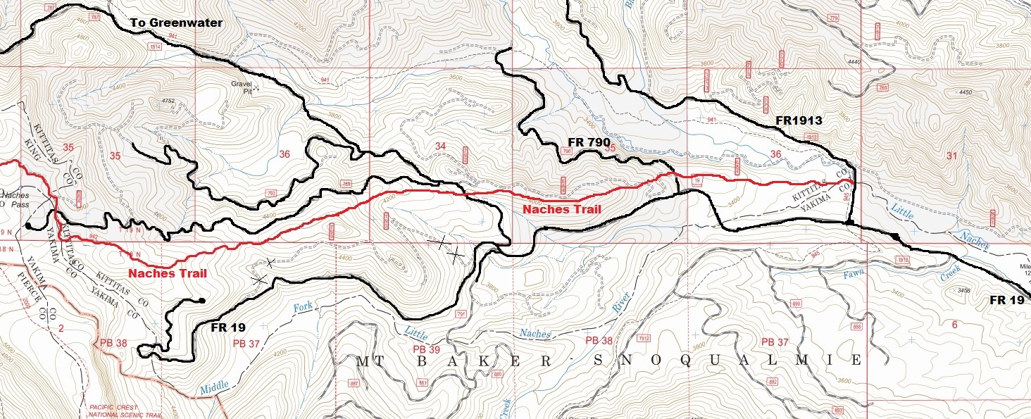
Map showing West side route in red
East side route


