
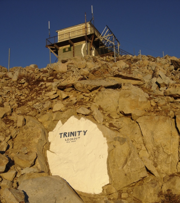
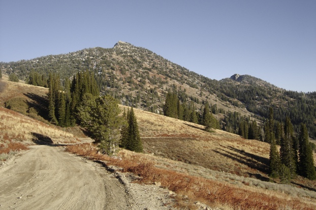
Trinity Mountain Lookout is visible on top. The road was gated from here.
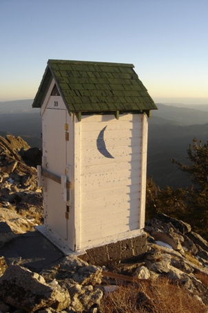
Trinity bathroom
Mav enjoying the sunset from the chair on the left.
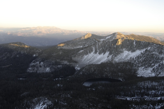
Trinity Mountain is the tallest mountain in the far south of the Boise Range. Due to this, the views in most directions are quite big with Trinity having 2,371 feet of prominence. This hike is along a road that is just perfect for a short hike or if you have kids. The lookout is still in use and it sits on the edge of some big cliffs. On the north side of the mountain are several large lakes with very nice camping spots. During our mid-week trip here one week in October, we did not see anyone on the hike or down at the camps...but it was cold that night.
Trinity Mountain
Distance: 2 miles
Elevation Gain: 1,400 feet
Summit Elevation: 9,451 feet
County: Elmore
Access: Good Gravel
WillhiteWeb.com
Access:
Take ID-20 north out of Mountain Home. Turn left onto the Fall Creek Road/Anderson Dam Road just past Dixie Summit. Follow the road to Anderson Ranch Dam. Follow the road along side Anderson Ranch Reservoir for 9.3 miles until it becomes Fall Creek. Follow Fall Creek for 6.4 miles and bear right and follow signs for Trinity Ridge. After 8.9 miles you'll pass Cold Spring Campground and the road climbs up to a prominent ridge northwest of the peak. Park there or drive to the gate and park. Access from snow can keep the road closed into June and longer if going north from the pass.
Route:
From the gate in the saddle, walk the road to the summit
Sun setting while hiking back to the truck
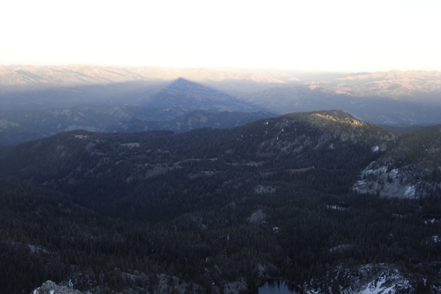
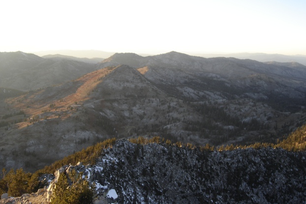
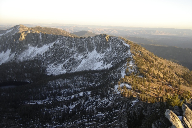
View east with shadow of Trinity
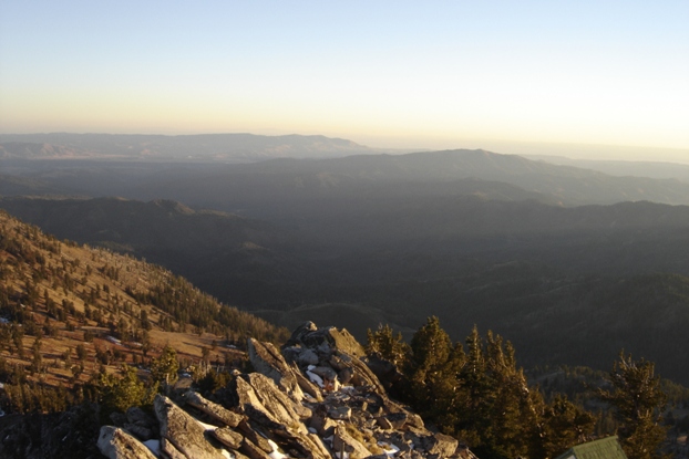
View south from the lookout
Late evening sun on the lookout
View southwest from the lookout
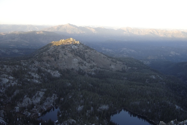
View northeast...we camped down at those lakes
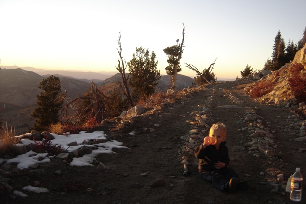
Taking a break
Room with a view
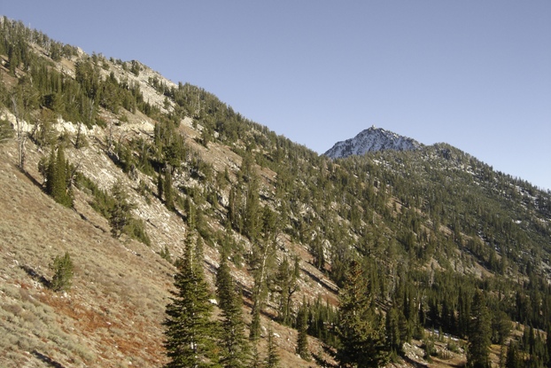
Views south near the trailhead
Trinity Mountain (on left) view from the North
Lookout History:
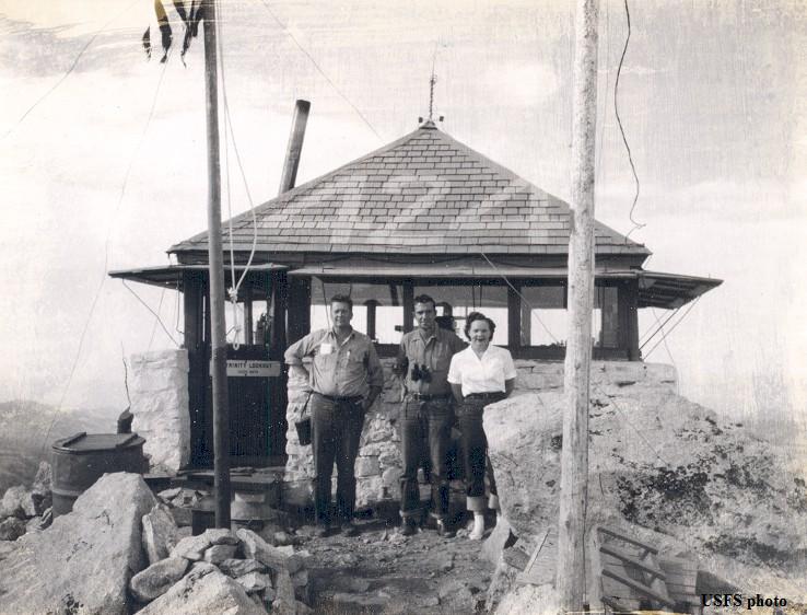
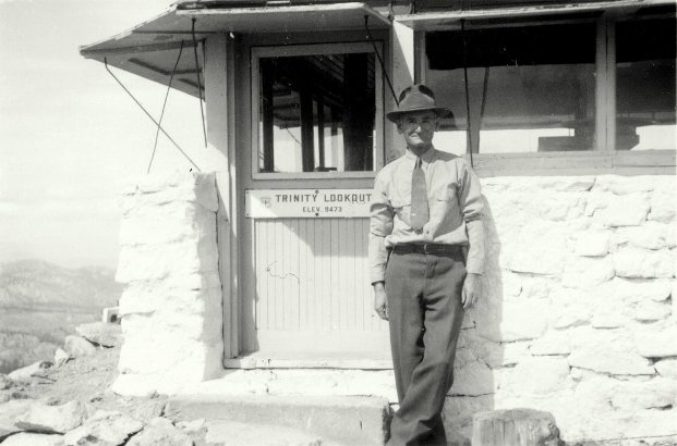
In 1922, a 12x12 stone cabin with metal roof was built.
In 1944, the lookout was Miss Patricia Anne Heath of Prairie Idaho.
In 1955, a military aircraft crashed somewhere near the lookout. Searchers reported seeing a path through the snow from the point of the crash to the lookout. A ground party was organized and snowshoed in to retrieve the men. Military aircraft were used to provide air cover to be sure the men were brought out. Hanks reported he was in good condition and Stowell said he had cuts about the face and had lost a few teeth, the Air National Guard reported. They spent the night in the lookout.
In 1956, an L-4 cab with a 10-foot concrete base first level was built. It is staffed every summer.
In 1959, a USGS party reported the lookout as a 12- foot square two story white structure with a pointed roof.
The lookout from the road a bit south of the gate
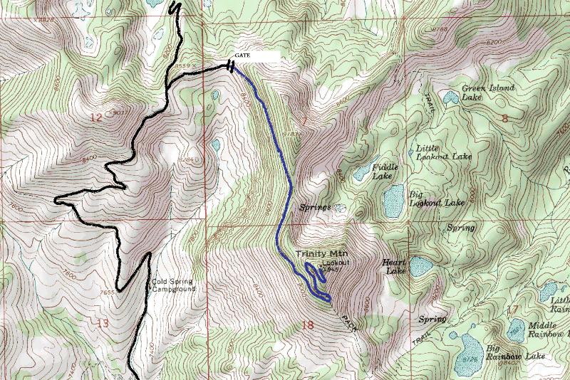
Blue is also road but usually must be walked
Trinity Lookout in the 1940s
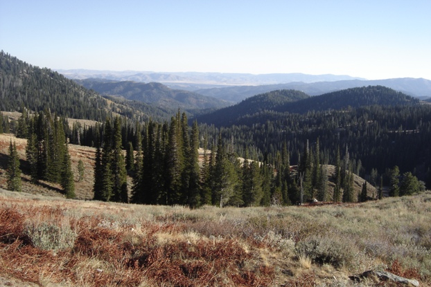
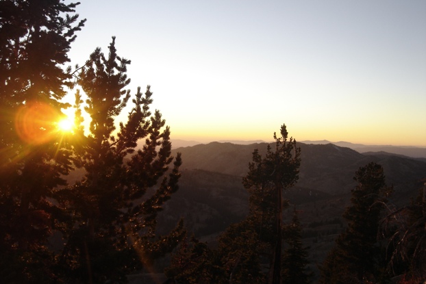
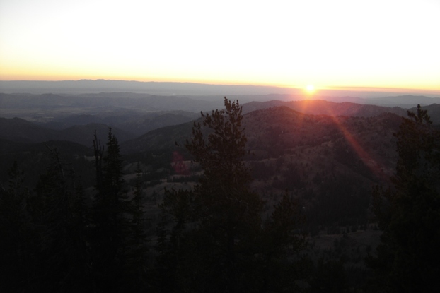
Sun setting toward Boise
Trinity Lookout


