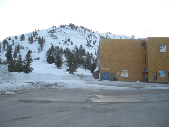

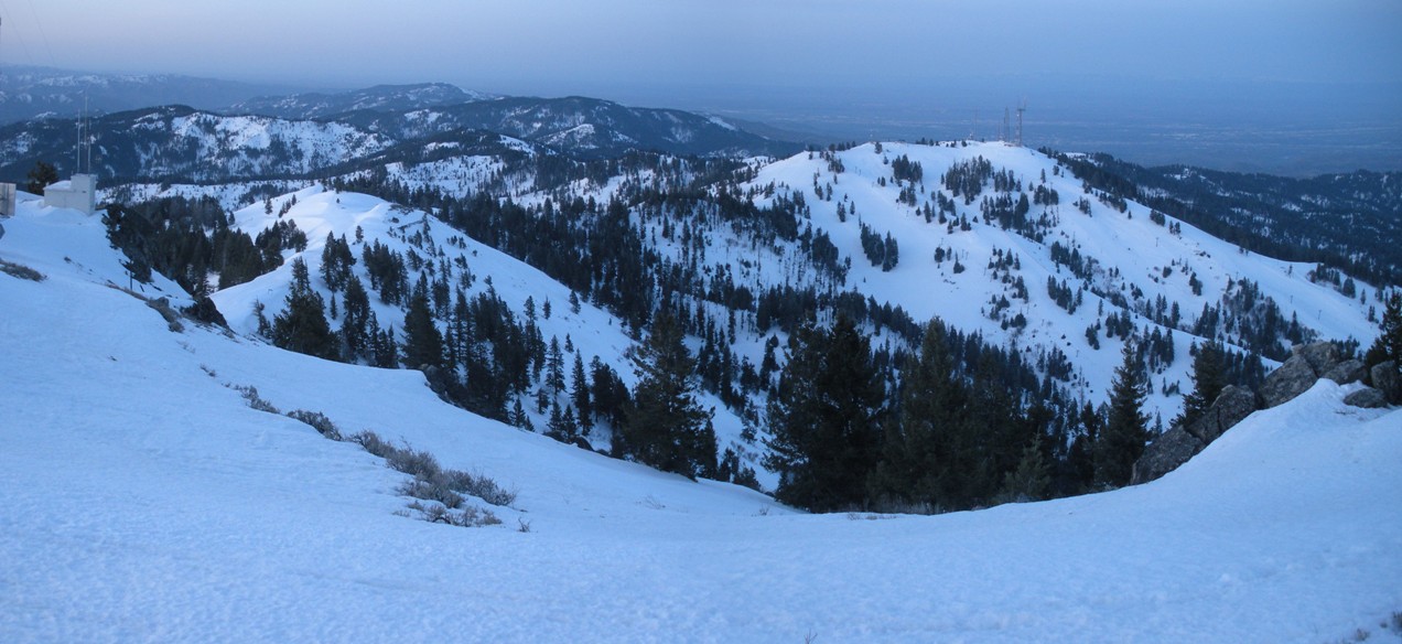
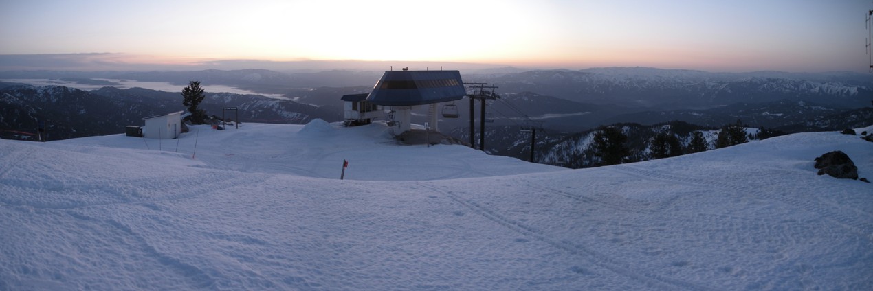
The tallest mountain above Boise and most prominent peak in the area is Shafer Butte. Shafer Butte is home to Bogus Basin State Park and the Bogus Basin Ski Area. The summit is riddled with communication towers, roads and a ski lift. Access is easy, you can drive high requiring less than 1,000 feet of vertical climbing. You could also take the ski lift up to the summit in winter. I went up in spring with consolidated snow, shortly after the resort closed down for the season.
Shafer Butte
Hiking Distance: 1 mile
Elevation Gain: 1,000 feet
Summit Elevation: 7,582 feet
County: Boise County
Access: Paved
WillhiteWeb.com
Access:
From I-84, take N 15th Street north. It becomes Harrison Blvd., then turns into Bogus Basin Road. Follow Bogus Basin Road until you reach the resort. Follow the parking lot around the north looking for signs for the Pioneer Lodge and condominiums . This road climbs to the upper parking lot.
Route:
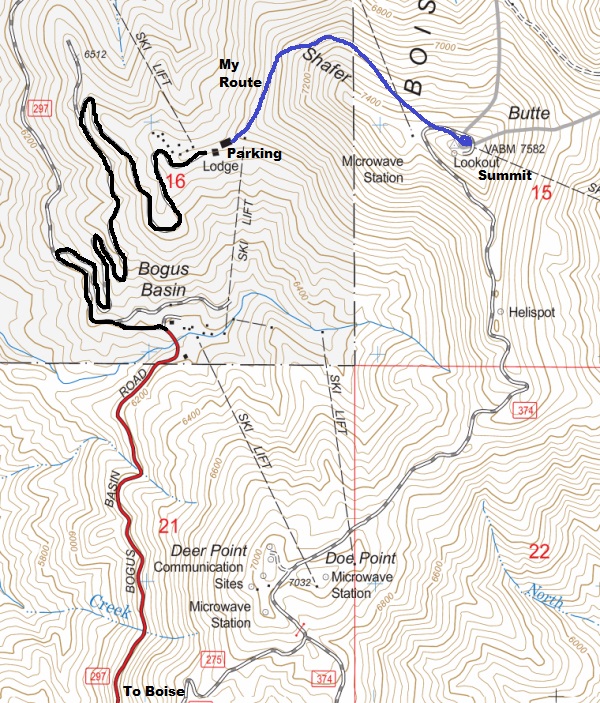
From the upper lot, you can just climb directly to the summit or take a cat trail around the north side climbing at a slow pace. The cat trail eventually ended forcing me to climb a few hundred feet directly to the summit.
Summit area in summer from upper lot
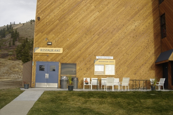
Pioneer Lodge and Shafer Butte in spring
Pioneer Lodge and Shafer Butte in summer
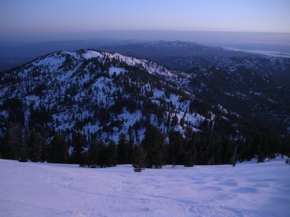
Looking over to Mores Mountain
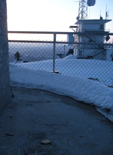
Summit Benchmark in concrete
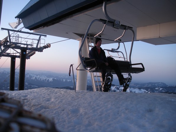
No ride down
Looking east
East from the summit
Looking south to Doe Point
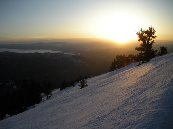
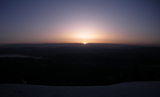
Sunrise from the summit of Shafer Butte
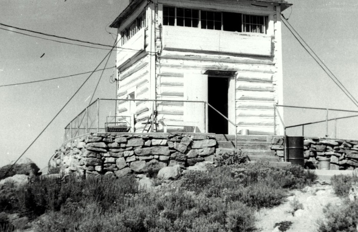
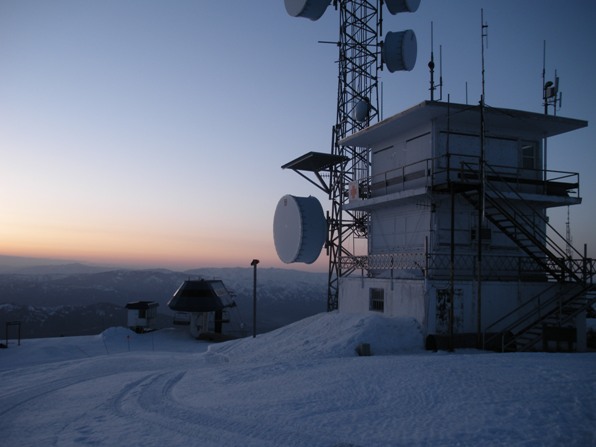
Lookout building on the summit
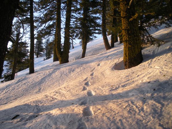
Snowshoe tracks
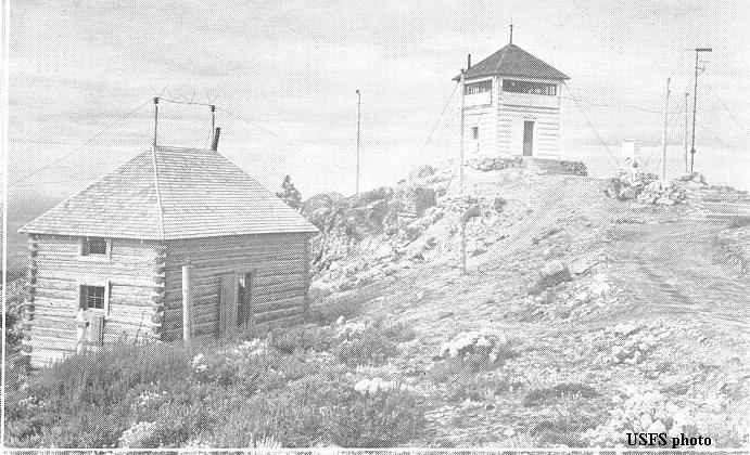
Lookout History:
In 1926, the Morning Oregonian reported on August 14 of numerous fires due to an electrical storm and that the Shafer Butte lookout station described a fire as having a three-mile front, with one extremity lying on the edge of valuable timber lands and the other threatening dry farms near Stackrock.
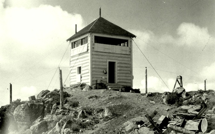
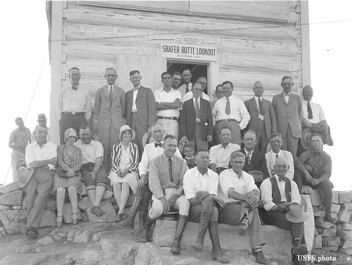
In 1927, a new 2-story log cabin was built.
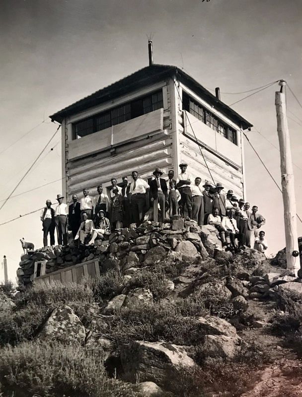
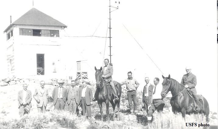
In 1928, at the official opening, Senator William E. Borah had a breakfast of ham and eggs and pancakes in the lookout. He was accompanied by forest officials including Major R.Y. Stuart, the chief forester of the United States, and C.A. Barton, general manager of the Boise-Payette Lumber company. The group motored to Shafer mountain lookout station where the news report called it one of the most completely equipped forest stations in the West.
In 1929, in mid-June, the lookout road was finally negotiable for automobiles after a 36-foot deep snow bank was cut through to open the road. The lookout was visited by the intermountain regional forest protection board due to its reputation as being among the best equipped to determine weather conditions affecting fire conditions and one of the most effective lookout stations in the country. The lookout was being maintained by the Southern Idaho Timber Protective Association. The lookout had a narrow, mountain road to its crest. A total of 609 people registered visiting, of which 11.5 % were from outside the State of Idaho. Shafer was one of the last of the season to close being a central point for emergency purposes.
In 1933, a USGS party recorded that the Southern-Idaho Timber Protective Association had built a lookout cabin on the summit and that a road lead to the summit from the north end of eighth street in Boise. In July, the lookout Melford Vaught reported smoke arising from near a conservation camp below him. He called the camp by telephone to put it out and it was discovered to be a group of men smoking.
In 1934, the season started on May 22, manned by the Southern Idaho Timber Protective association.
In 1945, the lookout was Mrs. Lucy Schlosman of Boise. In addition to lookout work she took care of a complete set of weather instruments and called in readings four times a day.
In 1948, the lookouts were the Standleys. They used the lower portion of the lookout for a kitchen and general living and dining room. The second floor is both the lookout office and bedroom. The bathroom facilities were of the type one finds at night with a lantern. The summit was described as bare on top, the lookout surrounded by lightning arresters and meteorological equipment. There was a garage for their automobile, and a driveway that circles the flag-pole down a few feet from the tower. The drop on all sides of the peak described as precipitous. The lookout was not protected against the elements except by stout cables which anchored it to the mountain top.
In 1958, a R-6 flat cab was constructed with a 10-foot concrete base.
In 1959, the lookout was Mrs. Ronald Ashley, who was also accompanied by her mother, Mrs. A.J. Winters during the Fourth of July weekend.
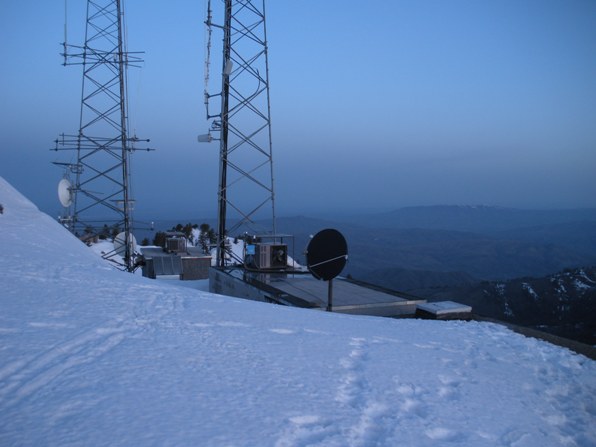
In 1980, another R-6 flat cab was built on top of the first cab. The first cab was still needed to house additional radio equipment. The lookout is available for emergency use.
1930
September 28, 1928 during the official opening of the lookout structure: Senator William E. Borah on center horse, Major R.Y. Stuart, the chief forester of the United States on horse on the far right. News reports say they took a car to the summit, not the horses.
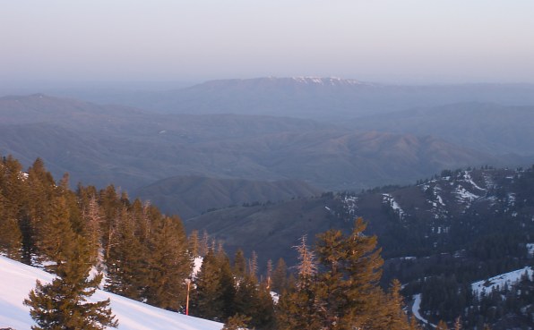
The next day, I hiked Squaw Butte in the far distance
Topo map


