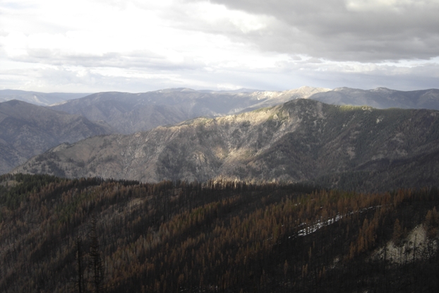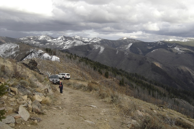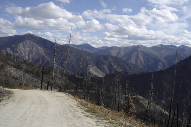
This road had serious exposure. A recent fire burned the entire area and I could see how the road was going to wash out if there was a heavy rain. The further down you drove, the steeper and narrower it got. It seemed snags and rockfall could come down the mountain on you at any time.
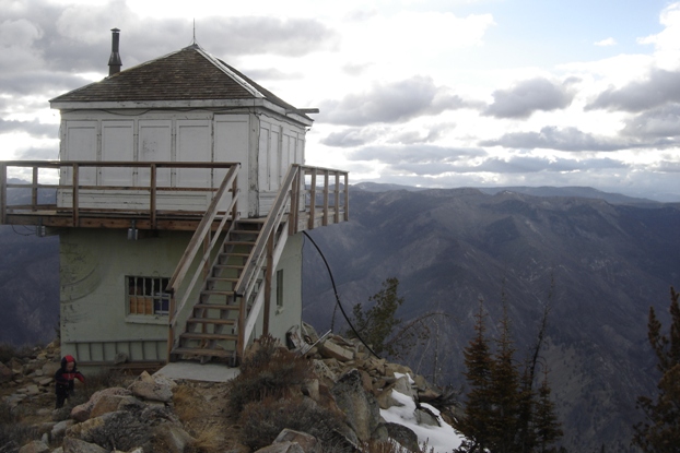
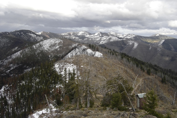
Walking a few feet up to the lookout
View south from the ridgeline road
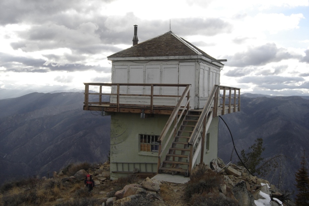
Pilot Peak Lookout
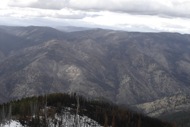
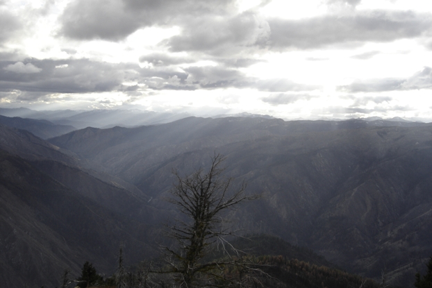
Looking east into the Frank Church River of No Return Wilderness
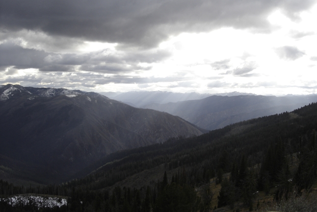
Looking North
I needed to get as far back towards town as I could. I had concerns that an approaching storm could dump snow and the already rough roads would become even worse. Well after dark, I reached the bottom of the Salmon River where a nice campsite exists. But, I still had concerns that I would have to drive up that crazy road to Warren Summit in snow if the storm did come. So, I continued up the road and out of the valley in the dark....an hour in first gear going 10 mph or so. I ended up going quite a distance back toward McCall before pitching camp at a campground.
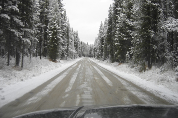
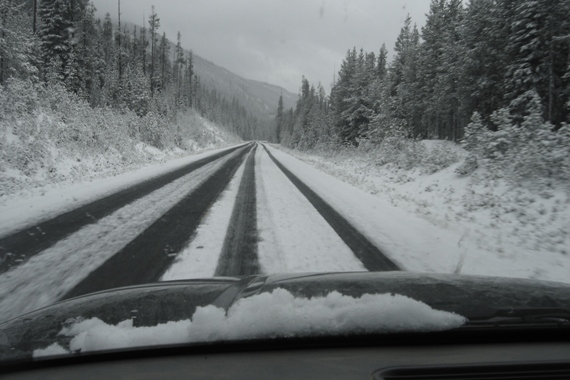
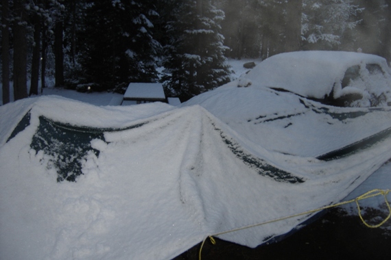
It started to sprinkle as soon as I started putting up the tent...within an hour, it turned to snow. By morning, it was winter and I was very glad I had climbed over 2 passes before camping.
Here are the kids in the tent that night.
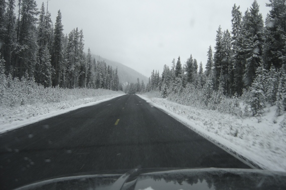
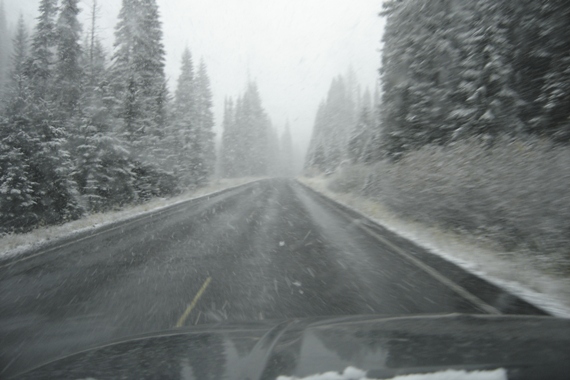
It was still a long drive out but the roads were good since I had already passed all the steep hills the night before.
I have always heard the Frank Church River of No Return Wilderness is one of the most remote places in the Lower 48 states. Just getting to this drive-up peak on the edge of the wilderness, I can believe it. I was memorized by how remote it felt. Maybe I was a bit edgy because it was mid-October and a winter storm was heading for the mountains. I had my 2 month old with me so I could not take too many chances. The lookout was an amazing perch, not on the highest point but what a view down to the Salmon River. I will definitely be back for more hiking, there was a loop drive here I wanted to do but recent snow was already blocking the route south to Yellow Pine.
Pilot Peak (Salmon River)
Distance: Drive-up
Elevation Gain: Drive-up
Summit Elevation: 8,057 feet
County: Valley
Access: High clearance dirt road near end
WillhiteWeb.com
Access:
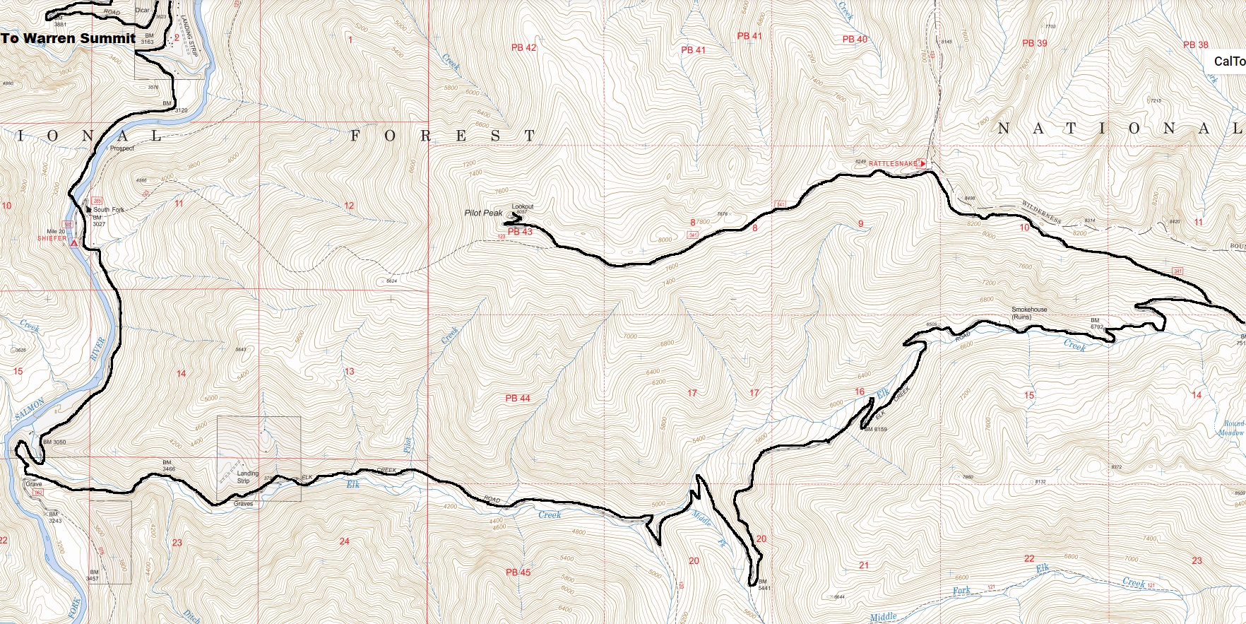
From McCall, take Highway 21 north along the west shores of Payette Lake. This is also called the Warren Wagon Road. Follow it 52 miles to Warren. The Payette National Forest has a free Auto Tour CD at their Lake Street office in McCall which describes the scenic 45 mile drive. Warren is a gold mining town, the 5th oldest town in Idaho. Continue past up to Warren Summit. Then drop down a nice but crazy road into the North Fork Salmon River. Because forest fires burned all the trees here, it seems like the road could just slide off the mountain. At the bottom, you pass several residences. It's like another world here, living in one of the most remote locations I'd ever seen. Beyond the road gets rougher climbing the Elk Creek drainage. Have a good map...although there aren't many side roads that go very far. Take a left on the Pilot Peak road and follow it to the summit. You'll need high clearance 4WD for the last several miles.
Ridge road to the lookout
Driving out the next morning
Lookout History:
In 1919, a 12 x 12-foot log cabin was built.
In 1932, a log lookout house was constructed.
In 1954, an L-4 cab was built on a 10-foot cinder block concrete base.
In 1985, the lookout was ordered evacuated when the fire jumped over Elk Creek.
In 1959, the USGS described the lookout as a two story structure about 14 feet square and 25 feet high to the peak of the roof. The upper story is of wood and is surrounded by a walkway about 4 feet wide while the lower part of the building is of concrete. It is painted white and has a green roof. It is owned and operated by the Forest Service.
