Mount Harrison is the most northern mountain before the flatlands of the Snake River Plain. The view on a clear day must seem to extend forever. Near the summit is Pomerelle Ski Area, a resort that surprisingly gets a fair amount of snow. The very summit is easy to reach on a paved road and it has an active fire lookout as well. The lookout provides a high degree of fire detection potential for Cassia and Albion divisions of the forest, the Raft River and Black Pine divisions and thousands of acres of Bureau of Land Management land.
Mount Harrison
Distance: Drive-up
Elevation Gain: Drive-up
Summit Elevation: 9,265 feet
County: Cassia
Access: Paved
WillhiteWeb.com
Access:
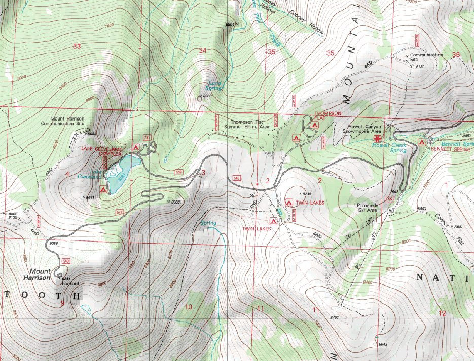
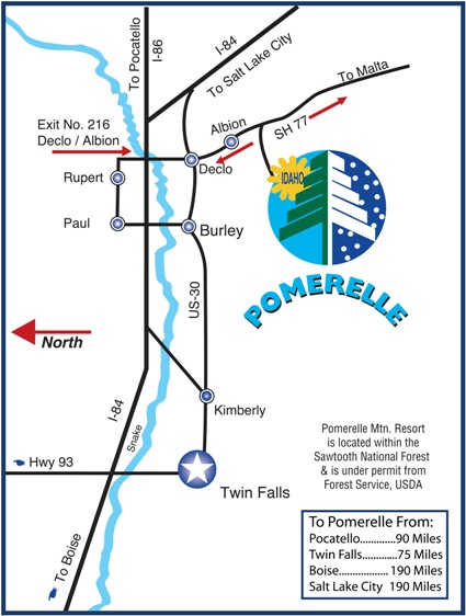
From I-84, head south from the Declo / Albion exit number 216. Go through the town of Albion until you see a sign for Pomerelle Ski Resort. Near the entrance of the ski area is a signed road to the right to Thompson Flat, the Twin Lake picnic area, and Lake Cleveland. Follow this road to the summit.
Fire Lookout
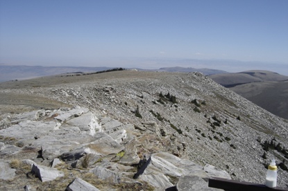
Looking east
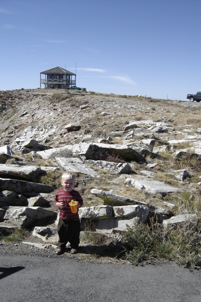
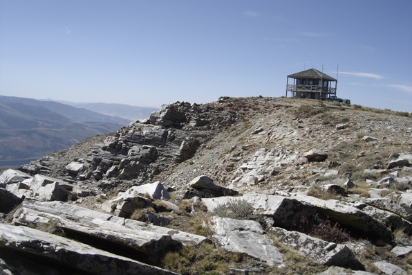
Lookout building
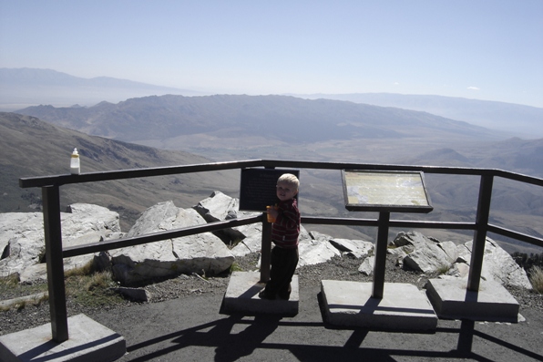
Looking northwest
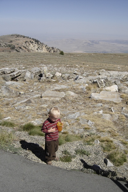
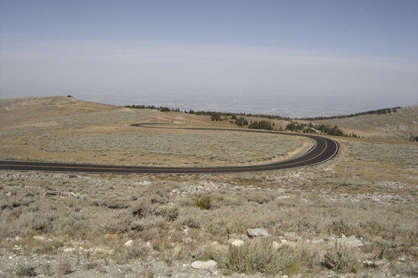
The paved road up
Looking north
Lookout History:
In 1977, the present hip-roof 2-story R-6 cab was built.
In 1930s, this was a lookout post.
In 1942, the lookout was Benjamin F. Powell of Albion. He used a short wave radio to report to headquarters almost every hour.
In 1962, a trailer was added as the living quarters to the Mt. Harrison lookout station by Hunter Nelson of the Sawtooth National Forest.
In 1963, the lookouts were Mr. and Mrs. Glen E. Anderson.
In 1964, the trailer was again brought to the summit for the fire season. It was the watch tower and home again of Mr. and Mrs. Glen E. Anderson, Heyburn. All the conveniences of home are in the lower half of the trailer, with an observation tower overhead. The trailer was one of four built according to specifications supplied by the forest service and is the only one located in region four, which consists of Utah, southern Idaho, New Mexico and Western Wyoming. The other three are located in Arizona, Colorado and Montana. The trailer is 26 feet in length, while the tower is 10 feet off the ground. Built for rugged use, the trailer has an angle-iron bumper and heavy-duty construction throughout. A collapsible tower is stored in specially built containers in the bedroom of the trailer after each of the four wall windows are removed. Lowering the roof of the tower takes from one to one and one-half hours.
In 1966, the lookout was Dave Gillett of Declo. He replaced Jim Reid of Jerome, who was drafted into the Armed Forces.
In 1977, the lookout was the only fire lookout south of the Snake River. The outdated buildings and Forest Service trailer house was replaced with a permanent structure. At a cost of $25,000, a two-story building designed to withstand the heavy weather at the top of the 9,265 peak was built. It has a ground floor storage area and a second story for living quarters and lookout facilities. The project also allowed for addition of a Visitor Information Center. According to the Forest Service at that time, the mountain received about 3,500 visitors annually between July and October.
From 1984 to 1999, the lookout was Jim Sheridan, every summer, five days a week.


